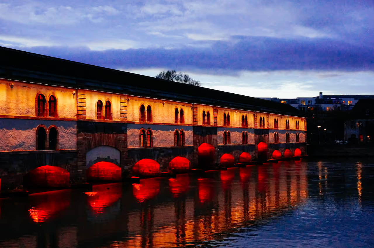
Vauban Dam
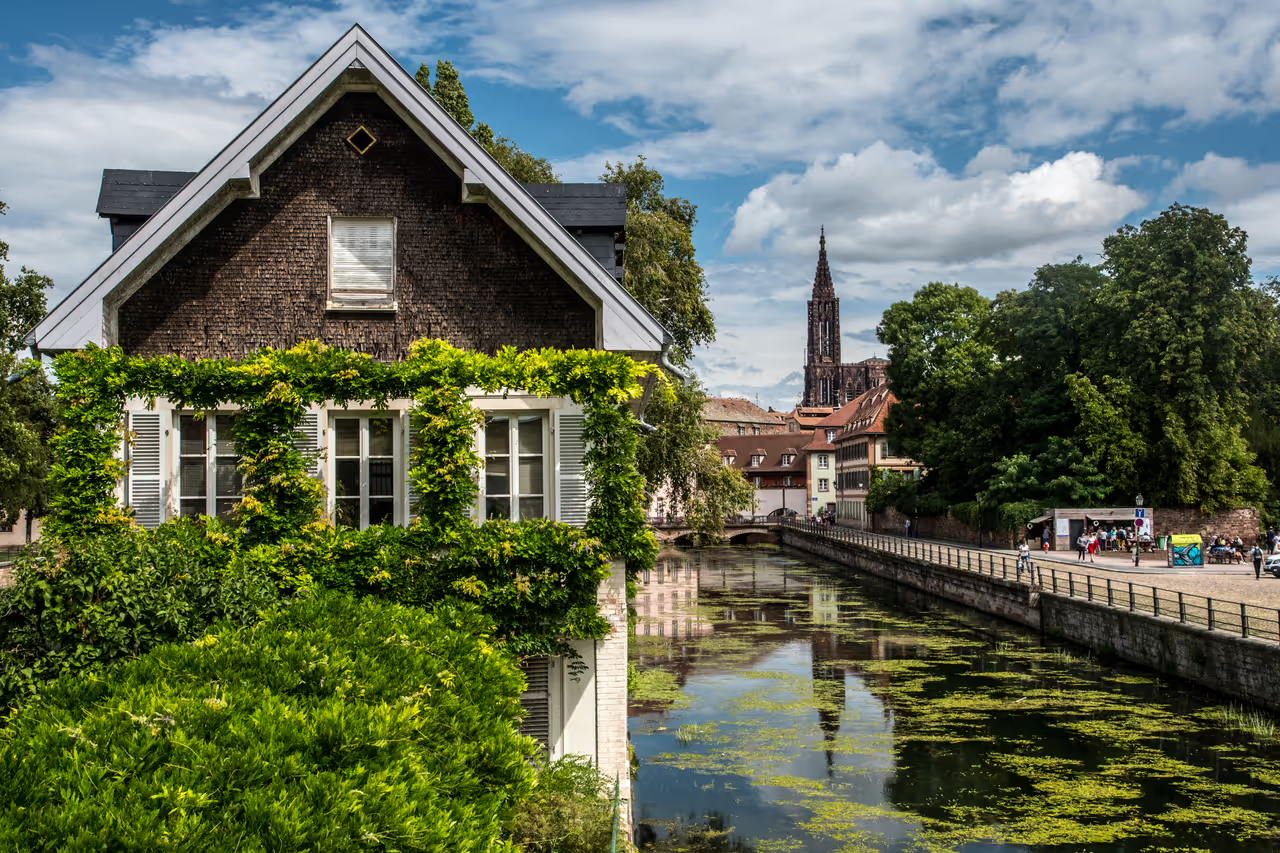
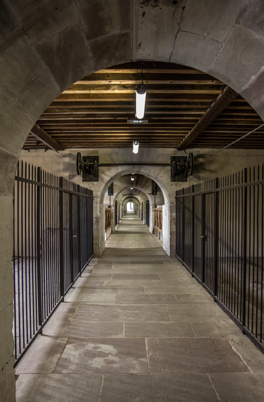
Spanning the tranquil waters of the Ill River, the Barrage Vauban is one of Strasbourg's most impressive engineering marvels and historical landmarks. Designed by the famed military engineer Vauban in the late 17th century, this fortified lock bridge served as a defensive barrier capable of flooding the southern approaches to the city. Today, it offers visitors an exciting journey through military history alongside breathtaking panoramic views. Walking through its covered gallery reveals plaster casts and statues rescued from the cathedral, while the green roof terrace provides wonderful photo opportunities over the medieval Ponts Couverts and towering spire of Notre-Dame. It is an essential stop for anyone exploring the picturesque Petite France district.
Videos
History of Vauban Dam
In 1681, following the annexation of Strasbourg by the Kingdom of France, military engineer Sébastien Le Prestre de Vauban recognised a glaring vulnerability in the city's southern defences. The medieval Ponts Couverts could no longer withstand modern artillery, prompting the construction of a massive fortified lock bridge upstream. Under the direction of architect Jacques Tarade, workers spent seven years erecting a stone fortress equipped with thirteen grand arches and iron sluice gates, engineered to submerge surrounding farmland into impassable mud at the first sign of siege. The grand defence strategy faced its ultimate test nearly two centuries later during the Franco-Prussian War of 1870. As Prussian forces surrounded Strasbourg, defenders lowered the heavy iron gates, successfully raising the river level and inundating the southern plains. Following the city's annexation into the German Empire, engineers modified the structure to meet modern military standards, raising it by an additional storey and capping the roof with protective layers of earth and turf. Throughout the twentieth century, the dam transitioned from a terrifying military machine into a celebrated civic asset. In 1966, civic leaders reimagined the grassy rooftop as a panoramic terrace, opening up sweeping vistas across the Ill River towards the medieval towers and cathedral. Today, the internal corridors host temporary art exhibits and plaster casts of intricate cathedral sculptures, transforming a former instrument of war into an inspiring bridge of culture and history.
Events spanning 329 years
Fun Facts
- • Closing the sluice gates created artificial floods across southern fields, turning farmland into deep, impassable mud swamps to trap invading armies.
- • Following the Franco-Prussian War, German military engineers covered the upper roof with earth because dirt absorbs bomb impacts far better than exposed stone.
- • Inside the covered corridor, visitors can inspect original plaster casts and statues that were moved here from Strasbourg Cathedral for preservation.
- • Lower river embrasures positioned near the waterline served as positions where cannon batteries could sink enemy boats attempting to force entry into the city.
- • The 120-metre structure served as a vital link connecting former military fortifications on both banks of the Ill River.
- • The bridge features three internal drawbridges, allowing defenders to isolate different sections of the corridor if attackers managed to break inside.
- • The long internal passageway is named Passage Georges Frankhauser in honour of the founder of the Friends of Old Strasbourg association.
- • The panoramic roof terrace was added in 1966 and completely redesigned in 2012 with a contemporary green garden roof.
- • Vauban designed the lock bridge with thick masonry walls and heavy iron drop gates that could completely seal off the Ill River in minutes.
Vauban Dam FAQ
While we strive to keep this information accurate and up to date, we recommend verifying any details independently before making decisions based on them.
Vauban Dam Map & Neighborhood Explorer
This interactive map is centered on Vauban Dam. Zoom in and move the map around to automatically discover Wikipedia photos and summaries of other nearby sights, monuments, and historical points of interest and stories in real-time!
Places near Vauban Dam
Make the most of your trip. Check out these top-rated spots located nearby.
 120m
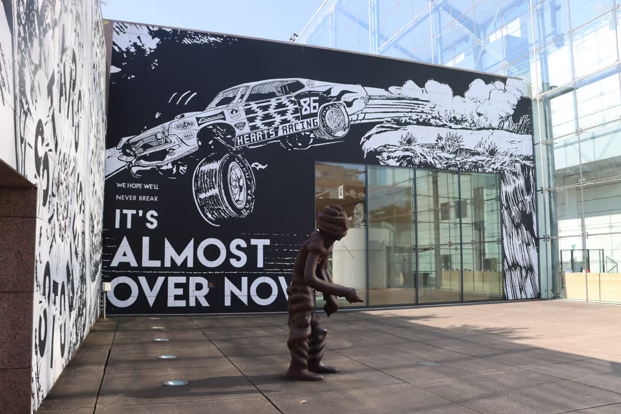
120mMuseum of Modern and Contemporary Art
A striking, glass fronted building situated on the banks of the Ill river, housing an extensive collection of art from the 1870s to the present day. The bright, spacious galleries feature works by renowned masters like Monet, Picasso, and Kandinsky, alongside prominent local artists like Jean Arp. The architecture of the museum itself is a masterpiece, offering a massive, light filled nave that serves as a central artery. The rooftop terrace features a fantastic cafe with some of the best panoramic views of the Petite France district. It is a vibrant, inspiring space for art lovers.
highlight view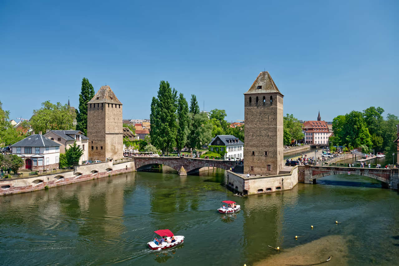 138m
138mCovered Bridges of Strasbourg
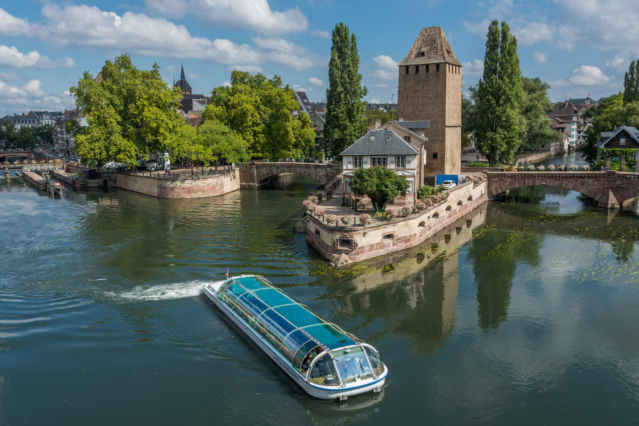
Standing proudly at the entrance to the historic Petite France quarter, the Covered Bridges offer one of the most enchanting vistas in Strasbourg. Despite losing their original wooden roofs over two centuries ago, these impressive structures retain their romantic name and rich defensive heritage. Three stone arch bridges span the arms of the River Ill, punctuated by four imposing medieval fortification towers that once guarded the medieval city. Walking across these Rhine-cobbled pathways gives visitors sweeping views of timber-framed houses and the nearby Vauban Dam. It is an ideal location to capture memorable photographs and admire centuries of Alsatian engineering. A visit here offers a memorable connection to the defensive origins of this remarkable border city.
attraction view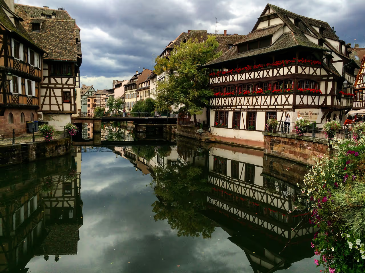 268m
268mPetite France
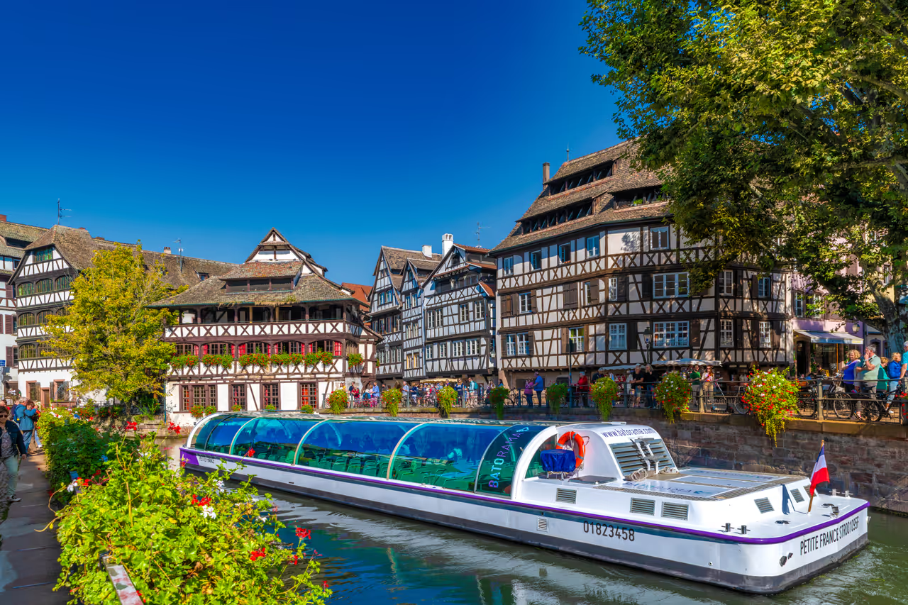
Step into a postcard fairy tale as you wander through Petite France, the most scenic historic quarter of Strasbourg. Located on the western tip of the Grande Île, this enchanted neighbourhood is laced with peaceful canals, vibrant half-timbered houses, and cobblestone lanes overflowing with flowers. Once an industrial hub of tanners, millers, and fishermen, today it offers a magical riverside atmosphere filled with traditional Alsatian winstubs and charming waterfront cafés. You can watch the unique turning bridge open for sightseeing boats, marvel at medieval defensive towers, or simply soak in centuries of rich Franco-German heritage. A stroll through these romantic alleyways is an indispensable highlight of any visit to Alsace.
attraction view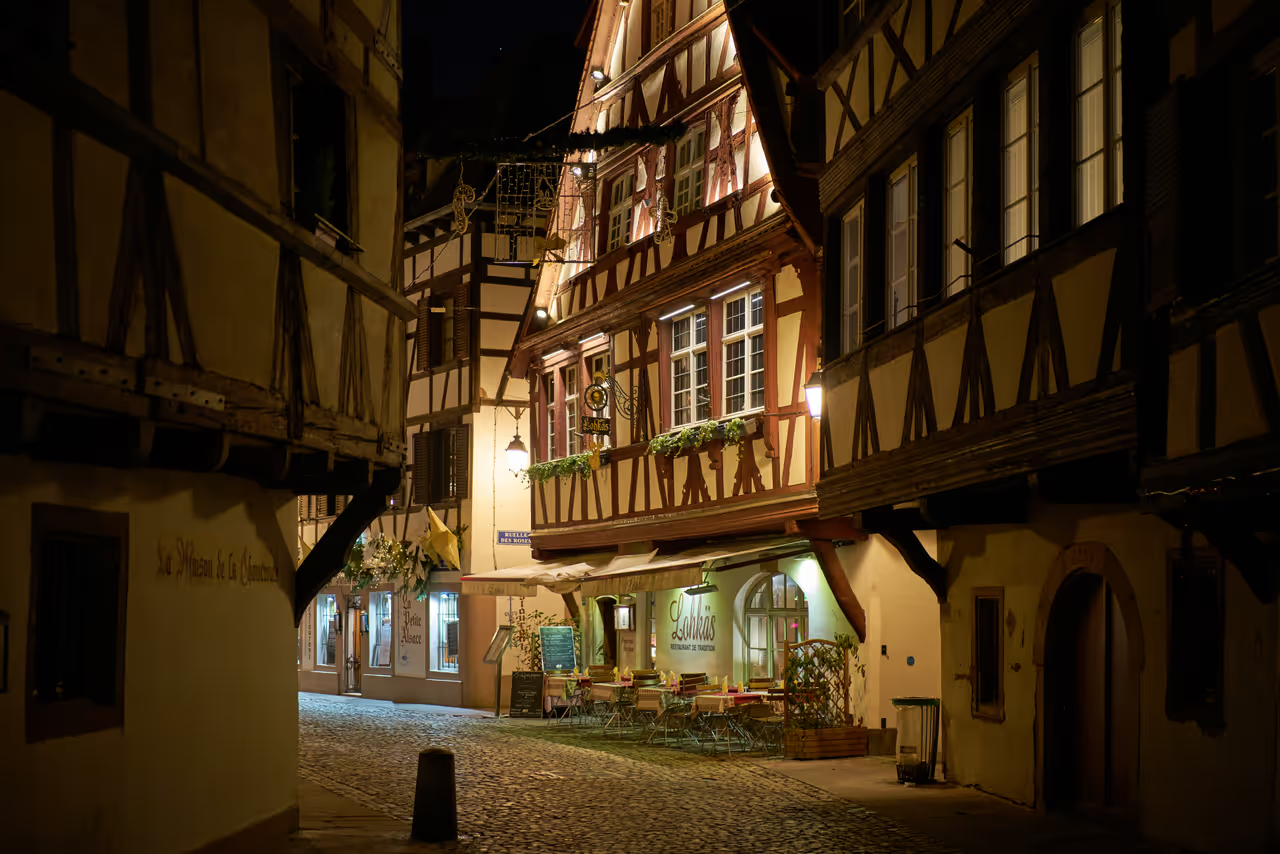 349m
349mPlant Bath Street
The absolute focal point of the Petite France district, offering the most concentrated cluster of perfectly preserved half timbered houses. The street curves gently alongside the canal, creating a dynamic leading line for photographs. The brightly painted facades and heavy wooden beams look particularly stunning when decorated with blooming summer flowers or winter holiday lights. It is incredibly popular, so arriving early is crucial for an unobstructed shot.
photo spot view
Explore Similar Places in This Collection
Featured on These Itineraries and Routes
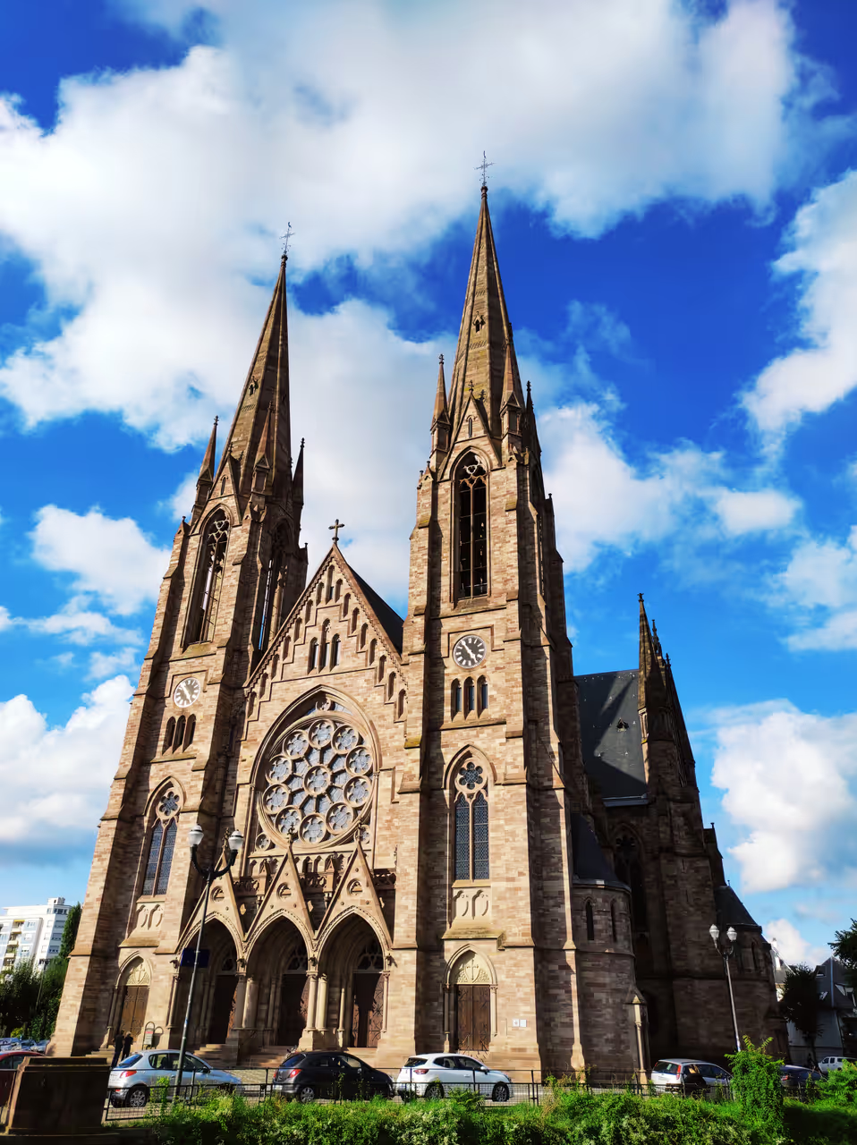
1 Day in Strasbourg: The Medieval Heart Itinerary
This highly focused itinerary captures the absolute essence of the city for visitors short on time. You will spend your day entirely within the historical core, exploring the staggering gothic architecture and the most picturesque canal streets. It provides a perfect balance of awe inspiring monuments and relaxed, atmospheric wandering. You will experience the quintessential charm that earned the city its UNESCO status.
view itinerary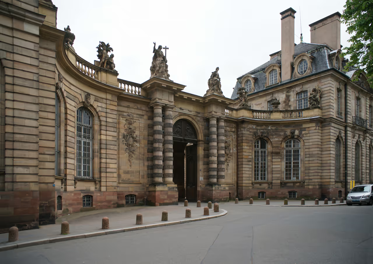
3 Days in Strasbourg: Heritage & Europe Itinerary
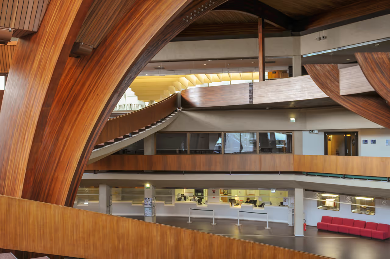
A comprehensive journey that allows you to fully appreciate the city's dual identity as a medieval jewel and a modern European capital. After exploring the historical centre, you will dive into the grand imperial architecture and the sleek international institutions. This pace leaves plenty of time to enjoy long meals at traditional Winstubs and relaxed walks through the parks. It is the ideal duration for a deeply satisfying city break.
view itinerary
5 Days in Strasbourg: The Complete Experience Itinerary
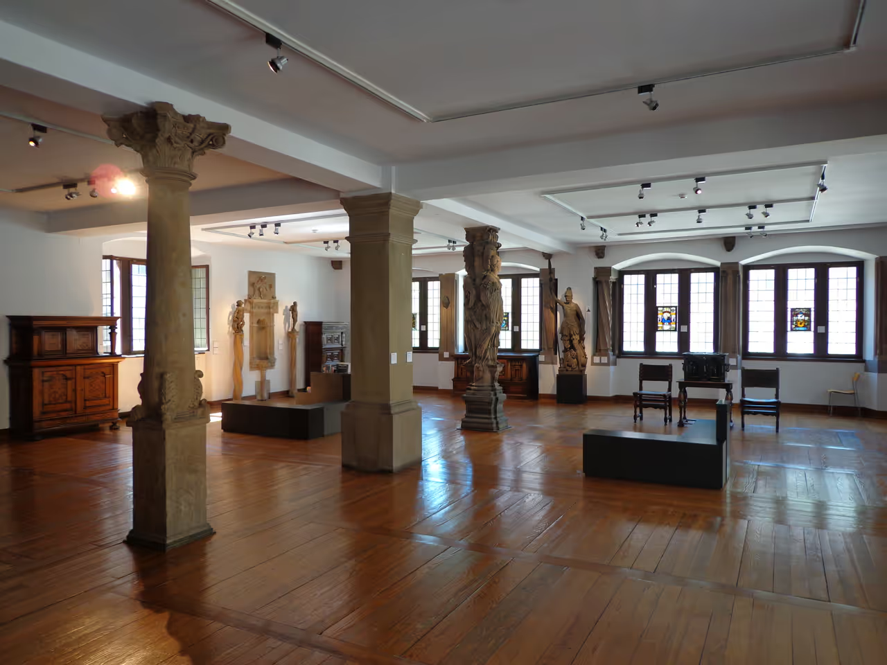
An immersive, unhurried exploration that ventures well beyond the typical tourist paths. Over five days, you will uncover hidden historical oddities, explore vast green spaces crossing international borders, and absorb the city's vibrant modern culture. This itinerary allows you to truly sync with the local rhythm, mixing world class attractions with quiet, atmospheric discoveries. It is perfect for the curious traveller wanting a deep connection with the region.
view itinerary
Ill River Canal Loop
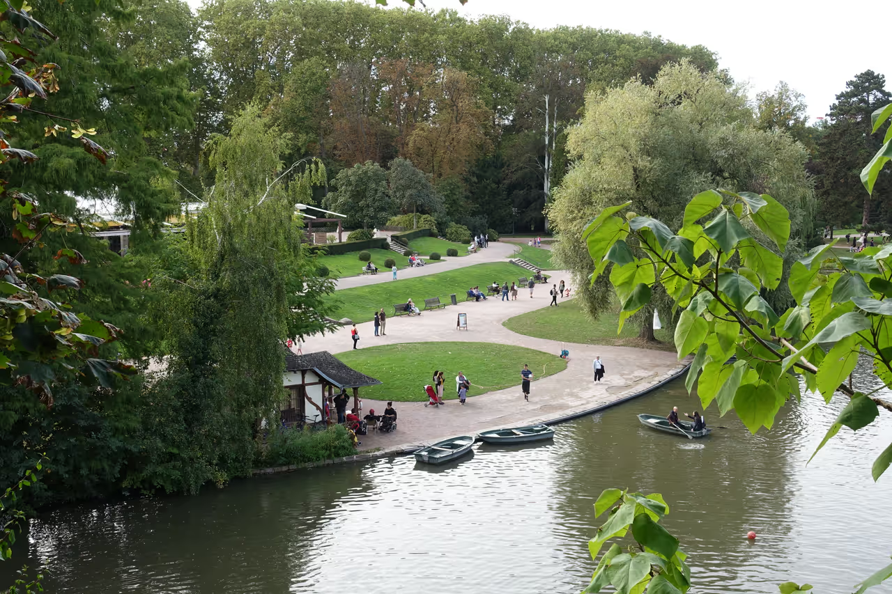
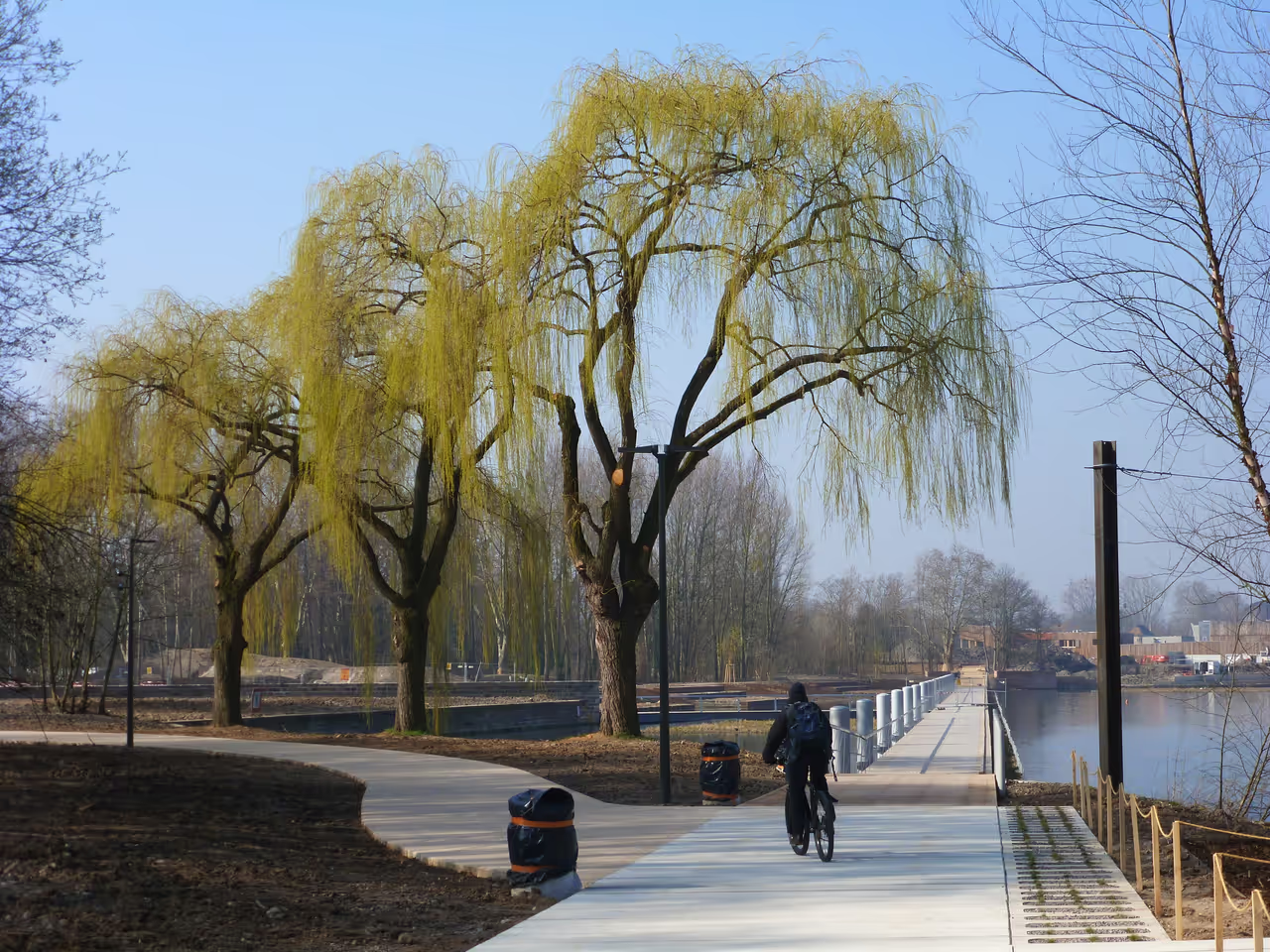
A highly picturesque route that follows the intricate waterways winding through and around the city. You will ride under weeping willows, past historic locks, and alongside impressive waterfront architecture. The water has a calming effect, and the paths are generally flat and shaded by mature trees. It offers a fantastic perspective on how the city was built to integrate with its rivers. This ride is perfect for a lazy afternoon when you want to enjoy nature without leaving the urban limits.
view cycling route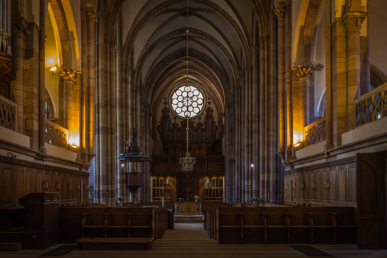
Petite France Stroll
A deeply romantic walk through the city's most iconic and beautifully preserved medieval quarter. You will wander along narrow, cobblestone streets lined with incredibly colourful, timber framed houses dating back to the 16th century. The area is crisscrossed by calm canals and shaded by weeping willows, creating a remarkably tranquil atmosphere. Every corner offers a picture perfect view, making it a joy to explore without a strict destination. It is an immersive journey into the city's historical artisan past.
view walking route
See all attractions in Strasbourg
Covered Bridges of Strasbourg, Palais Rohan, Petite France, Strasbourg Cathedral...