Lake Wöhrd
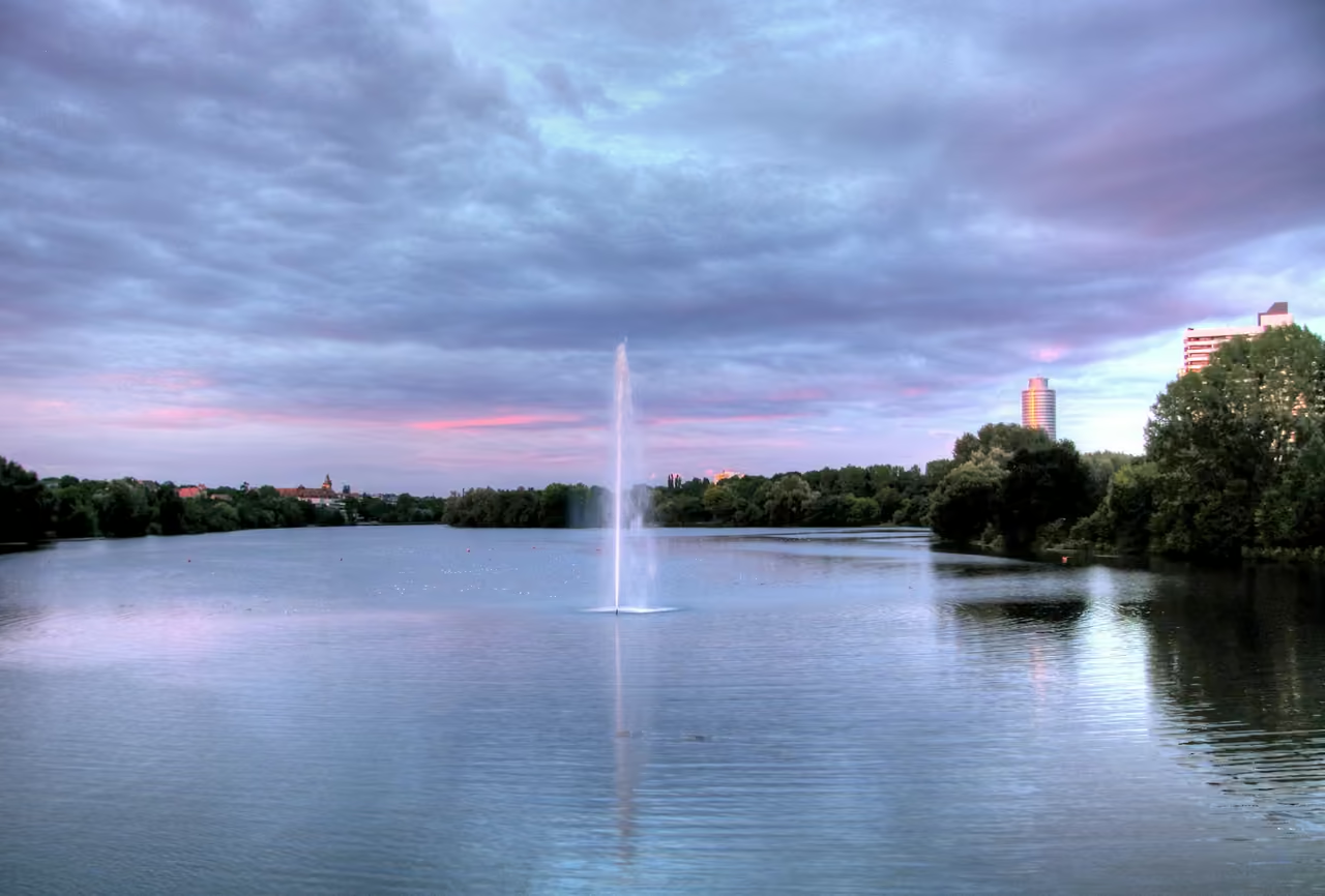
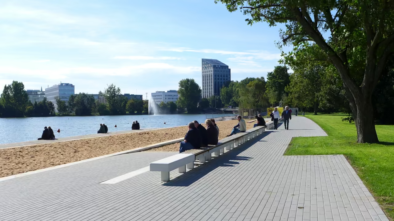
A wide stretch of open water slicing through Nuremberg's eastern districts, Lake Wöhrd functions as the city's outdoor living room from spring until autumn. Engineered after the war to stop the Pegnitz from swamping the historic centre, it separates into two distinct worlds: an active leisure zone downstream and a tangled nature reserve upstream. Swimmers gather at the fine sand of Norikus Bay, while pedal boats paddle across the lower basin under the silhouette of modernist high rises. Inline skaters and commuters glide down Johann Soergel Weg alongside swans drifting through the shallows. On sunny afternoons, local families unpack picnics on the grass while the gentle rumble of the S-Bahn fades behind rustling poplars.
Videos
History of Lake Wöhrd
After the devastation of the Second World War, the eastern floodplains of the river Pegnitz were left scarred with bomb craters and boggy ground, prone to seasonal surges that routinely flooded the historic city centre. Nuremberg authorities needed a dual solution: protect the medieval core from flash floods and reclaim a ruined expanse of marshland. In 1959, the municipal council chose an unconventional path. Rather than lining the river with high concrete walls, they drew up plans to flood the meadows, shaping a massive urban reservoir designed for flood retention and public recreation. Carving out the new lake over the subsequent two decades transformed the geography of eastern Nuremberg. Engineers merged two rambling river branches into a single controlled channel, dug out tons of silt, and constructed a weir equipped with a hydroelectric station to capture renewable power. Across the southern shoreline on the Zeltnerhügel, builders simultaneously erected the Norikus, a radical residential complex inspired by Le Corbusier that stacked hundreds of homes high into the sky. When the reservoir finally celebrated its formal opening in 1981, it bridged the gap between raw functional engineering and everyday leisure. Keeping the artificial lake balanced has remained an ongoing mission. Sizzling midsummer heat regularly triggered thick algae blooms, requiring the city to deploy specialised weed trimming boats across the surface. Decades later, the Free State of Bavaria launched the Water World initiative, investing heavily to create a sandy city beach and Norikus Bay. Engineered with hidden dykes and biological reed filters, the bay keeps water circulating naturally so that swimmers can dip their feet into cool currents within sight of passing trains. Today, the basin thrives as an energetic communal space, balancing urban sunbathing alongside quiet bird sanctuaries upstream.
9 events spanning 60 years
Fun Facts
- • Because warm summer sunshine accelerates aquatic plant growth, the city operates a specialised weed-cutting boat that trims dense underwater vegetation like a lawnmower.
- • Before the reservoir reshaped the valley, a small millpond called the Pulversee sat here, taking its name from an old gunpowder mill in the neighbouring Tullnau district.
- • Beneath the lake dam operates a municipal hydroelectric station generating between 150 and 400 kilowatts of electricity directly into the city network.
- • During spring 2007, an unusual Australian black swan mysteriously appeared on the water and spent weeks coexisting peacefully with the local mute swan flock.
- • On 1 October 2019, artist Roland Eugen Beiküfner unveiled an artwork on the lake bed comprising sea sand from Nice and an 8-bit Commodore 64 sealed in solid concrete.
- • The Norikus residential complex perched on the south bank contains the largest private underground car park in southern Germany, holding more than 600 vehicles.
- • The boundary between the two lake basins divides two rival bird colonies, with cormorants roosting in tall trees on the east bank directly opposite an active rookery of grey herons.
- • The reservoir was created partly to eliminate the vast field of wartime bomb craters that had scarred the Pegnitz meadows since aerial bombardments in the 1940s.
- • The water is split into two distinct management sectors: the lower lake welcomes pedal boaters and swimmers, while the upper lake is an untouched wildlife sanctuary where watercraft are barred.
- • Water in Norikus Bay stays at a regulated depth of 1.35 metres and circulates through organic plant filters to keep sediment low without artificial chemicals.
Lake Wöhrd Map & Neighborhood Explorer
This interactive map is centered on Lake Wöhrd. Zoom in and move the map around to automatically discover Wikipedia photos and summaries of other nearby sights, monuments, and historical points of interest and stories in real-time!
Lake Wöhrd FAQ
While we strive to keep this information accurate and up to date, we recommend verifying any details independently before making decisions based on them.
Places near Lake Wöhrd
Make the most of your trip. Check out these top-rated spots located nearby.
 1243m
Walk the City Walls
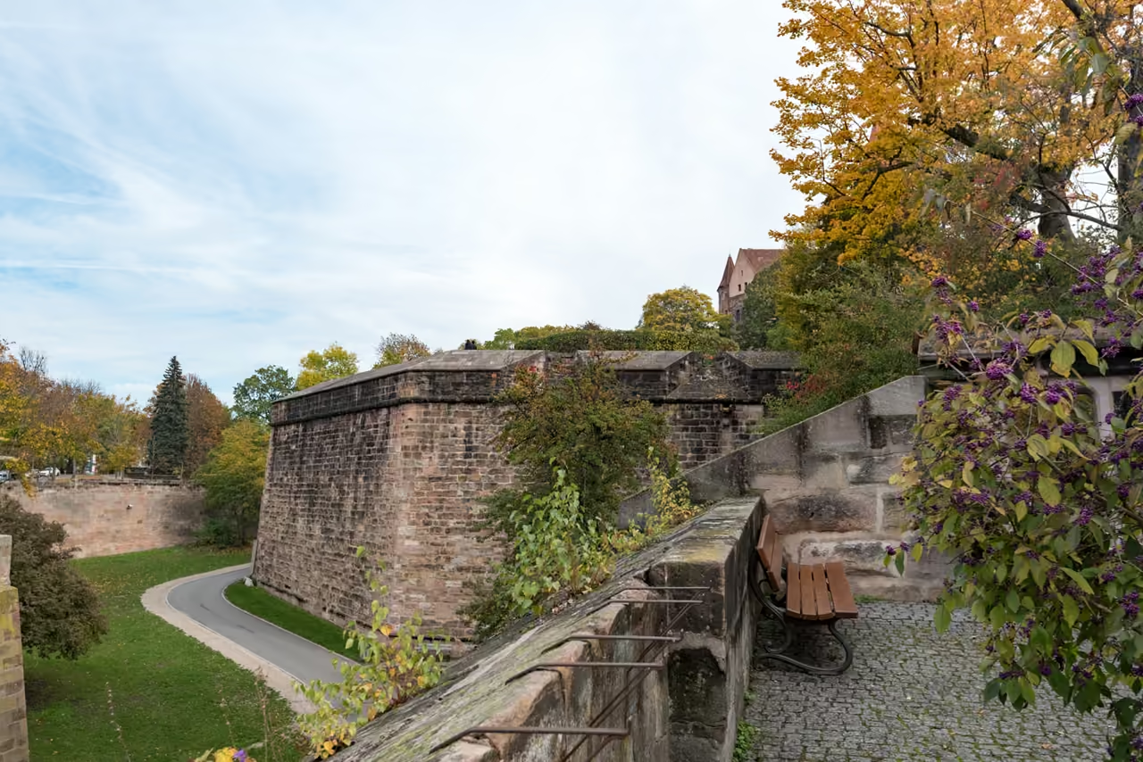
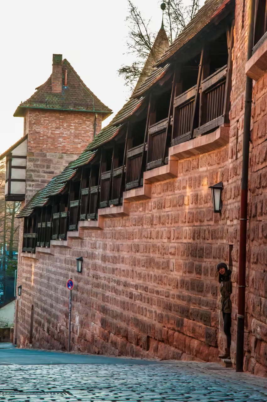
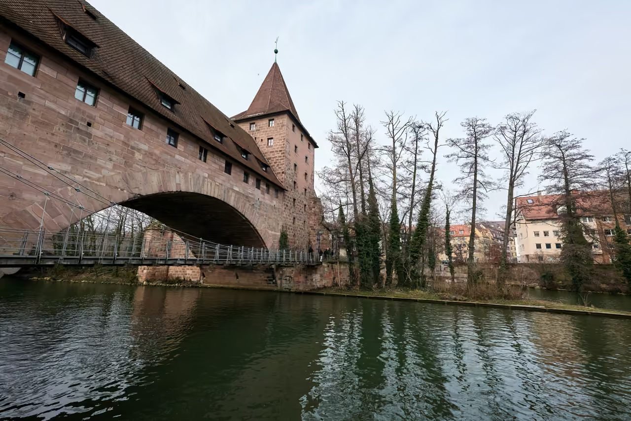
Tracing the perimeter of the medieval core requires zero euros and provides a deep understanding of the city's historical defences. The massive sandstone towers and dry moats form a harsh boundary between the busy modern ring roads and the quiet inner alleys. Certain sections behind the castle allow you to climb up onto the elevated wooden ramparts, peering down into the gardens below. It offers a physical, tactile connection to the medieval era without entering a museum.
free thing to do view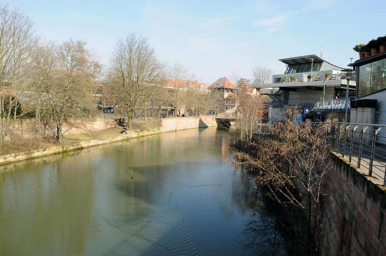 1450m
Cinecittà Rooftop
Germany's largest multiplex cinema sits surprisingly well integrated into the eastern edge of the old town near the river. Taking the glass elevator to the upper outdoor terraces reveals an unexpected, modern vantage point. Visitors gaze out over the Pegnitz river and the spires of the Altstadt while holding a cocktail from the rooftop bar. The elevation isn't dizzying, but it provides a rare, elevated perspective from the southern side looking north. Access to the terraces is free, though the adjacent bars encourage purchasing a drink.
viewpoint view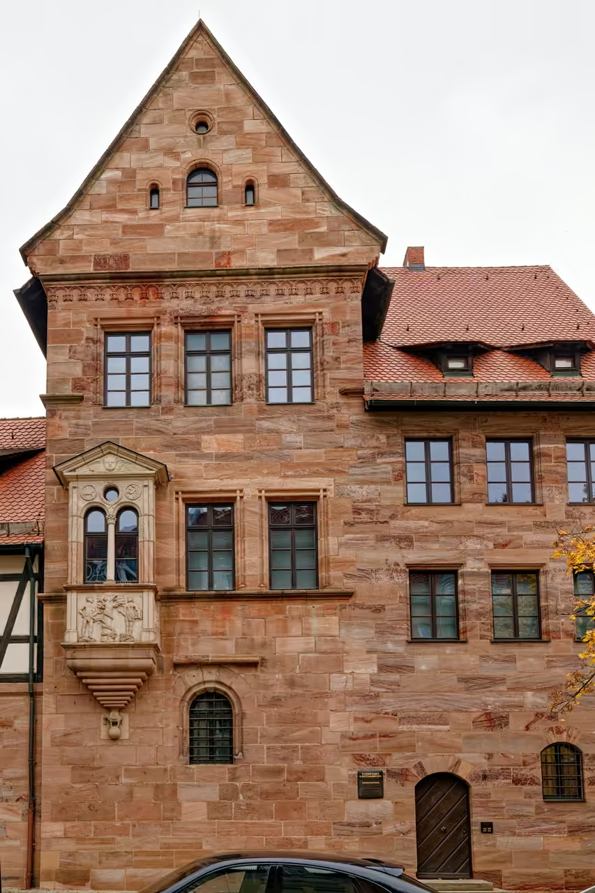 1494m
Tucher Mansion
Built in the early 16th century, this grand sandstone estate served as the private summer residence for one of the city's most powerful merchant families. The interior functions as a time capsule of patrician life, displaying heavy tapestries, ornate silver drinking cups, and intricate wooden furniture. The manicured back garden holds the reconstructed Hirsvogel Hall, an early Renaissance banquet room famous for its elaborately painted ceiling. Escaping the crowded central squares, visitors can quietly explore how the ruling elite insulated themselves from the working-class masses.
hidden gem view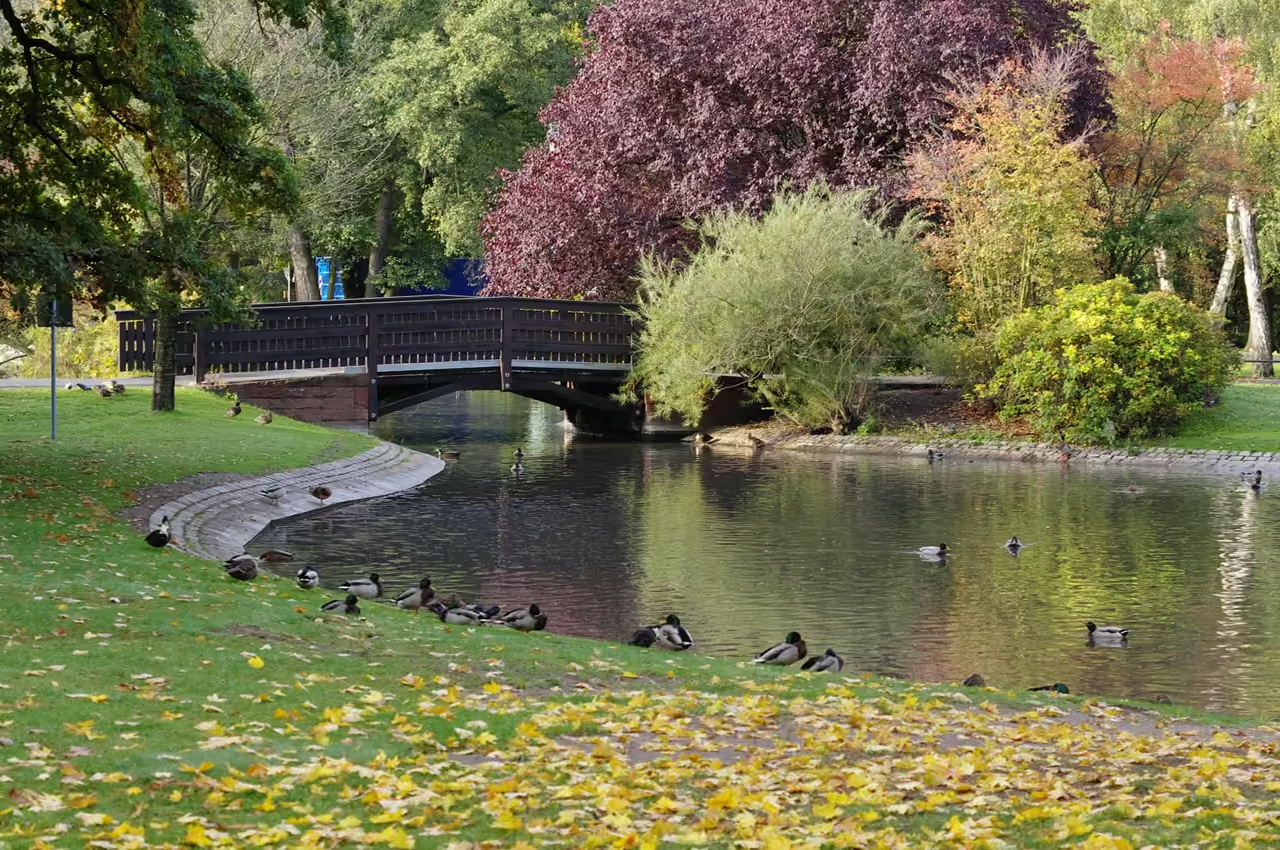 1580m
City Park
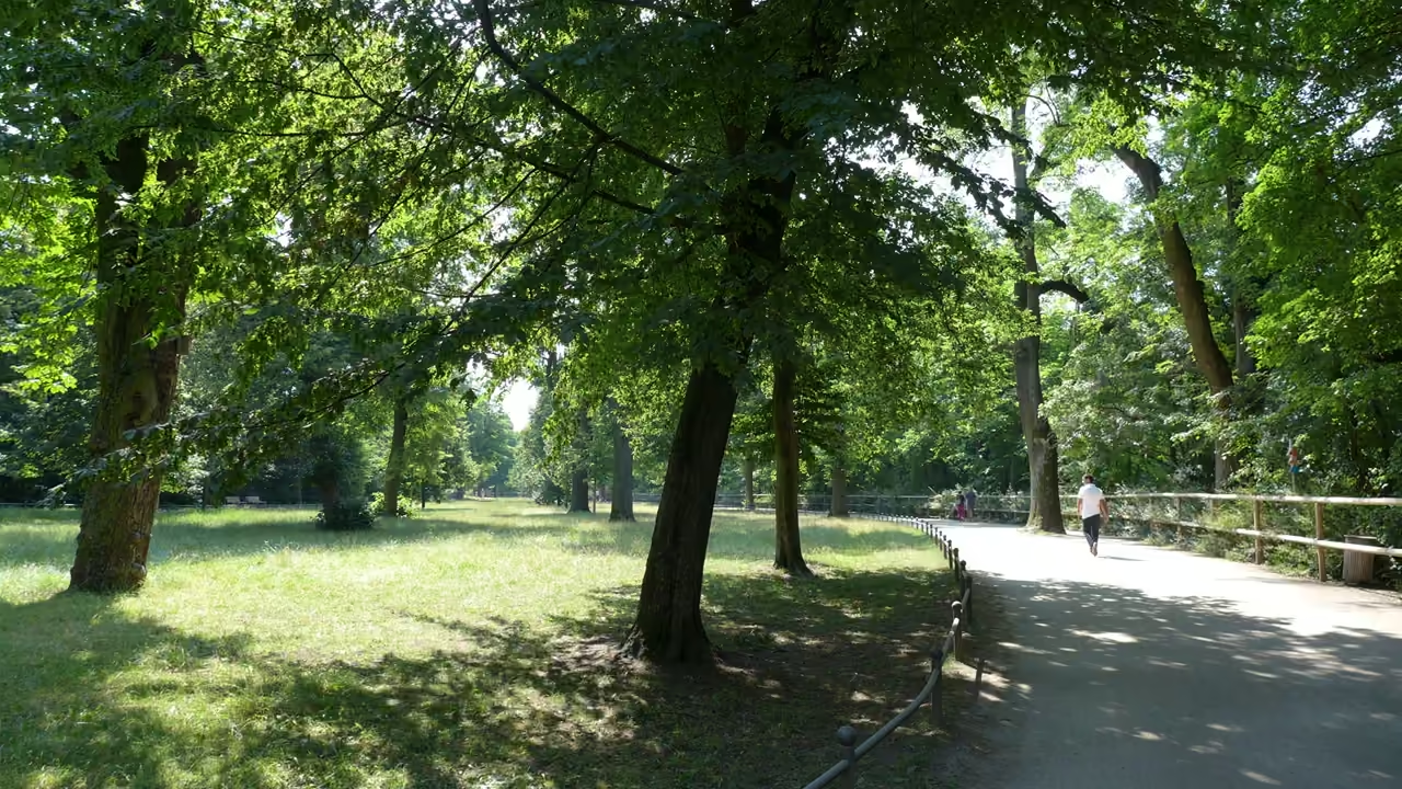
Step off the paved streets of northern Nuremberg and onto the winding, tree-lined paths of this expansive 19-hectare green space. Originally established in the eighteenth century, the park has evolved from a simple avenue of horse chestnuts into a sprawling landscape of manicured rose gardens and architectural fountains. A large pond anchors the centre, where locals often gather on sunny afternoons, occasionally competing for bench space with an assertive local mallard. You can wander past the monumental Neptune Fountain, which found its current home here in the 1960s, or seek out the whimsical bronze sculpture of a faun teasing a frog. The area hums with quiet daily rituals, from morning joggers weaving through the garden courtyards to families picnicking near the restored pergolas. End your walk near the historic marble vases, physical markers of the massive Bavarian state exhibitions that transformed this space over a century ago.
park & nature view
Explore Similar Places in This Collection
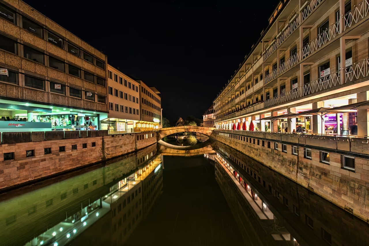
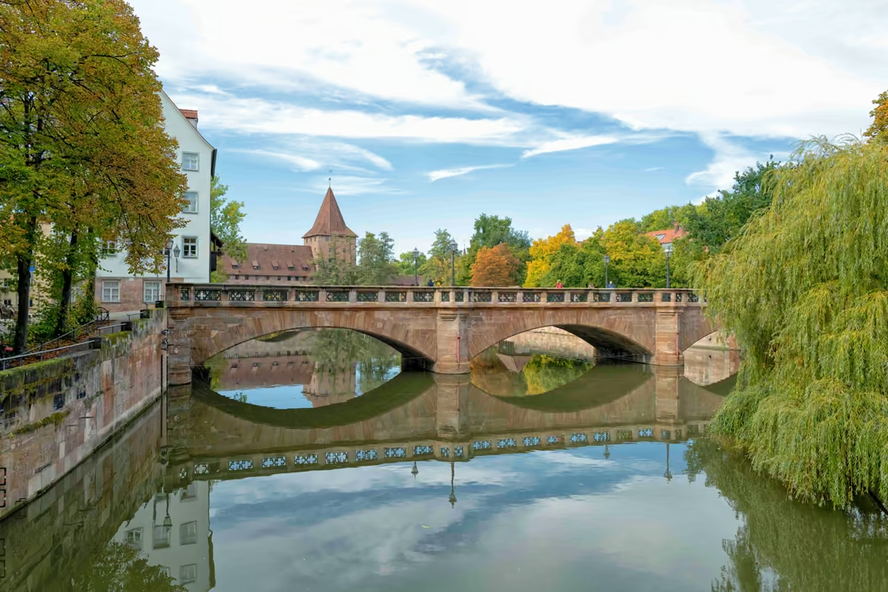
Featured on These Itineraries and Routes
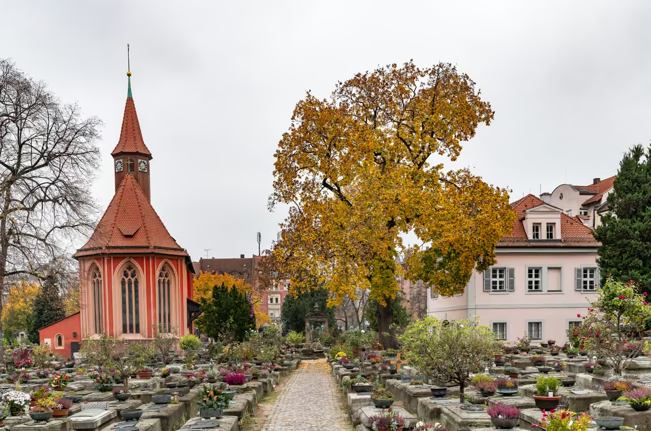
5 Days in Nuremberg
A full working week allows visitors to treat the city like a local, diving into highly specific museums and exploring the outer green belts. The schedule incorporates deep dives into the transport history and hidden patrician gardens that most tourists never see. It factors in time for long walks along the Pegnitz river and cycling trips into the vast eastern forests. The itinerary assumes a desire to experience the quiet, residential pockets of the city alongside the major monuments. This timeline transforms a rushed sightseeing trip into a relaxed cultural immersion.
view itinerary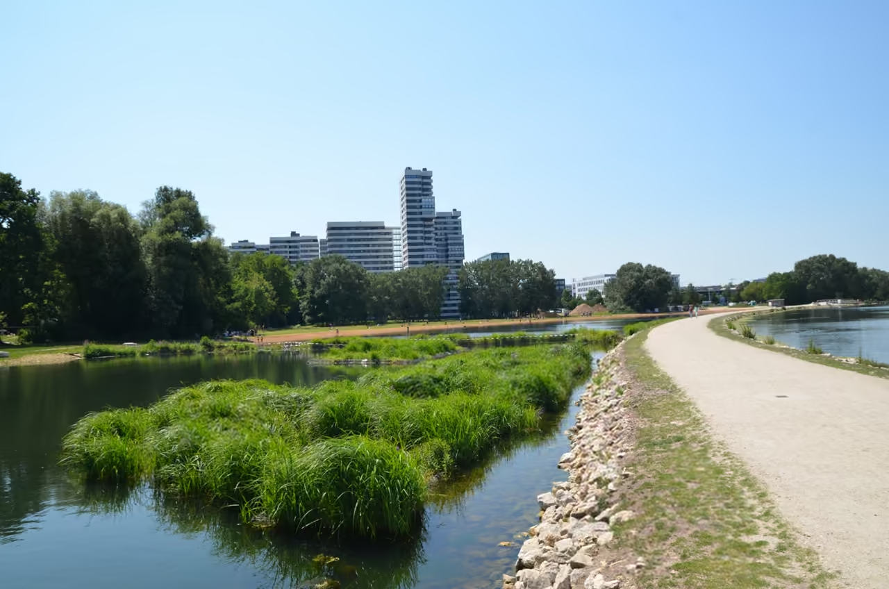
Wöhrder Lake & City Beaches
Circling the dammed lake just east of the old town, this short route prioritises views over mileage. The paved paths hug the shoreline closely, passing sandy urban beaches, modern apartment blocks, and small grassy peninsulas. It functions as a massive outdoor living room for the city, meaning cyclists must navigate around wandering pedestrians, sunbathers, and aggressive geese. The route offers fantastic, unobstructed views of the city skyline reflecting on the water. Multiple cafes and kiosks line the northern bank, making it easy to turn a short ride into a long afternoon of lounging.
view cycling route
See all nature & parks in Nuremberg
Including City Park, Hesperides Gardens, Luitpold Grove, and more