Water Management System of Augsburg
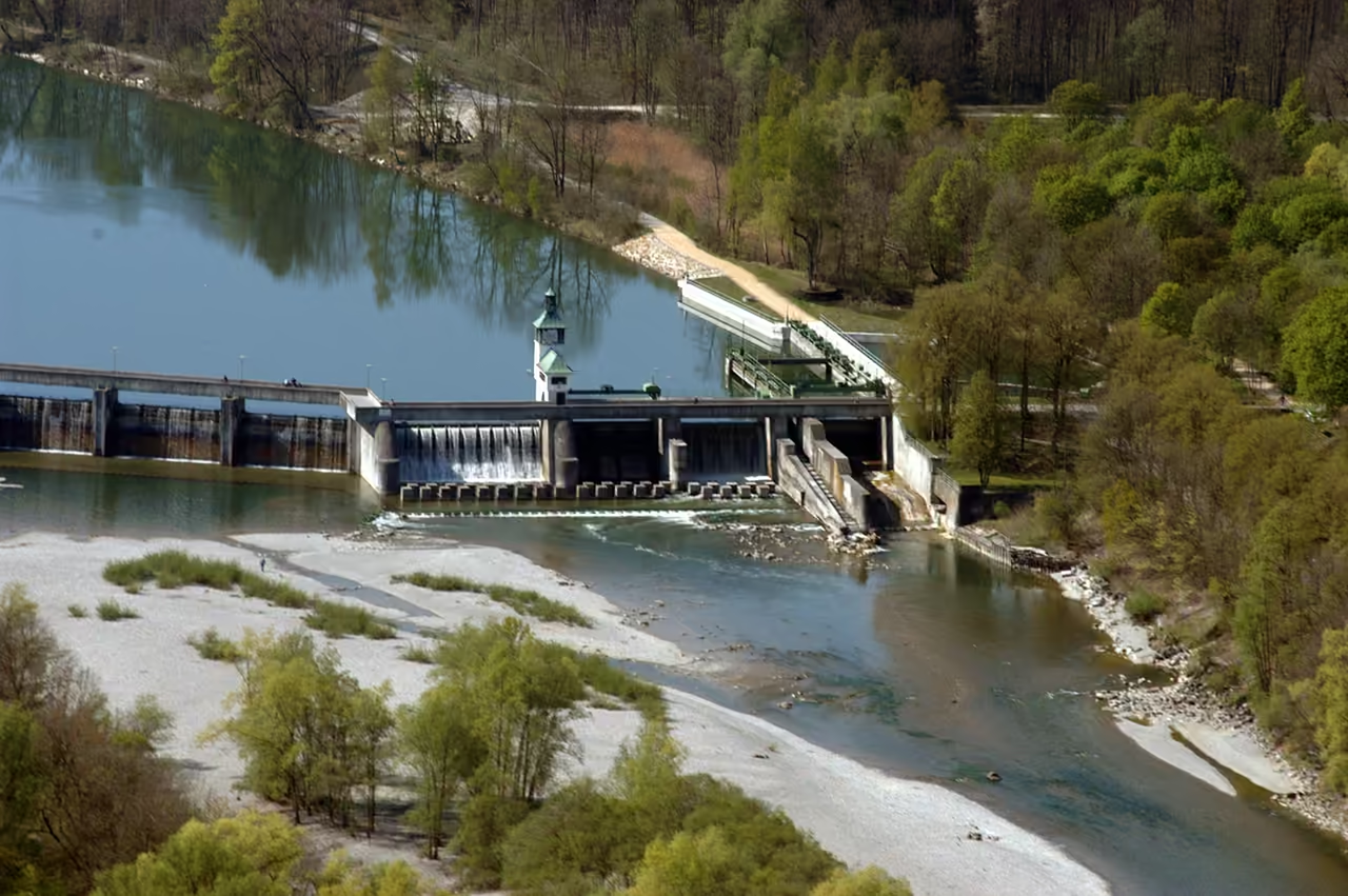
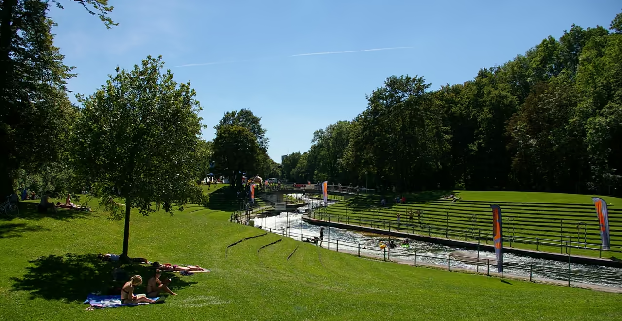
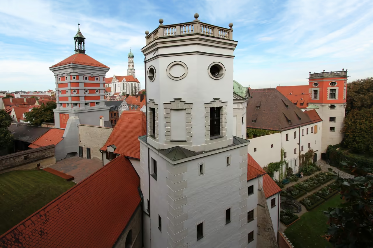
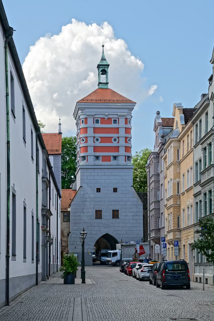
Walk the Lechviertel and a canal is never far away, and the old Stadtmetzg actually sits on top of the Vorderer Lech. That makes a handy first taste of a UNESCO listing built from 22 separate pieces: waterworks with three towers at the Rotes Tor, bronze fountains along Maximilianstraße and Rathausplatz, ten historic power stations and a canoe slalom course from the 1972 Olympics. The pieces are scattered, so the fun lies in picking a thread and following it, perhaps from the fountains to the Welterbe Info-Zentrum on Rathausplatz, or out to the Hochablass weir, where pedestrians can cross the Lech along the top. Some sights are free to wander up to, some open only on a guided tour, and a few are best admired from outside. Together they show Augsburg as a city that spent centuries shaping its rivers to its needs and then kept the evidence in plain view.
Videos
History of Water Management System of Augsburg
Augsburg sits on gravel between two rivers, and that fact explains most of what follows. The Romans pitched a camp here around 15 BC, and the settlement grew into Augusta Vindelicum, capital of the province of Raetia. A pipeline carried water into it over a long distance, yet almost nothing of that system survives, and the Roman baths vanished beneath medieval building. What can still be seen belongs to the last five centuries or so, when the townspeople learned to bend the Lech, the Wertach and the springs of the Stadtwald to their purposes. By 1276 the canals branching off the Lech were already being written into documents, though nobody recorded who dug them first. They drove mills, floated timber, carried waste away and powered the tanneries, dye works and goldsmiths' workshops that kept the city's trades running. The weir at the Hochablass, which sends river water into those canals, is on record from 1346 and was wrecked and rebuilt so often that rebuilding became something of a habit. In 1416 the city opened its first waterworks at the Rotes Tor, and more water towers followed at the Vogeltor and elsewhere, pushing drinking water into town. In 1545 Augsburg set a rule that would later look astonishingly far sighted: drinking water and working water were to be kept strictly apart. Clean water travelled in its own channels from the forest, the Lech canals took everything else, and where the two had to cross, engineers sent one beneath the other. Nobody at the time could explain how dirty water spreads illness. The separation came from careful observation, and hygiene research only caught up with the idea centuries afterwards. Water also became a way of showing off. Between 1594 and 1602 three bronze fountains went up in front of the Town Hall and along the street now called Maximilianstraße, designed by two sculptors who had come from the Netherlands, Hubert Gerhard and Adriaen de Vries. They stood on a dedicated supply line and were meant to be seen, even though they were also working fountains. Just after them, between 1606 and 1609, the city architect Elias Holl built the Stadtmetzg directly over a canal, so that running water kept the butchers' hall cool and carried the waste away. Augsburg's fountain masters acquired a reputation well beyond the city walls. Engineers and scholars travelled to study the machinery, and in 1754 the city's fountain master Caspar Walter published a book called Hydraulica Augustana, which became an early reference for water engineers elsewhere in Europe. Training, drawing and model building turned local know how into something close to an export. The nineteenth century gave the canals a second career. Their current drove the machinery of textile mills and factories, and by the early 1900s the same sites were generating electricity in small power stations along the Lech, Wertach and Singold. Meanwhile the old waterworks were retired. A new works at the Hochablass began supplying the city in 1878, and in 1879 the historic ones at the Rotes Tor, the Vogeltor and the Lower Waterworks were shut down, leaving the towers behind as landmarks. The rivers kept their own timetable. After the Lech flooded in 1910, the weir at the Hochablass was rebuilt in 1911 and 1912, and that is the one standing today. In 1970 the channel next to it, once dug to steer drifting ice away from the waterworks, was rebuilt as a canoe slalom course for the 1972 Summer Olympics, the first artificial whitewater course of its kind. Water engineering had turned, quite unexpectedly, into a sporting venue. Augsburg began its bid for UNESCO status in 2012, and the plan changed on the way: the original title was replaced, the criteria were reshuffled, and inspectors from ICOMOS visited in July 2018. On 6 July 2019 the World Heritage Committee, meeting in Baku, inscribed the Water Management System of Augsburg. Today the Lech still pours over the Hochablass weir, and anyone can walk across its crown with the river dropping away beside them.
18 events spanning 2036 years
Fun Facts
14- 01
Augsburg's early bid named criteria (ii) and (v), then swapped (v) for (iv) and (vi). ICOMOS felt (vi) was not fully justified, so the site was finally inscribed under (ii) and (iv).
- 02
Germany's oldest surviving waterworks and its oldest water tower are both part of the listing, at the Rotes Tor, where original instruction plans and paintings used to explain the technology are still kept.
- 03
Since 2008 the power station at Langweid has housed the Lechmuseum Bayern, one of the few places where a museum is built inside a World Heritage hydropower plant.
- 04
Ten historic hydropower stations belong to the site and several still run. The Meitingen plant still operates with its technology from 1922, and the Wertach power station still uses two generators from 1921.
- 05
The Eiskanal began as a channel for diverting drifting ice away from the waterworks. Next to the Olympic course, two neighbouring Lech canals hold a Jugendkanal for young paddlers and a Babystrecke for beginners.
- 06
The Maximilianmuseum keeps a model chamber with 64 hydraulic models from the 17th to the 19th centuries, and archives hold visitor lists and travel reports of scholars who came to study the works. None of this is part of the listed site, although it did feature in the bid.
- 07
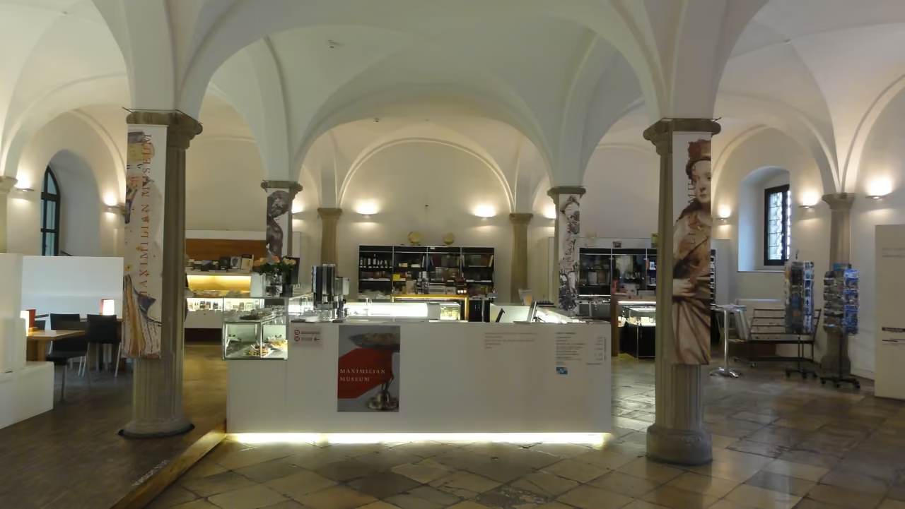
The Mercury and Hercules fountains were first public running fountains. Decorative iron gratings added in the early 1700s turned them into showpieces, and the original bronzes now stand indoors in the Maximilianmuseum while copies stay outside.
- 08
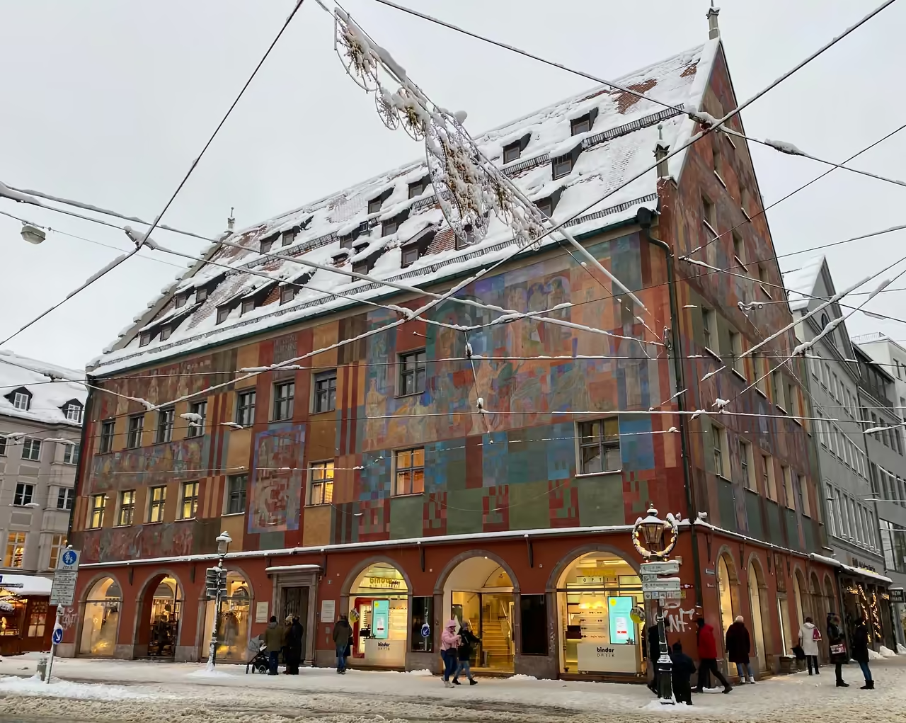
The Stadtmetzg stands above the Vorderer Lech, which runs under cover at that point. The butchers' hall closed in 1930, and the building now houses offices.
- 09
The crown of the Hochablass weir doubles as a footpath over the Lech, and it is the largest weir in and around Augsburg.
- 10
The listing is a chosen collection of 22 separate objects rather than one single working system, and the farthest of them, the power station at Meitingen, lies about 22 kilometres north of the city.
- 11
The power plant on the Singold stood idle from the 1970s until 2006, when it was restored and put back into operation, and its historic turbine is preserved.
- 12
The power station on the Wolfzahnau had a flywheel four metres tall that was exhibited at the 1900 World Fair in Paris, a rare case of an industrial component travelling abroad as a showpiece.
- 13
The pump house of the Lower Waterworks now holds a cinema called Liliom with a restaurant, while its former water tower is a private home.
- 14
The surviving water tower at the Vogeltor, dating from 1776, began its life as a defensive tower before being adapted for water.
FULL PLACE DETAILS
ARCHITECTURE & HERITAGE
- Heritage Status
- World Heritage Site
WEB & AMENITIES
Water Management System of Augsburg Map & Neighborhood Explorer
This interactive map is centered on Water Management System of Augsburg. Zoom in and move the map around to automatically discover Wikipedia photos and summaries of other nearby sights, monuments, and historical points of interest and stories in real-time!
Water Management System of Augsburg FAQ
It is a UNESCO World Heritage Site, inscribed on 6 July 2019, made up of 22 historic objects linked by canals and streams. They include waterworks and water towers, three bronze fountains, a butchers' hall built over a canal, a weir, an Olympic canoe slalom course and ten historic hydropower stations.
The site was recognised under criteria (ii) and (iv) for its technological innovation and for showing how reliable clean water supported the growth of a city from the Middle Ages to the industrial era. Augsburg's early separation of drinking water from working water is one of its standout achievements.
The Welterbe Info-Zentrum on Rathausplatz is a good first stop for an overview. From there the canals of the Lechviertel, the Stadtmetzg and the fountains along Maximilianstraße are all within walking distance in the old town.
Only some. Guided tours are offered at places such as the Wasserwerk am Roten Tor and the Wasserwerk am Hochablass, and the Lechmuseum Bayern is inside the Langweid power station. Many other buildings can only be seen from outside or by special arrangement, so it is best to check the official World Heritage website, Regio Augsburg Tourismus or the Tourist-Information on Rathausplatz.
The three Prachtbrunnen can be visited year round, but in the winter months they are boarded up to protect them from the weather. Two of them can only be approached as far as their railings. The original bronze figures are on display throughout the year in the covered courtyard of the Maximilianmuseum.
The Eiskanal, the Hochablass weir and the old waterworks there are roughly 5 kilometres from the old town, but they sit close together and are easily seen as one trip. Depending on the season and date, you may be able to watch canoe slalom training or competitions on the Olympic course.
Swimming is banned almost everywhere because the currents can be dangerous. Only a few designated spots allow it, so it is best to follow local signs.
Yes. A walk along the Lech, a visit to the Kuhsee or a stroll through the Stadtwald all link naturally with the Hochablass and Eiskanal. An approximately 2 kilometre path through the Stadtwald connects these sites with Augsburg Zoo and the Botanical Garden.
A typical visit takes about 6 hours. We recommend planning your schedule accordingly to make the most of your time there.
The closest place to visit near Water Management System of Augsburg is Roman Museum, around 84 m away. Other things to do near Water Management System of Augsburg include Hercules Fountain (190 m), Maximilian Street Bars (213 m) and Schaezlerpalais (246 m). All of these are within roughly 246 m of Water Management System of Augsburg, close enough to walk.
Water Management System of Augsburg holds the following heritage designation: World Heritage Site.
While we strive to keep this information accurate and up to date, we recommend verifying any details independently before making decisions based on them.
Places near Water Management System of Augsburg
Make the most of your trip. Check out these top-rated spots located nearby.
 84m
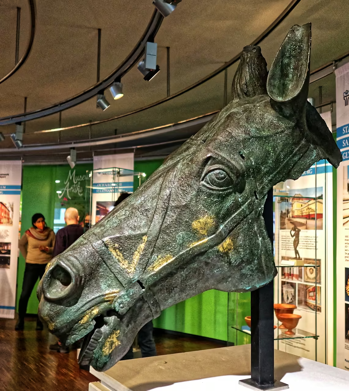
Roman Museum
A highly concentrated collection of artifacts proving the city's deep origins as a brutal Roman military camp. Because the original church housing the museum suffered severe structural issues, the core exhibition temporarily occupies a space in the historic arsenal. You will confront massive stone monuments, heavy bronze military gear, and exceptionally fragile glassware pulled from local excavations. It firmly roots the city in antiquity, long before the famous bankers arrived. The presentation is highly academic but deeply fascinating.
highlight view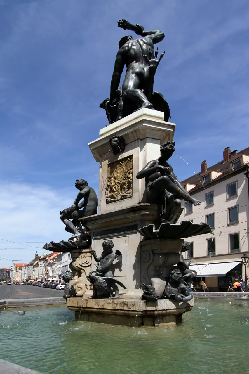 190m
Hercules Fountain
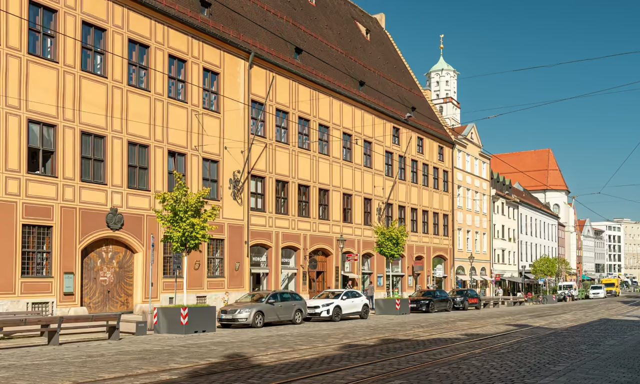
A massive, highly ornate bronze fountain sitting directly in the centre of the city's widest, grandest boulevard. The exceptionally detailed metalwork catches the harsh sunlight brilliantly, while the heavy spray of water adds motion to the frame. Positioning the shot correctly allows you to frame the imposing Renaissance palace facades directly behind the cascading water.
photo spot view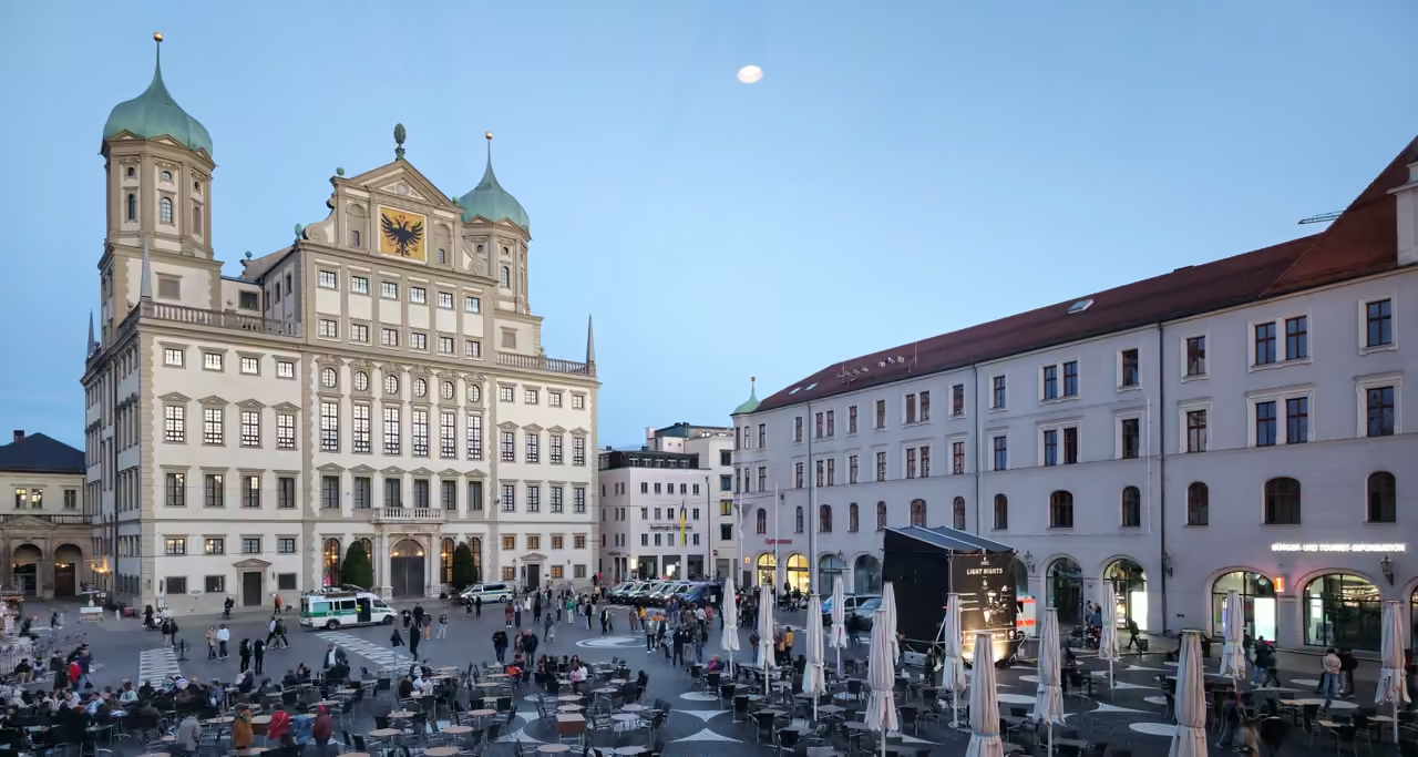 213m
Maximilian Street Bars
The grandest boulevard in the city transforms into a massive, loud party zone as soon as the sun sets. High-end cocktail bars, noisy student pubs, and fast-food kebab shops sit side-by-side beneath ornate Renaissance facades. Throngs of young people spill out onto the wide pavements, holding glasses of beer and shouting over heavy bass beats. The atmosphere gets highly chaotic on weekends, occasionally requiring police presence to manage the sheer volume of revelers. It is the absolute core of the local nocturnal economy.
nightlife view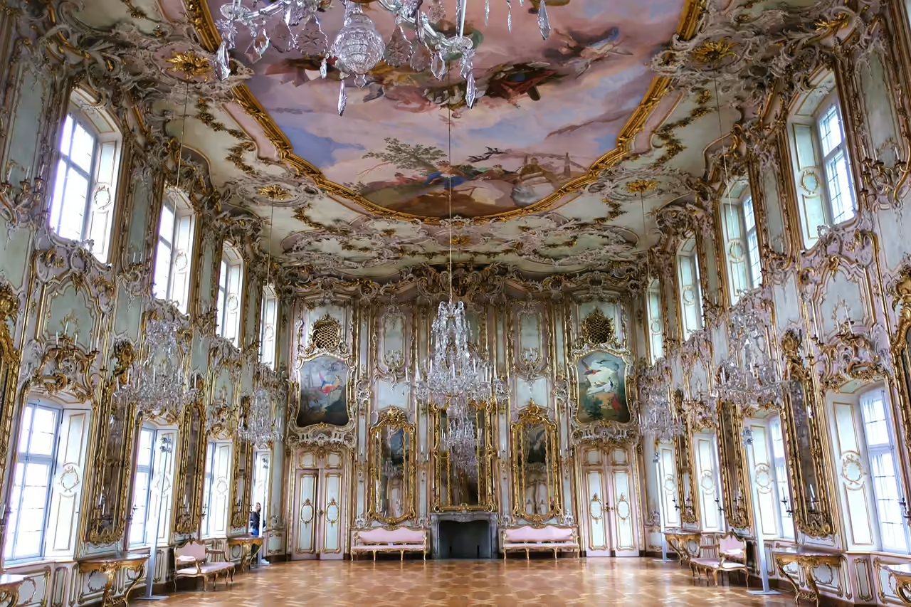 246m
Schaezlerpalais
Step into Augsburg's Schaezlerpalais and feel the opulent grandeur of a bygone era, where every hall whispers tales of aristocratic life and celebrated art. This magnificent Rococo palace, once home to powerful bankers, now showcases an extraordinary collection of South German Baroque painting and masterpieces by European greats like Veronese and Canaletto. Imagine the youthful Marie Antoinette gracing its dazzling Festsaal, dancing across its polished floors during her journey to Versailles. Visiting here is a truly worthwhile experience, offering a vivid immersion into history, high society, and unparalleled artistic beauty, all within a setting that feels both grand and intimately preserved.
attraction view
Featured on These Itineraries and Routes
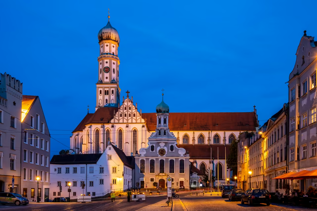
3 Days in Augsburg
A well-paced exploration that successfully balances the aggressive architectural grandeur of the centre with the deep natural elements surrounding it. You will dedicate time to highly ornate art collections before retreating into the heavy shade of the urban forests. It allows you to actually understand the historical water systems rather than just glancing at a canal.
view itinerary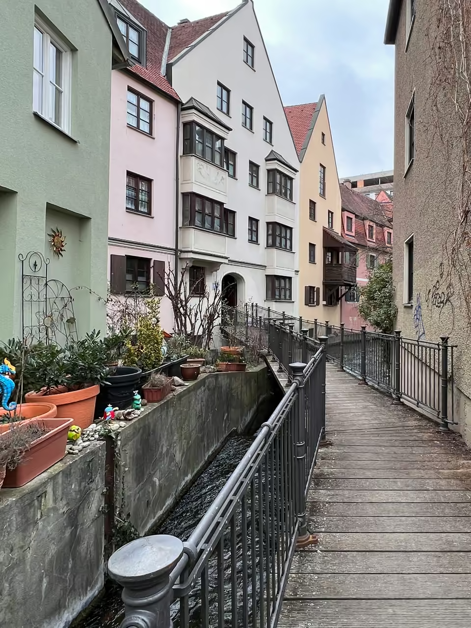
5 Days in Augsburg
A deeply comprehensive, highly exhaustive deep dive into every facet of the city's complex identity. You will transition from Roman foundations to massive industrial machinery, tracking the complete evolution of a major European powerhouse. It prevents museum fatigue by heavily incorporating long stretches of nature and unscripted time in eccentric local pubs.
view itinerary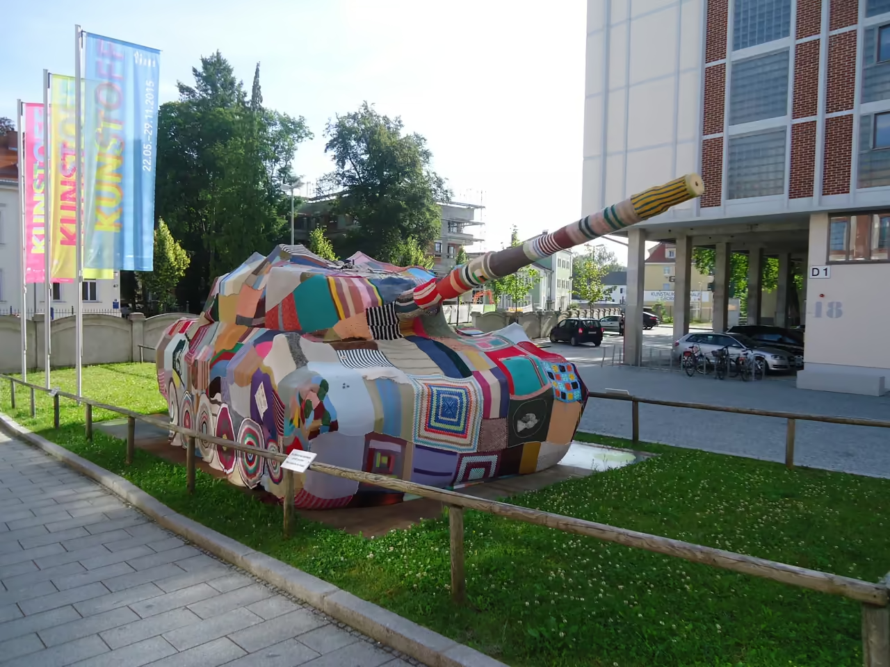
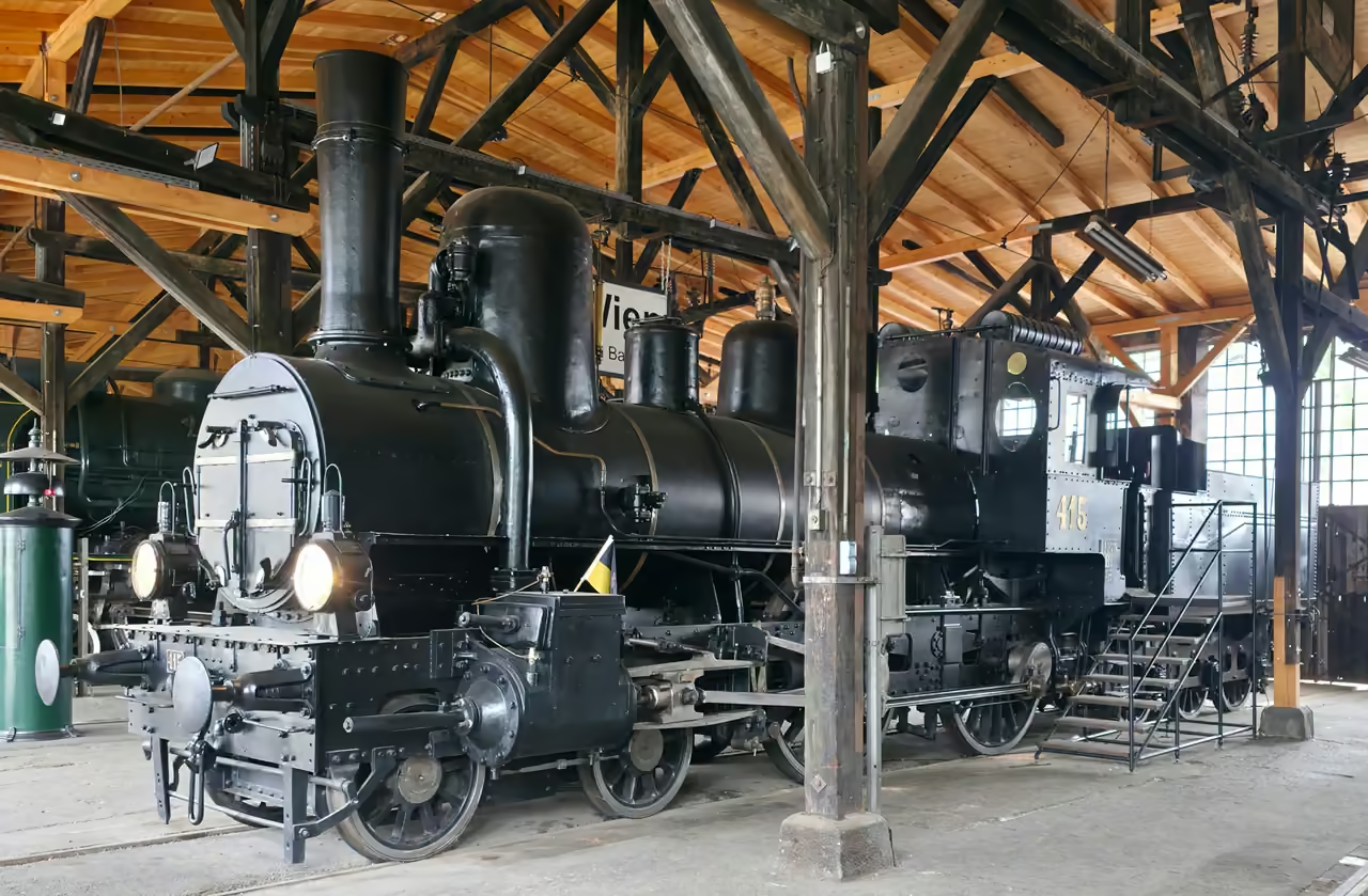
Industrial Heritage Trail
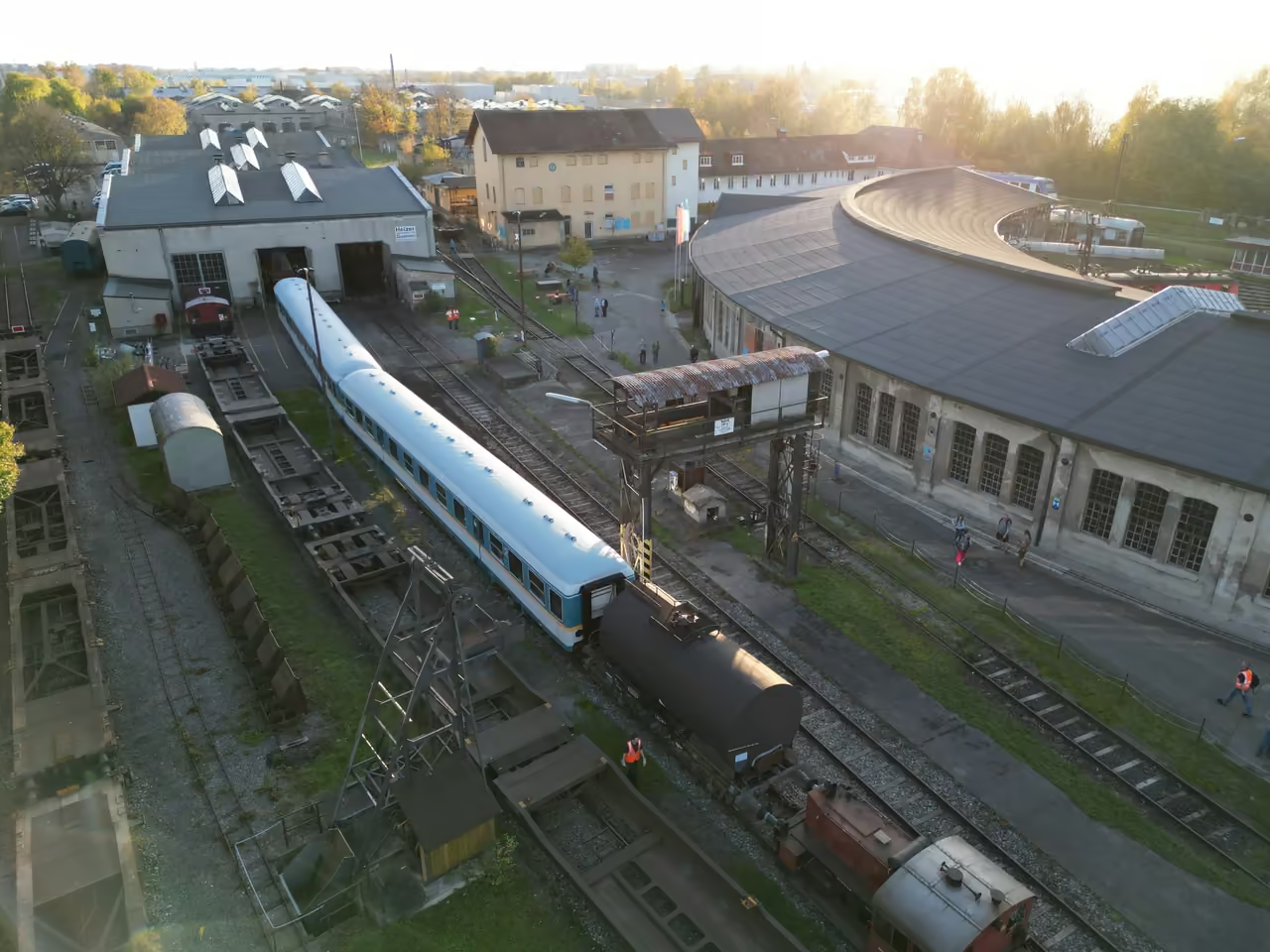
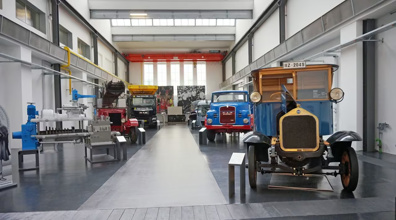
A fascinating, gritty route that tracks the city's historical obsession with water power and heavy manufacturing. You ride past brutal brick factories, complex weir systems, and massive, silent smokestacks. It requires navigating some light urban traffic, but heavily rewards you with a deep understanding of the city's economic engine. The canals dictate the exact shape of the route.
view cycling route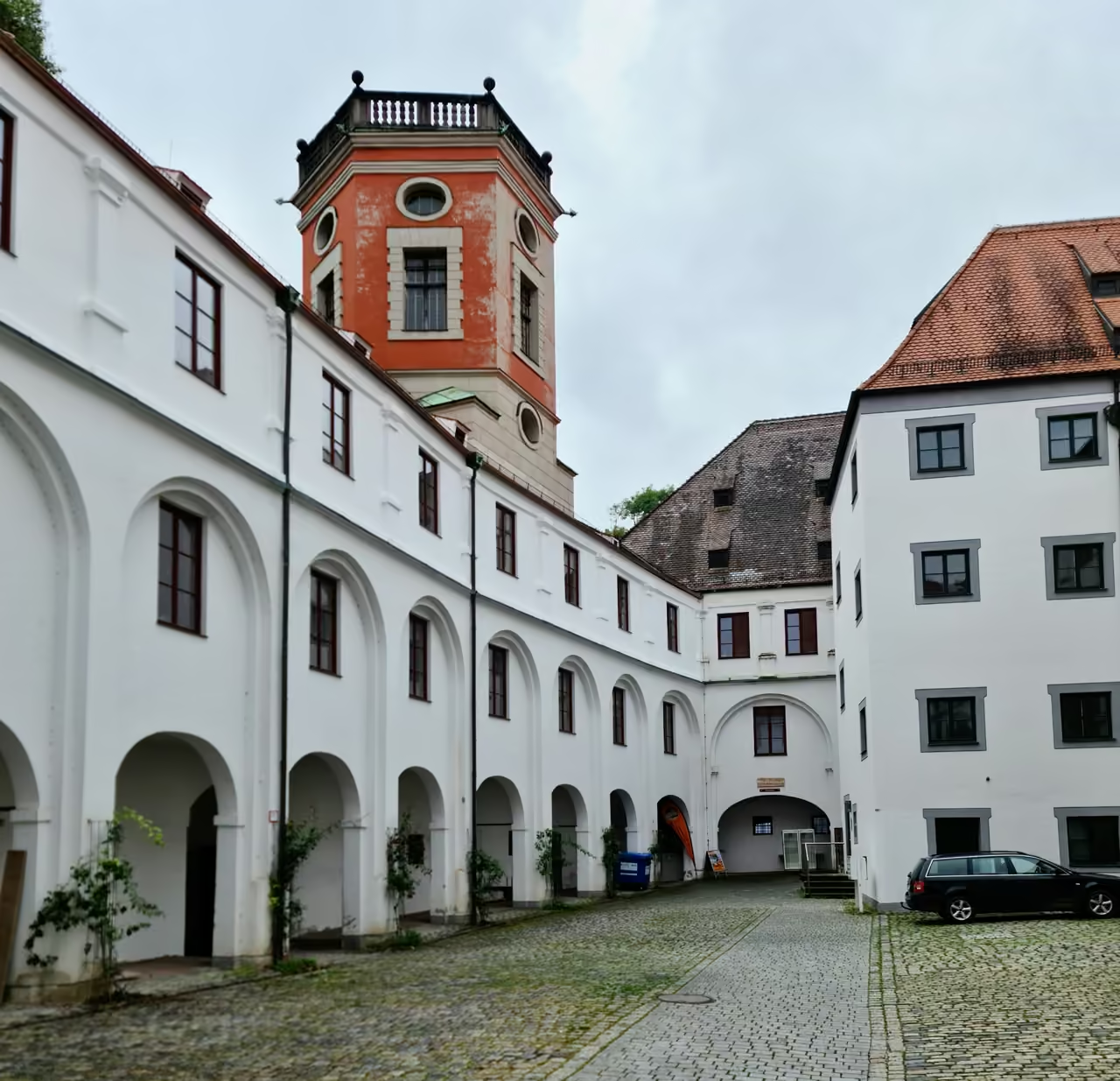
UNESCO Water Canals Walk
A slow, highly atmospheric wander that traces the intricate network of mediaeval canals slicing through the lower old town. You cross dozens of tiny, low bridges and pass heavy waterwheels still churning in the current. The sound of rushing water completely drowns out the noise of nearby cars. It feels remarkably secretive, as the paths often narrow to just a few feet wide between tall, leaning houses.
view walking route