River Lech
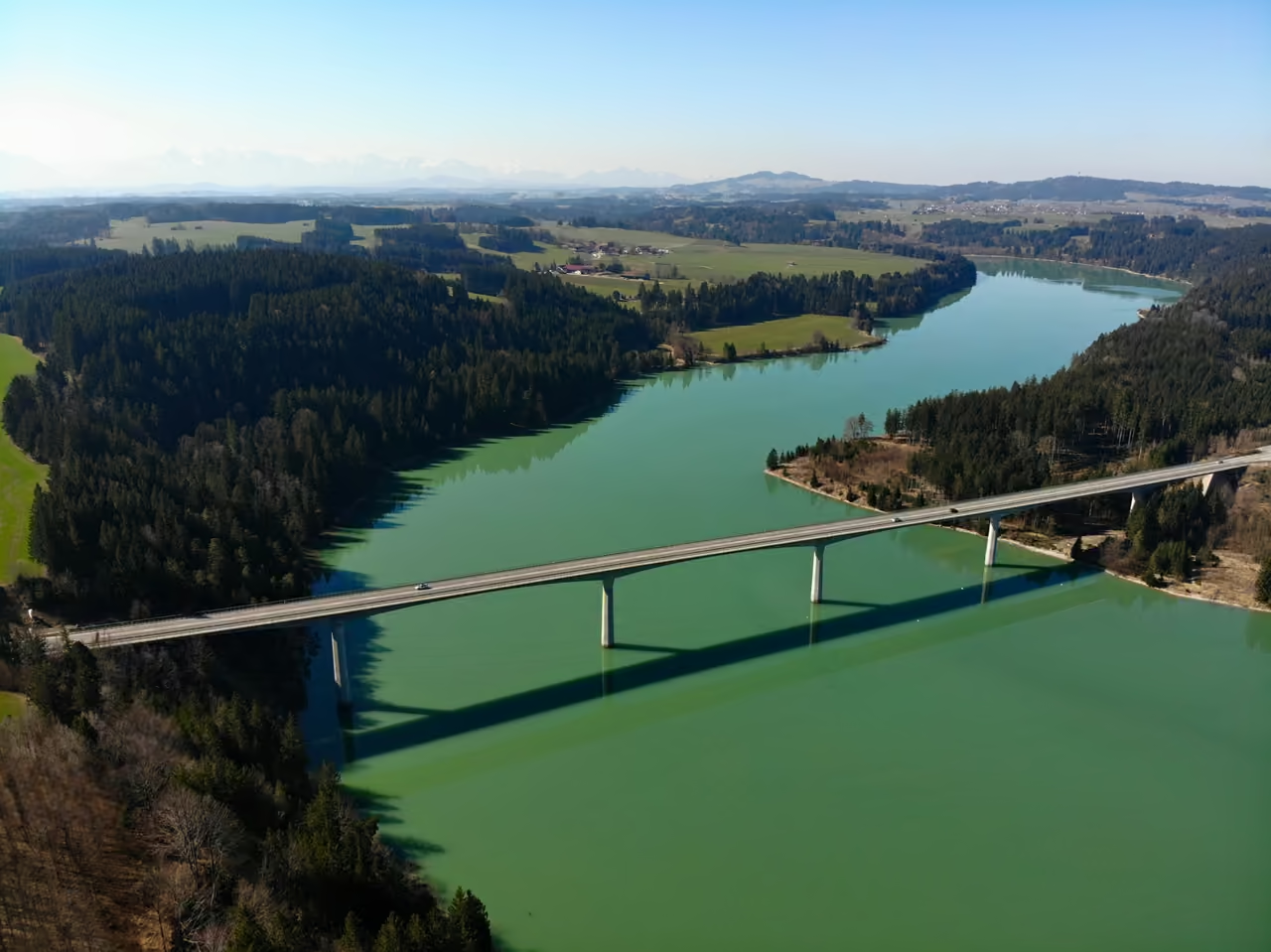
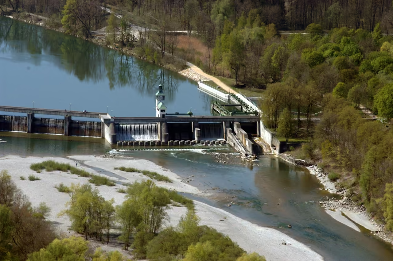
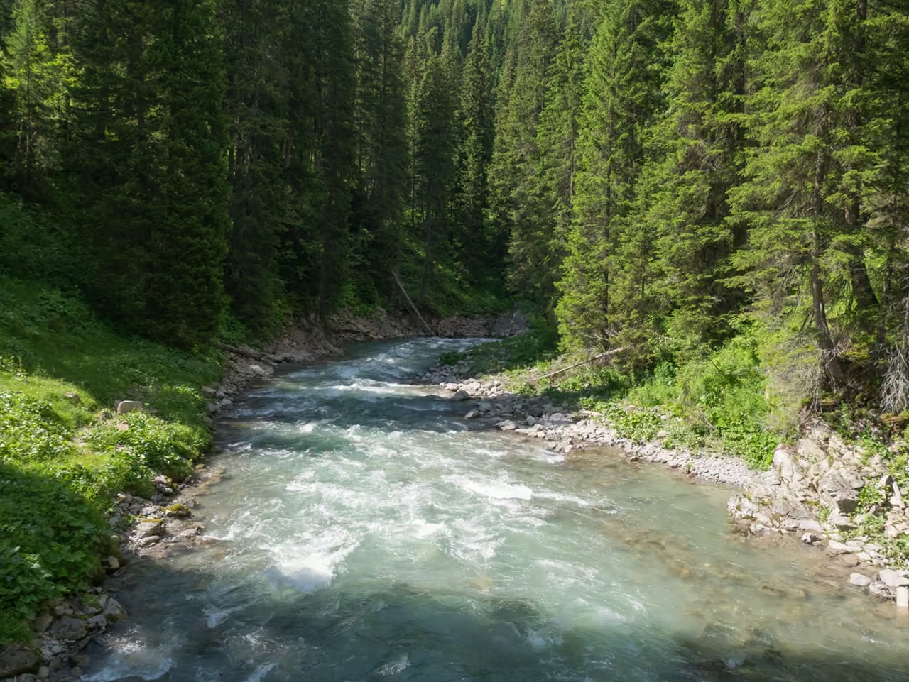
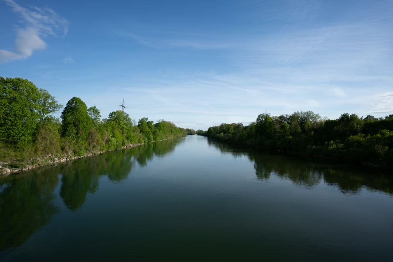
The Lech starts as snowmelt near the Formarinsee in Vorarlberg and covers 256 kilometres before it joins the Danube at Marxheim, changing character more often than most rivers manage in twice the distance. In Tyrol it still braids across wide gravel bars like a river from another century, while around Augsburg it is split into weirs, canals and a 1972 Olympic slalom course. The water runs a clear blue green thanks to dissolved limestone, and at about 14°C in summer it keeps most swimmers to a quick paddle. Walkers can follow the Lechweg through the upper valley, and cyclists can ride almost the full length on the Lechradweg, opened in 2022. Even the name remains a friendly argument among scholars, who read it as 'the stony one', 'the bent one' or 'the moistener of the land'. In Augsburg the best place to watch it is the Hochablass weir, where the river divides and the old raft harbour still sits on the west bank.
Videos
History of River Lech
The Lech has not always run where it does now. Early in the Ice Age it swung north east towards the Danube at a sharp angle, much as the Isar and Inn still do further east, and the Iller once cut across what is today the Lech's course below Augsburg. After the Lech found a straighter way north near Schongau, the Danube itself ran differently for a long stretch, turning north from the Lech's mouth through the Wellheim dry valley and down the line of today's lower Altmühl, until a breakthrough near Stepperg, towards the end of the Riss glaciation, gave it the southern course it follows now. Inscriptions from 8 and 7 BC record a Celtic people called the Licates, and in the second century Ptolemy wrote of a river called Likios. By then the valley belonged to the Roman province of Raetia, and the road that mattered was the Via Claudia Augusta, which ran from Augusta Vindelicum, today's Augsburg, towards Rome. Around 570 the poet Venantius Fortunatus wrote the name as Licca, and by the eighth century people were saying Lech. As Roman rule faded, the river became a frontier between the Alemannic tribes to the west and the Bavarians to the east, and that old line still shows in dialect and in village names, with ing on one side and ingen on the other. On 10 August 955 the river lent its name to one of the best known battles of medieval Europe, when King Otto I and Bishop Ulrich of Augsburg defeated the Hungarian horsemen on the Lechfeld and brought the raids across Central Europe to an end. Later the Wittelsbach dukes of Bavaria governed the western edge of their lands from border towns such as Landsberg and Friedberg, which collected generous ducal privileges and a good deal of prosperity. Friedberg also kept getting caught in quarrels with wealthy Augsburg, a free imperial city on the other bank of the argument. The sharpest dispute was about water. Augsburg's right to divert the Lech at the Hochablass was contested for centuries, and between 1457 and 1596 the argument grew into what people called a water war. In April 1632, during the Thirty Years War, a Swedish army under King Gustav II Adolf reached the Lech near Rain, with Ingolstadt next on its list. Count Tilly tried to hold the crossing with a smaller Bavarian force. After two days of cannon fire across the water the Swedes found a place to cross a little further south, Tilly was fatally wounded in the fighting, and the Bavarians withdrew to Ingolstadt, which Gustav Adolf nevertheless never managed to take. For most of its history the Lech was a working river. Gold was washed from its gravel, though never in amounts that mattered, and timber from the Alps was floated down in great quantities. Rafts carried goods as well as logs, and by the middle of the nineteenth century several thousand of them left the main harbours each year, among them Reutte, Füssen, Landsberg and Augsburg. Early weirs, including the Hochablass, were built with special gaps so that rafts could still get through. In Augsburg the diverted water turned mill wheels and later helped the textile industry take off. Upstream, a stepped weir begun in 1784 created the Lechfall at Füssen, and in 1910 a flood badly damaged the Hochablass itself, which had to be blown up to prevent worse damage downstream. The twentieth century turned the river into a staircase. The canal power station at Gersthofen opened in 1901, the first weir across the main river followed around 1914, and the construction of the Forggensee in the 1950s produced Germany's largest reservoir by surface area. Today the German stretch carries around 30 power stations and 24 reservoirs. The price was paid in gravel and fish. With floods held back and weirs blocking the way upstream, gravel banks silted up, floodplain forests were cut off from the water, and fish that depend on gravel for spawning declined sharply. Below Augsburg the river was also heavily polluted until the 1970s, because sewage ran untreated into the canal system, and only a modern treatment works that removes 99 per cent of the load brought it back to a reasonable quality. Much of the more recent story is about giving something back. In Tyrol, citizens' groups helped stop several power station projects, and the valley was designated a nature park at the end of 2004, although a national park never came to pass. Dams have been partly dismantled so that gravel can move again, the Lebensraum Lechtal project has worked since 1998 to link habitats along the river, and the Lechweg and Lechradweg have made the whole length walkable and rideable. The Lech today is both a hydroelectric workhorse and one of the last Alpine rivers that still behaves like a wild one in places.
23 events spanning 132022 years
Fun Facts
16- 01
A regional lamb label from the Lech valley was created to support traditional shepherding on the river's heath lands as part of the Lebensraum Lechtal project.
- 02
Bavaria's first rack railway ran in Kinsau between 1907 and 1929. It carried cellulose from a paper mill at the site of today's Lech weir 8a down to the station on the Fuchstal line.
- 03
Between Warth and Füssen the Lech counts as one of the last wild rivers of the Alps, and it has been nicknamed the 'Tagliamento of the North' after the Italian river that is the best known example of an Alpine wild river.
- 04
Gold was once washed from the Lech's riverbed gravels, but the quantities were never large enough to matter economically.
- 05
In 1632 Count Tilly tried to stop the Swedes at the Lech near Rain. After two days of artillery fire the Swedes crossed slightly to the south, and Tilly was struck by a falconet ball, dying on 30 April in Ingolstadt. The Swedes never managed to capture the city.
- 06
In 1910 the Hochablass weir in Augsburg broke during a catastrophic flood and was blown up deliberately to prevent worse damage. The weir was rebuilt, and part of the old raft harbour on the west side can still be seen there.
- 07
The B16 is both the first and the last road in Germany that the Lech flows under.
- 08
The Forggensee can store up to 168 million cubic metres of water, making it the largest of the Lech's reservoirs, and it lies below the castles of Hohenschwangau and Neuschwanstein. The Lech's heavy load of gravel has already reduced its storage capacity.
- 09
The Lech's blue green colour was explained in the nineteenth century by the scientist John Tyndall, who showed that colour comes from what a river carries rather than from the water itself. In the Lech, dissolved and suspended minerals from limestone and dolomite push the colour towards green.
- 10
The Lechrainer dialect is a hybrid of Swabian and Bavarian, and it is strongest in the villages beside the river. Kirche becomes 'Kurcha', Wirt becomes 'Wurt' and ziehen becomes 'ziacha', and the dialect fades within a few kilometres of the river as one moves east.
- 11
The Lechtalbrücke near Schongau is only around 600 metres long, yet it is the single crossing of the Lech by the B17 road, which otherwise runs beside the river for much of its length. It counts as one of the longest bridges in Bavaria.
- 12
The Pentecost flood of 1999 took the Lech at Augsburg above 1,500 cubic metres per second at times, while its long term average is about 114.
- 13
The barrier on the Hornbach was built in the early 1960s and held back hundreds of thousands of cubic metres of gravel. After two phases of partial removal in 2003 and 2005, more than 100,000 cubic metres moved down to the Lech and raised the riverbed by several metres.
- 14
The same limestone makes the water inhospitable to plankton, and with temperatures of about 14°C in summer and 1°C in winter, very few algae can grow. That is a large part of why the Lech looks so clear.
- 15
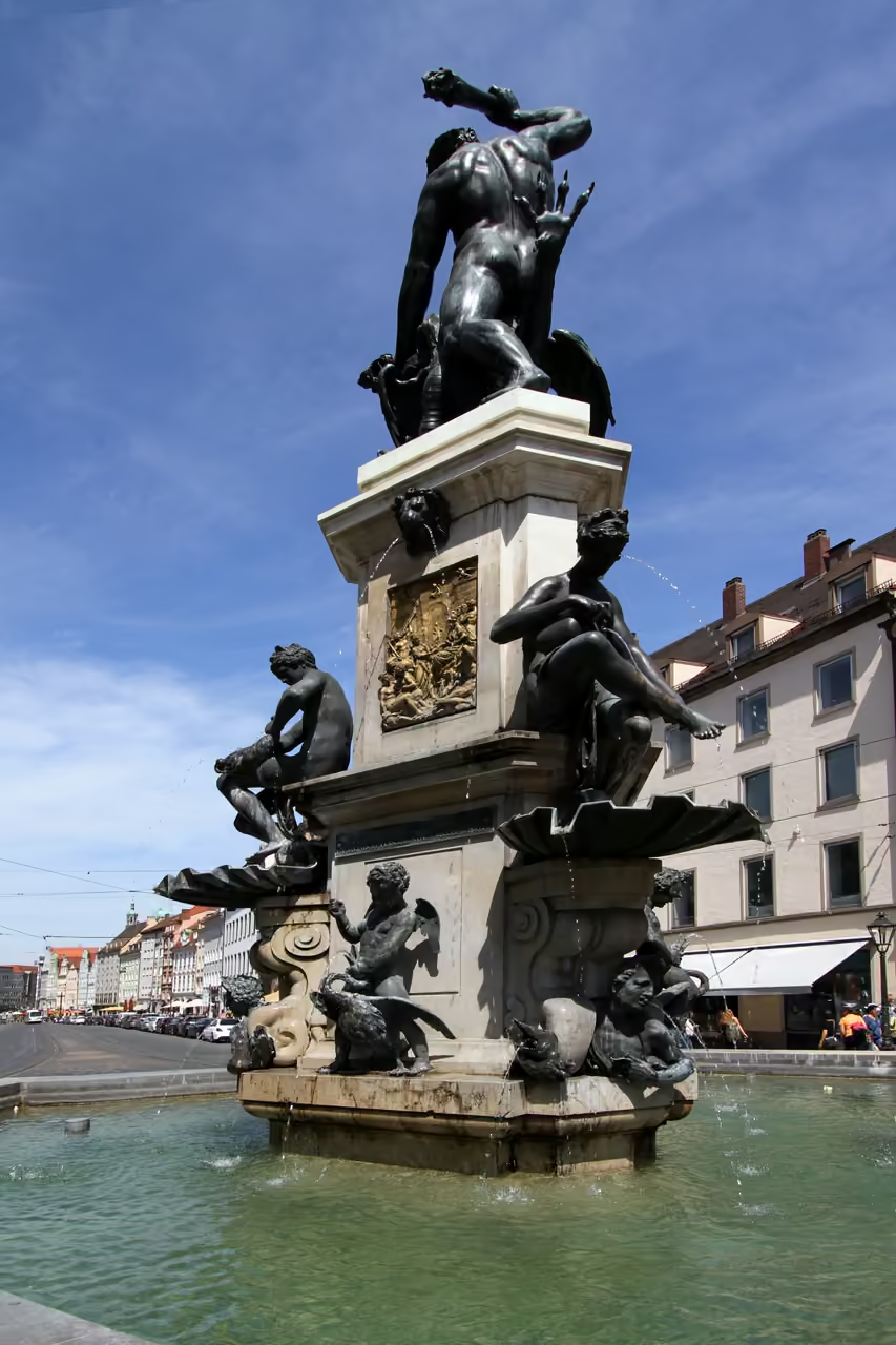
The wolf pelt worn by the river god Lech on Augsburg's Augustus Fountain comes from a mistake. Humanists of the sixteenth century believed the Latin name derived from the Greek lykos, meaning wolf or wild, and the false derivation survived into the nineteenth century. The place name Wolfzahnau, where the Lech and Wertach meet, is explained in the same way.
- 16
When the A8 motorway bridge at Gersthofen was being rebuilt in August 2005, a flood undermined a temporary foundation and the new structure tilted towards the river. The motorway was closed for over a day, repairs lasted until December and the bridge was not finished until the end of 2007.
FULL PLACE DETAILS
OVERVIEW & STATS
- Elevation
- 400 m
River Lech Map & Neighborhood Explorer
This interactive map is centered on River Lech. Zoom in and move the map around to automatically discover Wikipedia photos and summaries of other nearby sights, monuments, and historical points of interest and stories in real-time!
River Lech FAQ
The Lech is about 256 kilometres long, according to the Bavarian water authorities, although other sources give figures between 248 and 285 kilometres. It rises in the Lechquellengebirge in Vorarlberg, where two source streams, the Formarinbach and the Spullerbach, meet near the Formarinsee. It then flows through Tyrol and Bavaria before joining the Danube at Marxheim, at an altitude of 392 metres.
The colour comes from the minerals the river carries rather than from the water itself. Lime rich rock in the Alps, particularly dolomite, adds dissolved and suspended material that tints the water green, and cold temperatures keep algae to a minimum, so it stays clear. In flood the water turns murky brown, and below the confluence with the Wertach in Augsburg the Wertach's greenish brown water briefly dominates.
Yes. The Lechweg is a trail of a little over 120 kilometres and 16 stages from the Formarinsee to the Lechfall near Füssen, and walking it usually takes between six and eight days. It is generally open from May to October, but the two stages between the Formarinsee and Warth only open from the start of the season in Lech am Arlberg, usually around 20 June. The Lechradweg, opened in 2022, runs for about 245 kilometres between Marxheim and Steeg in Tyrol.
Rafting is offered on the upper Lech between Steeg and Weißenbach, and small boats and canoes can be used on some stretches in the Alpine region. The water is very cold, around 14°C in summer, so swimming tends to be brief. Gravel banks are popular for sunbathing at low water, but visitors are encouraged to keep their distance from nesting areas because ground nesting birds are easily disturbed. The river is not navigable for ships along its length.
The Hochablass is the weir in Augsburg where part of the Lech's water is diverted into the city's canal system. It was at the centre of the centuries old argument over Augsburg's water rights and was seriously damaged in the flood of 1910. The old raft harbour on its west side can still be recognised, and the water that leaves here also feeds the Eiskanal, the course used for the 1972 Olympic canoe slalom.
For centuries the Lech separated Alemannic Swabia on its west bank from Bavaria on the east, and it still roughly marks the line between Swabian and Bavarian dialects. A special mixed dialect, Lechrainer, developed along the river and the surrounding area is still seen as a distinct region, the Lechrain. Many local clubs and companies still carry the name.
In Tyrol the Naturpark Tiroler Lech protects a wild river with broad gravel banks. Further downstream there are protected areas such as the Litzauer Schleife near Steingaden, the heathlands called the Lechtalheiden between Landsberg and Augsburg and the Augsburg city forest. Typical fish in the river include the nase, huchen, grayling and bullhead, though their numbers fell sharply after the river was dammed.
The Lechmuseum Bayern, which opened in 2008, tells the story of the Lech as a natural landscape, an economic resource and a stage for history, including the development of hydropower and the Lechwerke. In Augsburg, the canals, the Hochablass and the Wolfzahnau are the best places to see the river's working past, and many information boards along the Lechweg and Lechradweg explain the ecology.
The closest place to visit near River Lech is Siebentisch Forest, around 2.6 km away. Other things to do near River Lech include Olympic Whitewater Course (3.5 km), Augsburg Zoo (4.2 km) and Augsburg Botanical Garden (4.4 km). All of these are within roughly 4.4 km of River Lech.
While we strive to keep this information accurate and up to date, we recommend verifying any details independently before making decisions based on them.
Places near River Lech
Make the most of your trip. Check out these top-rated spots located nearby.
 2649m
Siebentisch Forest
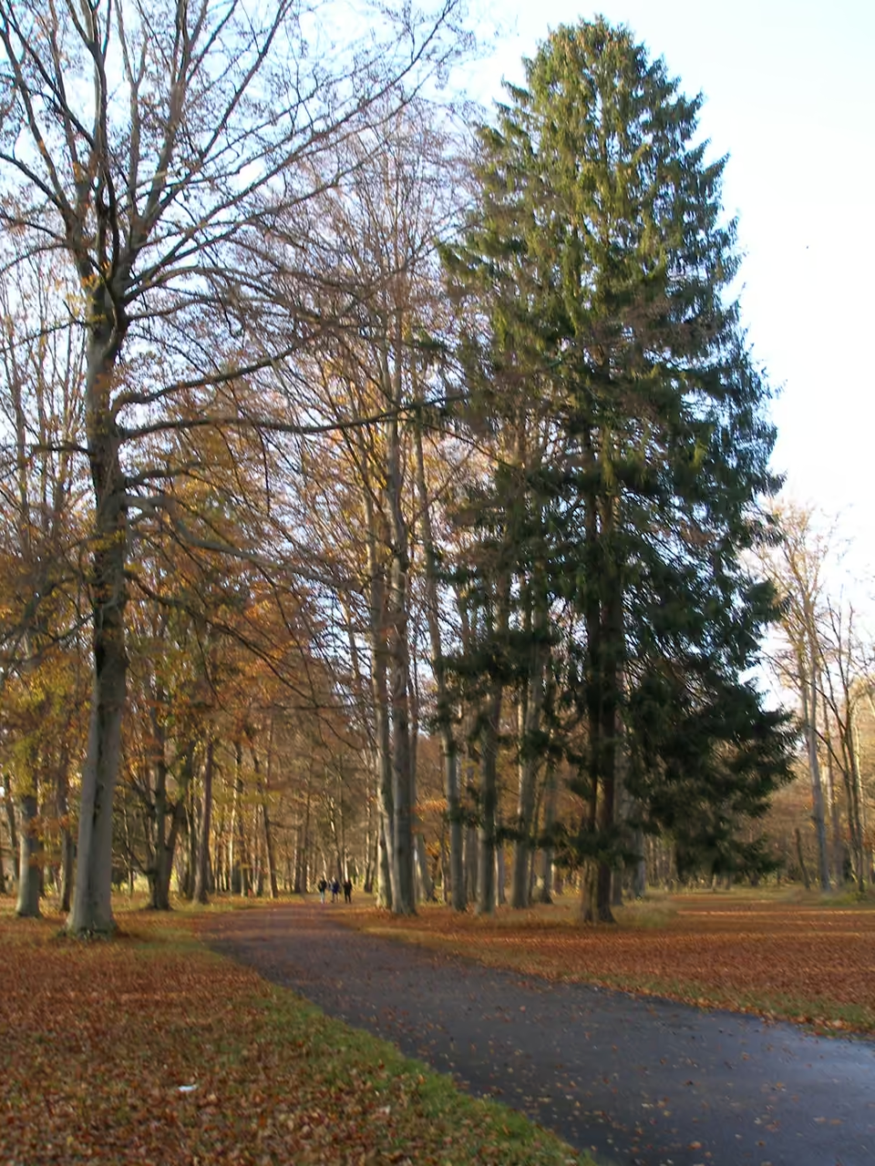
Escape into the lush expanse of Siebentisch Forest, Augsburg's expansive green lung, where nature and history intertwine. This sprawling woodland, covering 660 hectares, is not just a beloved recreational haven for locals and visitors alike, but also a crucial source of the city's pristine drinking water. Wander along its winding paths, discover the tranquil Stempflesee, or simply soak in the serene atmosphere that has captivated generations. The forest holds an intriguing past, from the origin of its unique name, linked to a historic guesthouse, to its role in shaping Augsburg's environmental consciousness. It's a place where you can truly connect with the natural world right on the city's doorstep.
park & nature view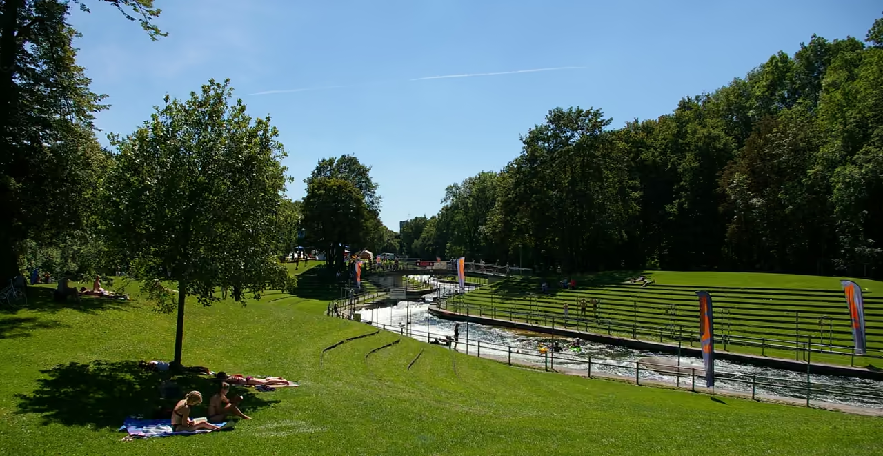 3456m
Olympic Whitewater Course
A violent, artificial river carved out of concrete specifically for the 1972 Munich Olympic Games. It holds the title of the absolute first highly controlled artificial whitewater slalom course in the world. Even when no competitions are running, the sheer volume and speed of the turquoise water are deeply hypnotic to watch. Local professionals and aggressive amateurs frequently battle the fierce drops and eddies here. You can walk the steep grassy banks and stand literally inches away from the rushing current.
highlight view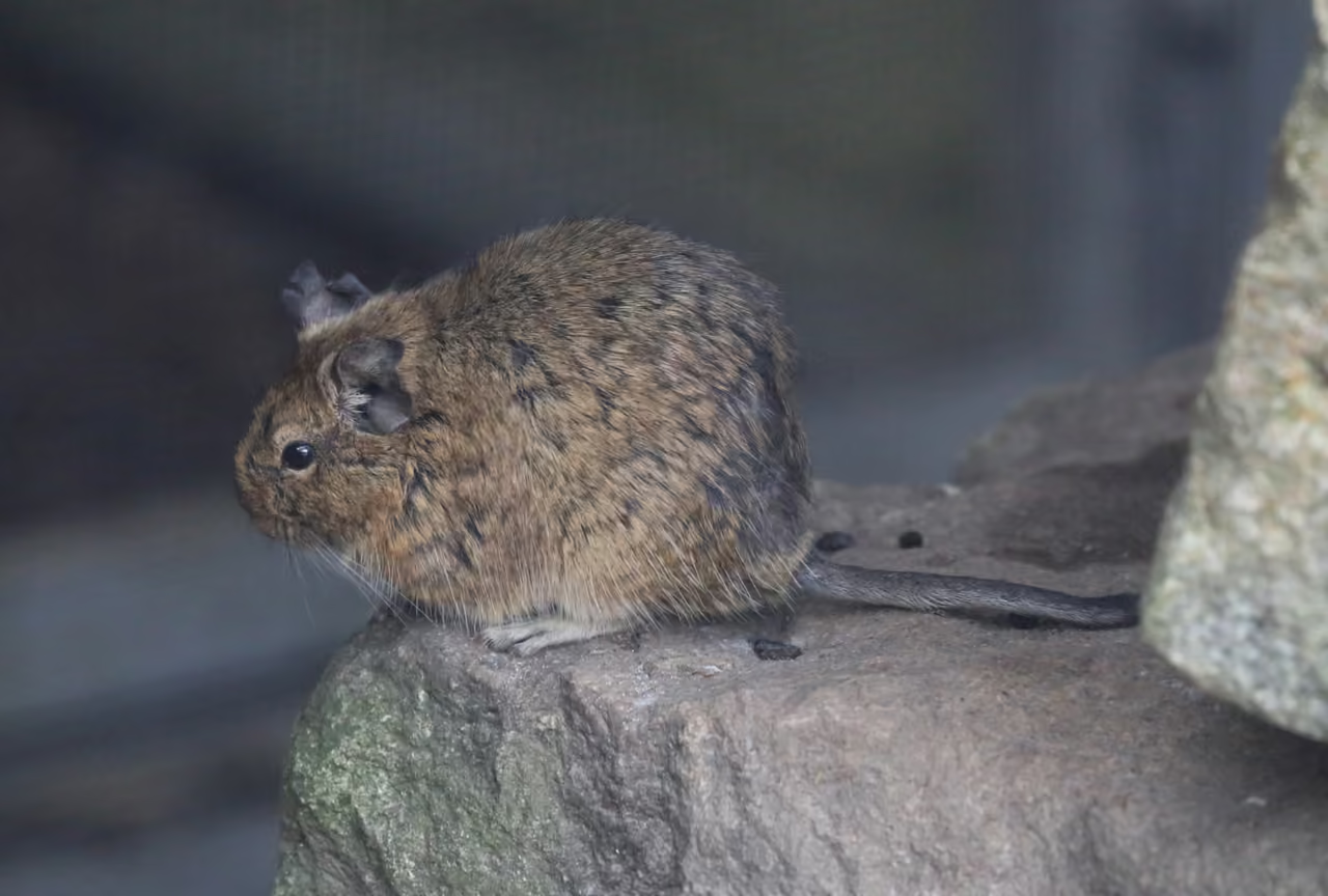 4167m
Augsburg Zoo
Step into the wild heart of Augsburg at its fantastic zoo, a sprawling 22-hectare green oasis nestled alongside the Siebentischwald. It's not just a collection of animals; it's a vibrant hub for global conservation, actively nurturing endangered species through European breeding programmes. Wander through diverse habitats, from the sprawling Africa Panorama where giraffes and rhinos roam, to the immersive Lechhaus showcasing local aquatic life like beavers and otters. This zoo beautifully balances entertainment with education, offering engaging encounters and insights into the animal kingdom, making it a compelling visit for animal lovers of all ages looking for adventure. You'll find a delightful blend of playful moments, such as the captivating seal feedings, and profound connections with wildlife, all set within a beautifully maintained, family-friendly environment.
park & nature view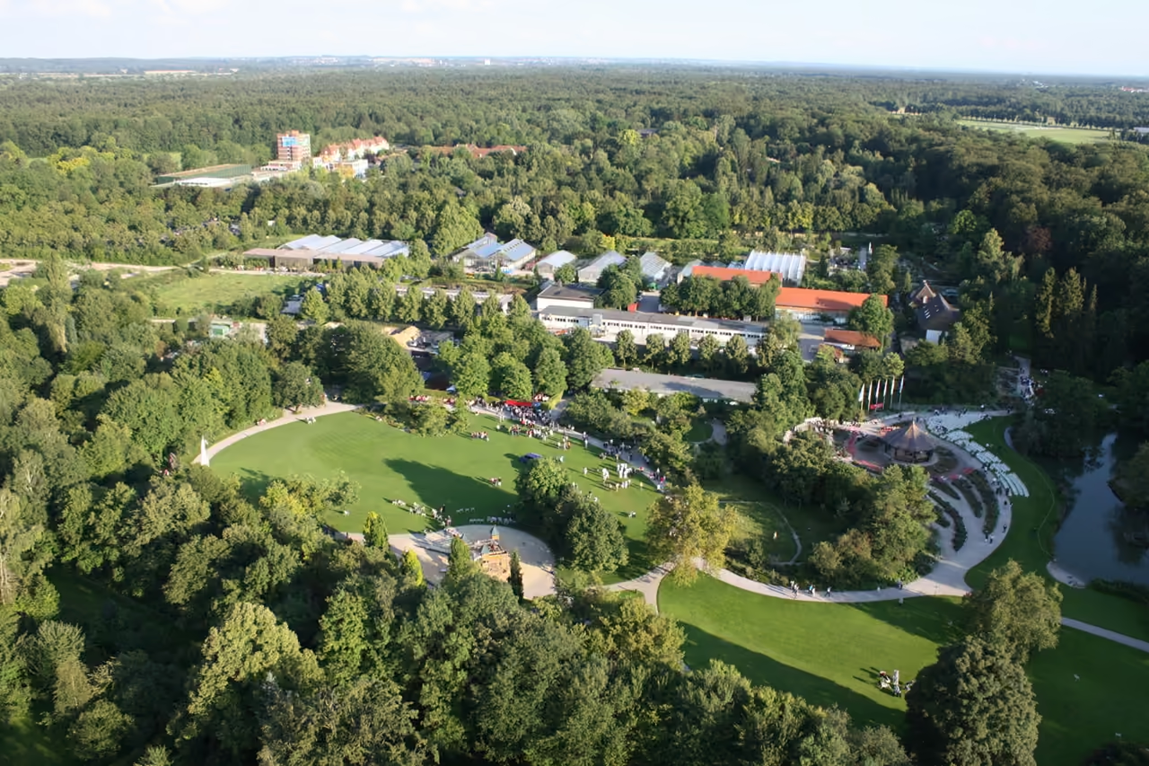 4447m
Augsburg Botanical Garden
More than a million bulbs push up through the beds here each spring, and the tulips are only the opening act. Across about ten hectares beside the Siebentischwald, a Kyoto inspired pond garden sits on 400 tonnes of Fichtelgebirge granite, while the glasshouse grows cocoa, vanilla and cinnamon in tropical humidity. Roses fill the beds around a small music pavilion, and a tiny apothecary garden labels what each herb has traditionally been used for. Between late February and early April tropical butterflies flutter loose in the old Victoria regia house, and in the weeks before Christmas an oriental landscape nativity takes over its lily pool. Only the Dr. Ziegenspeck path separates the garden from Augsburg Zoo next door.
park & nature view
Explore Similar Places in These Collections
Featured on These Itineraries and Routes
5 Days in Augsburg
A deeply comprehensive, highly exhaustive deep dive into every facet of the city's complex identity. You will transition from Roman foundations to massive industrial machinery, tracking the complete evolution of a major European powerhouse. It prevents museum fatigue by heavily incorporating long stretches of nature and unscripted time in eccentric local pubs.
view itinerary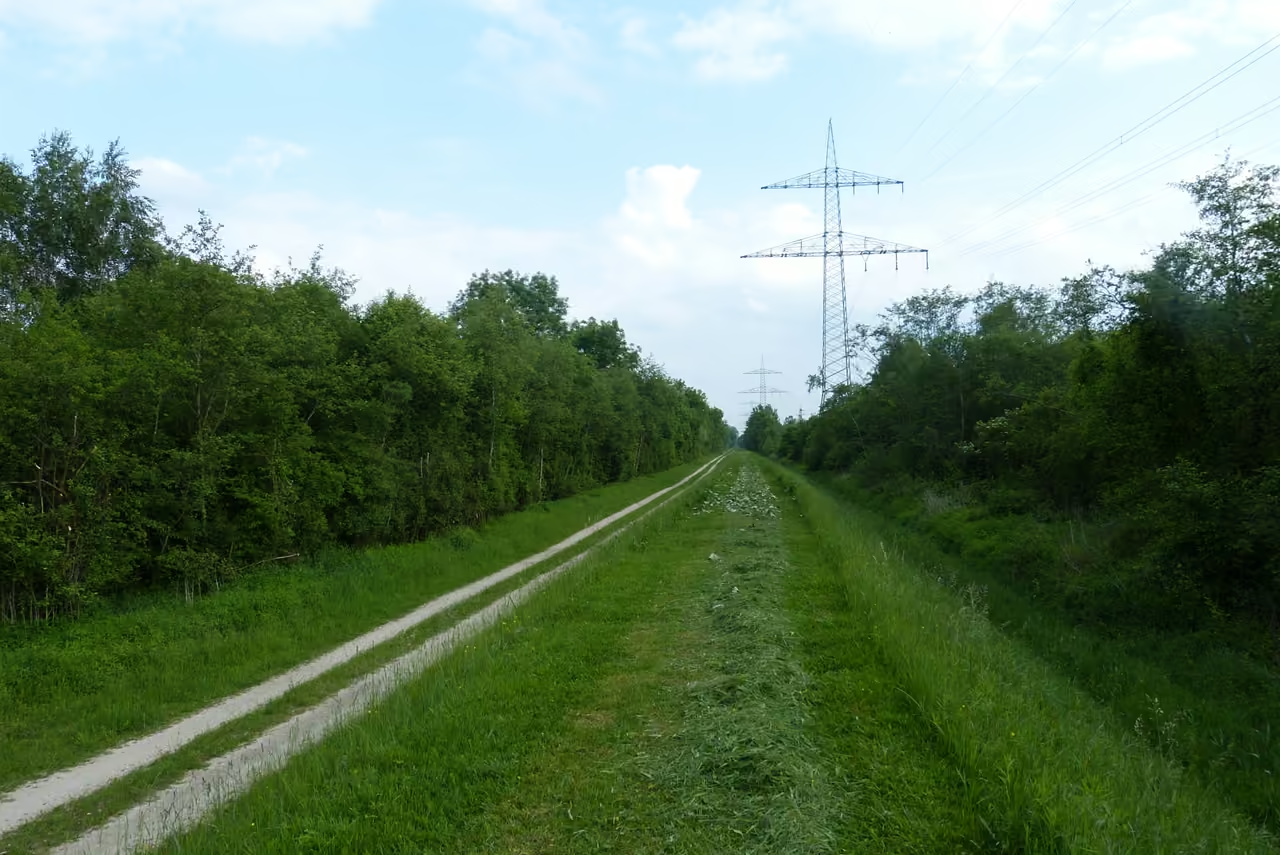
Lake Mandicho Excursion
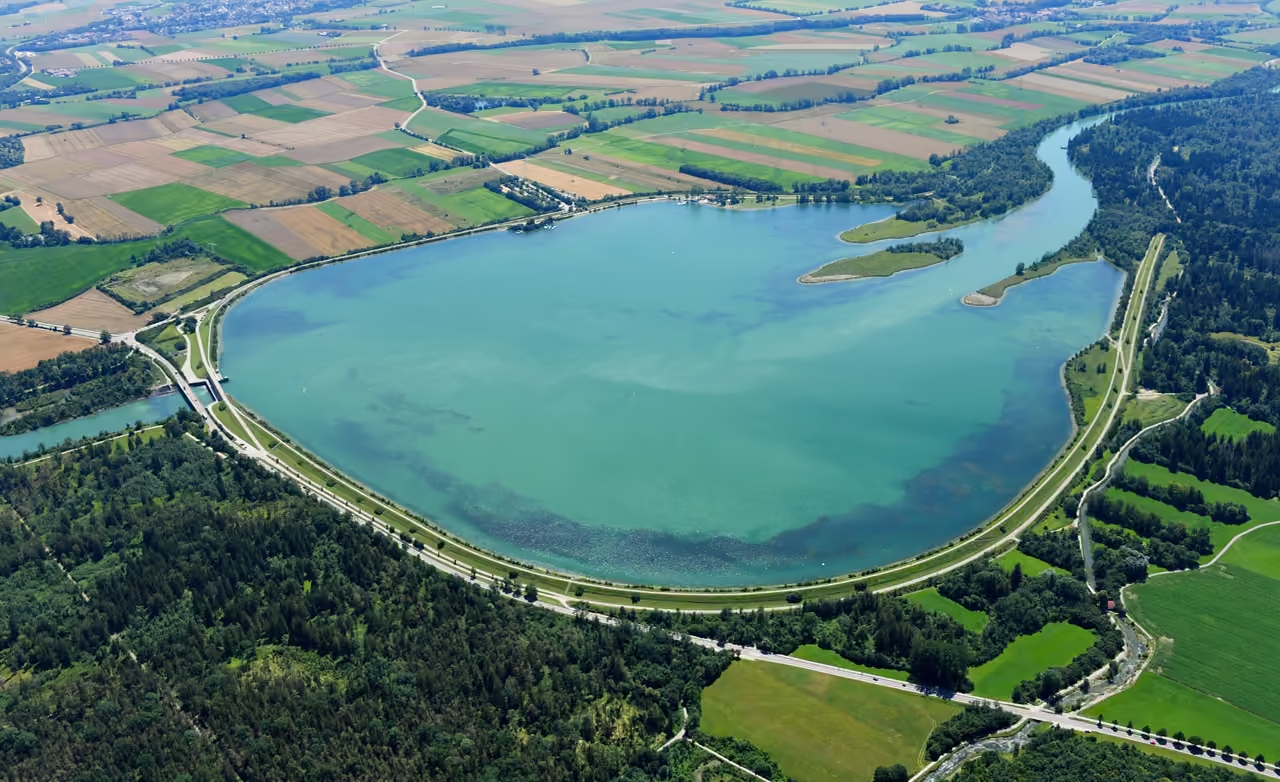
A longer, highly rewarding push out of the city limits towards a massive artificial reservoir on the Lech river. The ride combines open agricultural fields with heavy riverside vegetation. The destination provides a massive expanse of open water where locals sail and windsurf. It feels like a proper, exhausting expedition that ends with a well-deserved swim.
view cycling route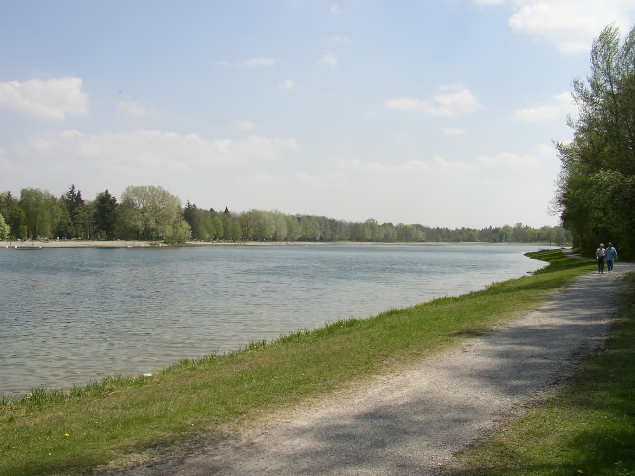
Lech River Cycle Path
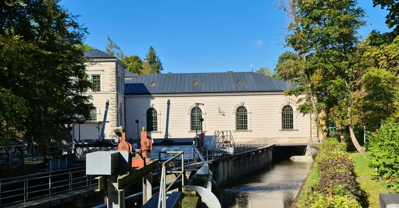
A flat, remarkably fast gravel path that follows the violent, milky-green flow of the Lech river. You can ride for miles with the heavy rush of the water constantly in your ears. The route passes massive concrete dams and dense patches of protected heathland. It requires almost zero navigation skills, as you simply keep the water on one side.
view cycling route
See all nature & parks in Augsburg
Including Augsburg Botanical Garden, Wittelsbacher Park, Augsburg Western Woods Nature Park, and more