Lake Mandicho Excursion
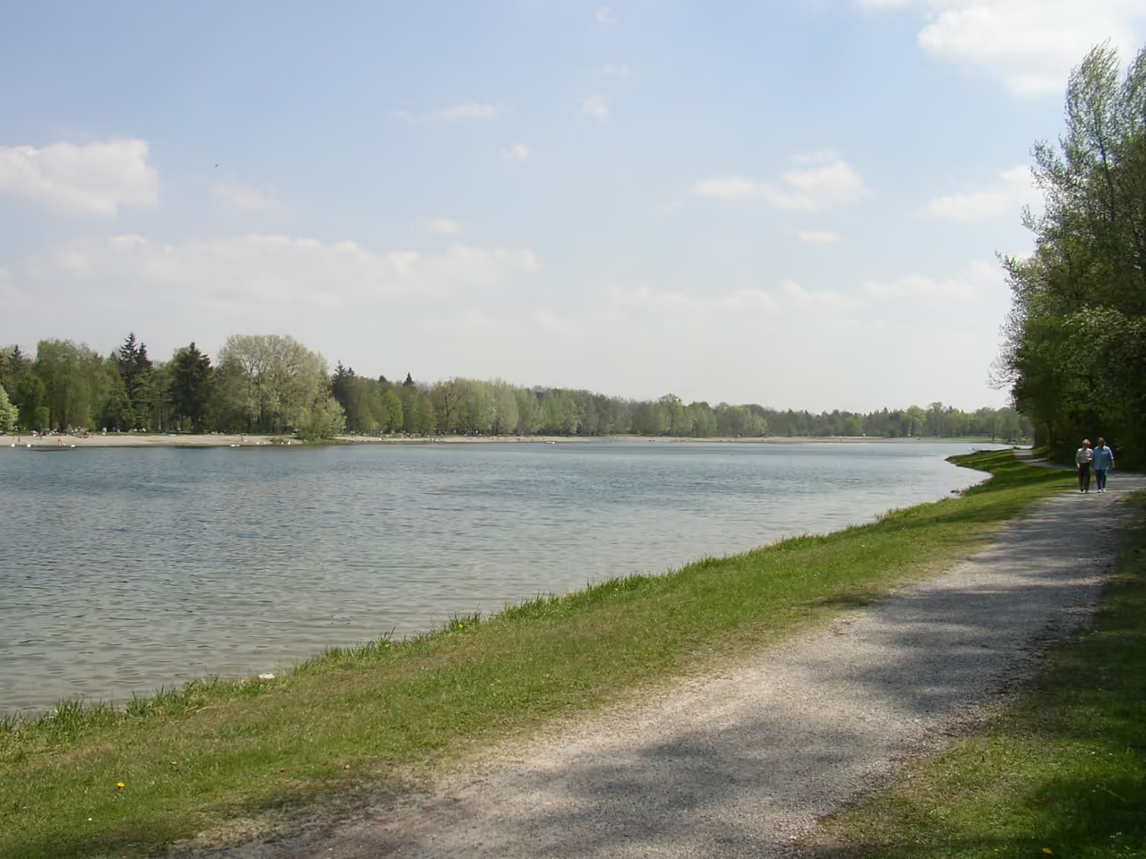
Cycling RouteA longer, highly rewarding push out of the city limits towards a massive artificial reservoir on the Lech river. The ride combines open agricultural fields with heavy riverside vegetation. The destination provides a massive expanse of open water where locals sail and windsurf. It feels like a proper, exhausting expedition that ends with a well-deserved swim.
SURFACE BREAKDOWN
ELEVATION PROFILE
WHY WE LOVE THIS ROUTE
This route provides a specific, highly motivating destination rather than just a loop. The transition from tight urban streets to massive open water is remarkably satisfying.
RIDER'S NOTEBOOK
- • You can easily put your bike on the regional train at Mering station for a cheap, fast ride back to the city centre.
- 1WAYPOINT
Lech Floodplain Forest
LECHAUWALDA thick, heavily overgrown stretch of floodplain forest that perfectly lines the riverbanks. The dense canopy completely blocks out the sun, dropping the temperature aggressively and creating a profoundly quiet environment.
FULL PLACE DETAILS
OVERVIEW & STATS
- Established
- In 1987, making it 39 years old
to next stop - 2PARK & NATURE
Lech River Banks
LECHUFERA wide, fast-flowing alpine river bordered by dense vegetation and smooth gravel paths. The water retains a striking, milky-green colour from glacial runoff.
FULL PLACE DETAILS
OVERVIEW & STATS
- Elevation
- 400 m
to next stop - 3WAYPOINT
Lake Mandicho
MANDICHOSEEA vast, windy reservoir created by damming the river, highly popular with local sailors and swimmers. A small kiosk serves heavy portions of chips and cold beer right on the grassy bank.
Other Cycling Routes
Check out other routes in Augsburg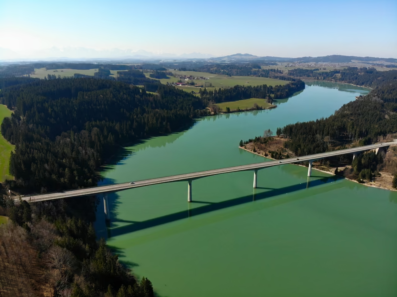
Lech River Cycle Path
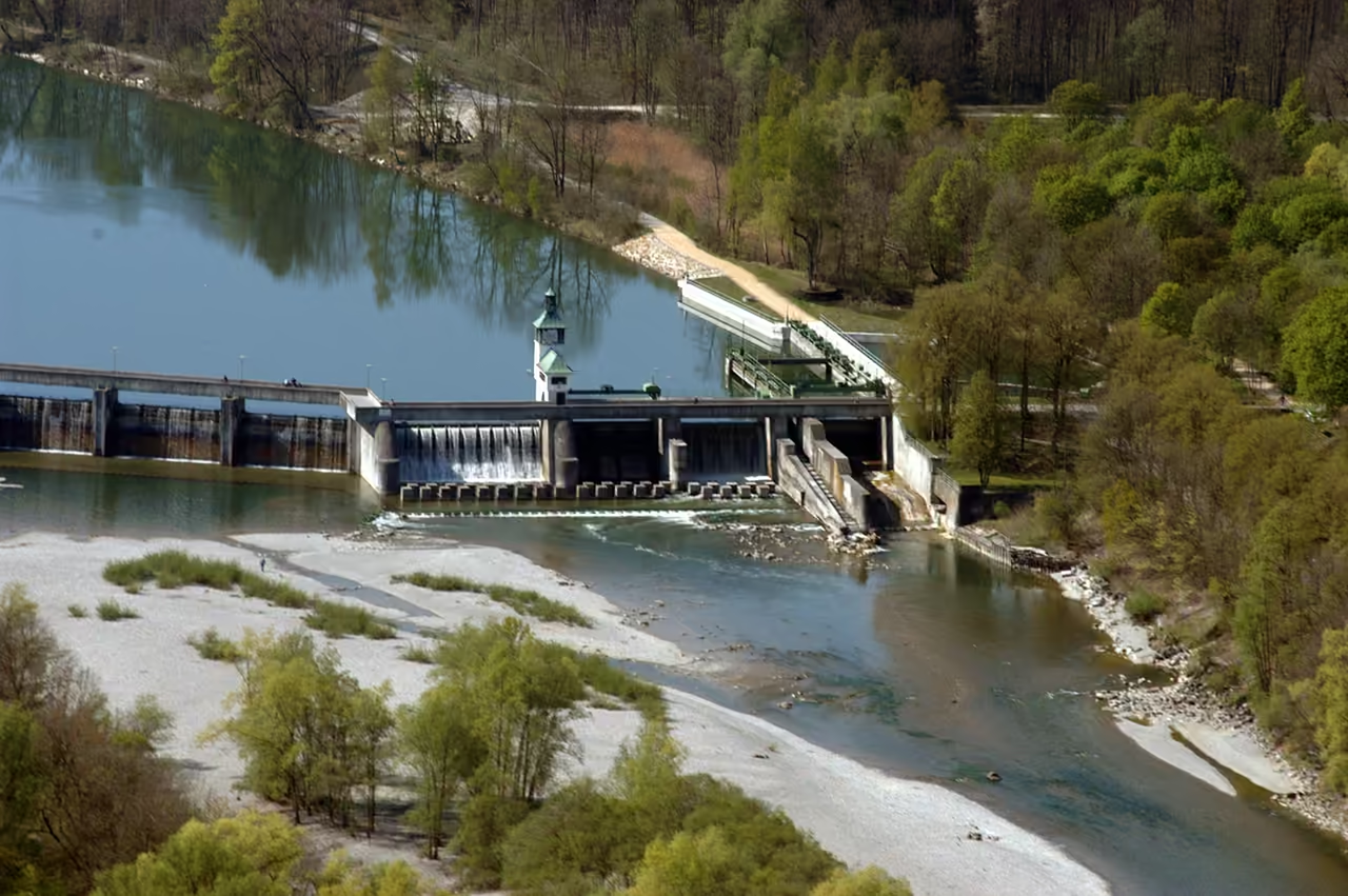
A flat, remarkably fast gravel path that follows the violent, milky-green flow of the Lech river. You can ride for miles with the heavy rush of the water constantly in your ears. The route passes massive concrete dams and dense patches of protected heathland. It requires almost zero navigation skills, as you simply keep the water on one side.
view route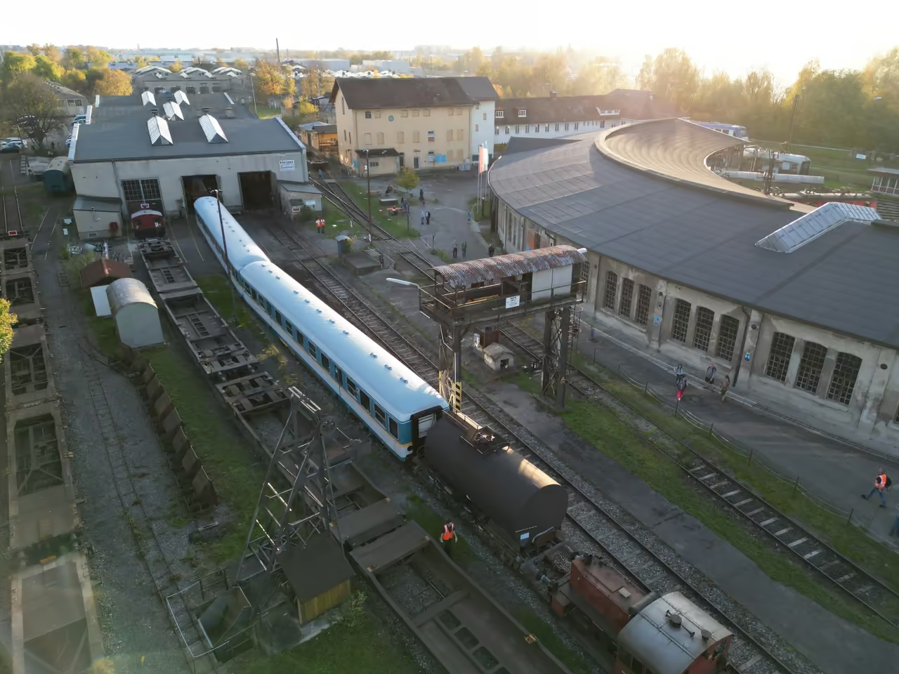
Industrial Heritage Trail
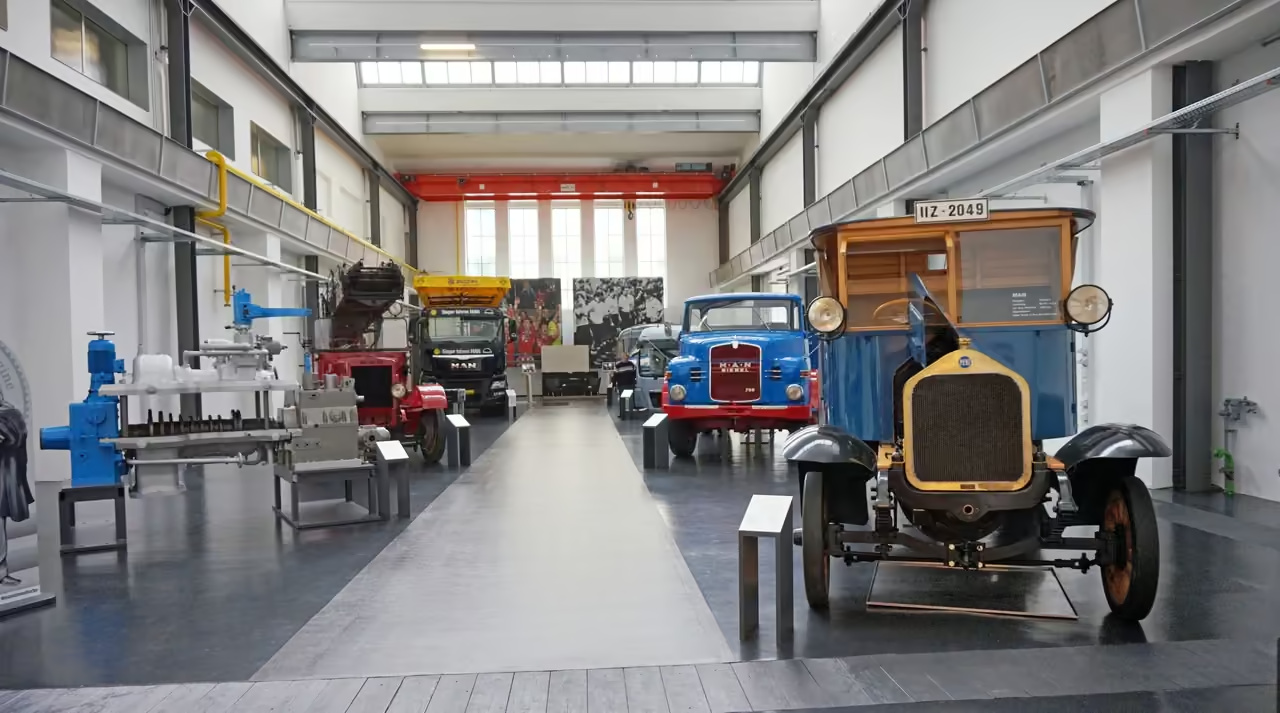
A fascinating, gritty route that tracks the city's historical obsession with water power and heavy manufacturing. You ride past brutal brick factories, complex weir systems, and massive, silent smokestacks. It requires navigating some light urban traffic, but heavily rewards you with a deep understanding of the city's economic engine. The canals dictate the exact shape of the route.
view route
Alternative Ways to Tour the City
Switch your pace. Discover curated routes by bike, foot, or self-guided exploration.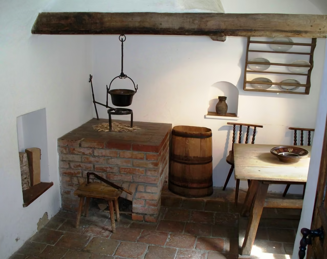
Fuggerei Grounds Stroll
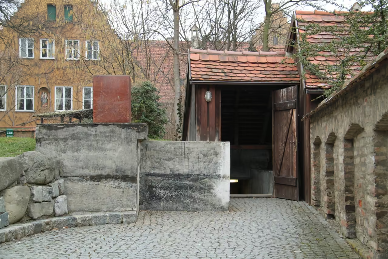
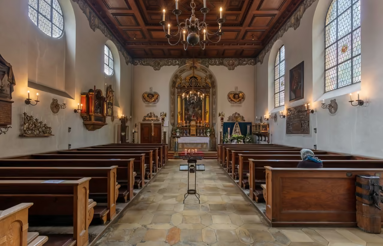
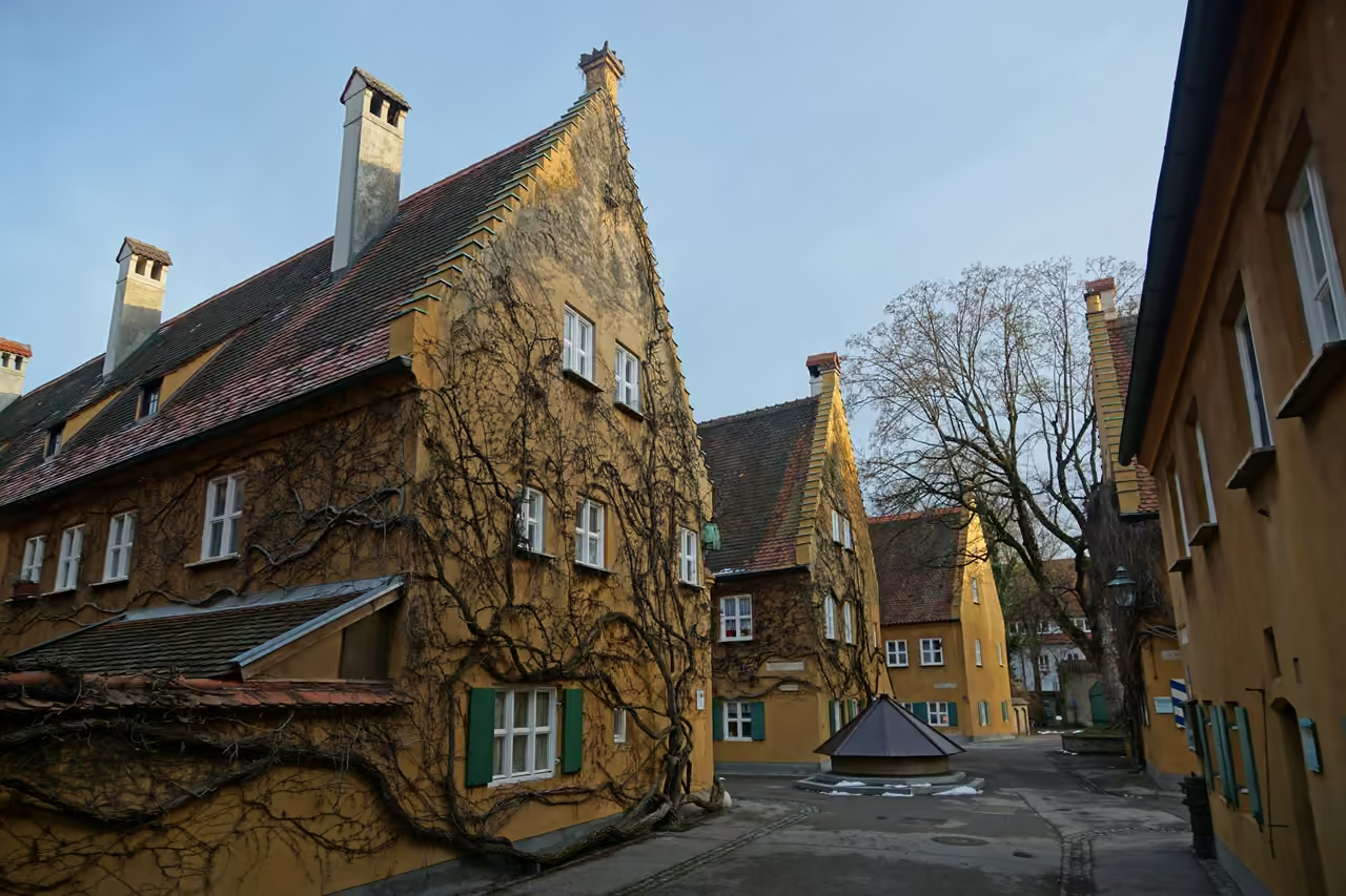
A highly controlled, exceptionally peaceful walk inside a walled, city-within-a-city. You navigate straight, orderly streets lined entirely with matching ivy-covered yellow houses. The atmosphere is deliberately quiet, respecting the residents who still live here. Tiny gardens and a dedicated church complete the self-contained environment.
Fugger Merchant Empire Tour
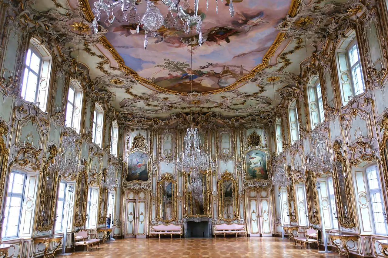
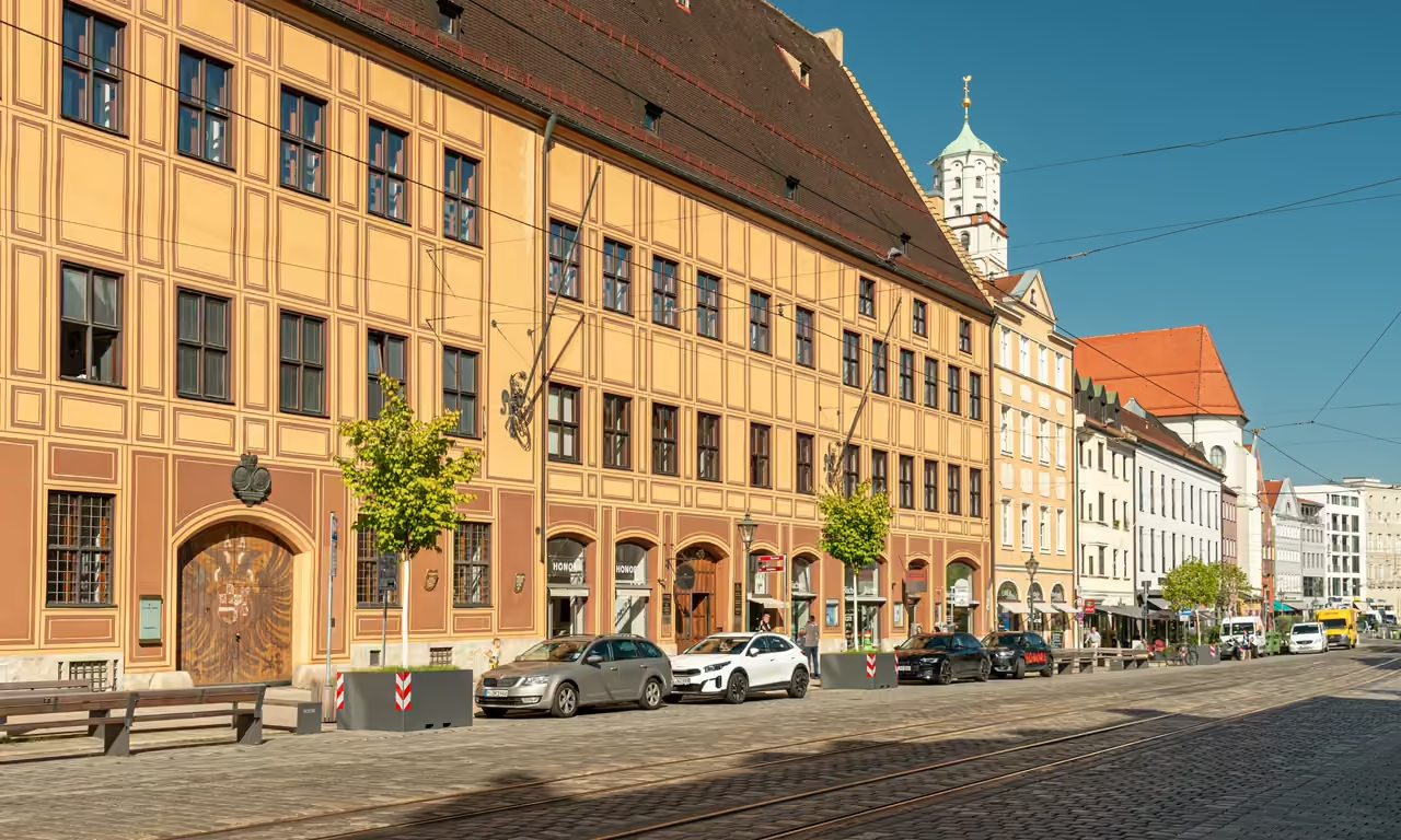
A deep dive into the staggering, incomprehensible wealth accumulated by a single banking family during the Renaissance. You will trace their influence from their private palaces to the massive social housing complex they funded. The route visually explains how early capitalism physically shaped the city's most prominent buildings. Expect heavy doses of gold leaf and intricate stonework.