Pointe de la Varde
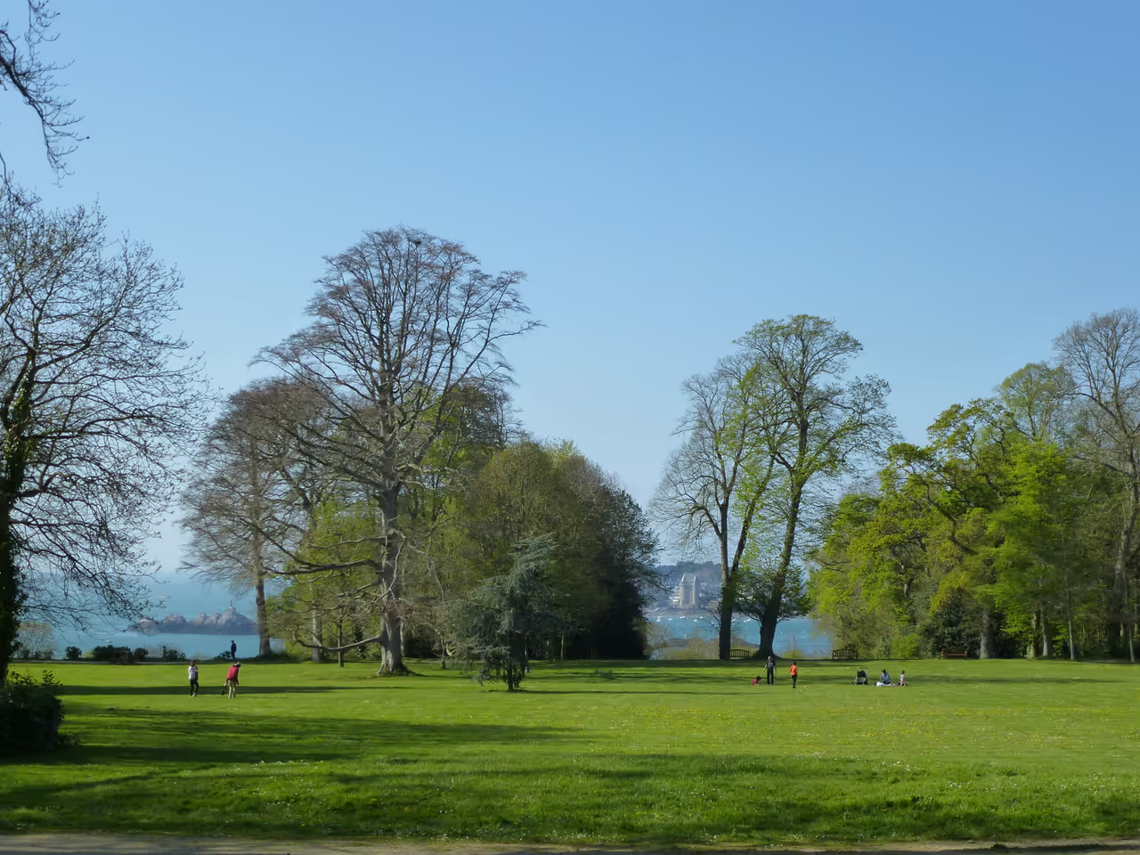
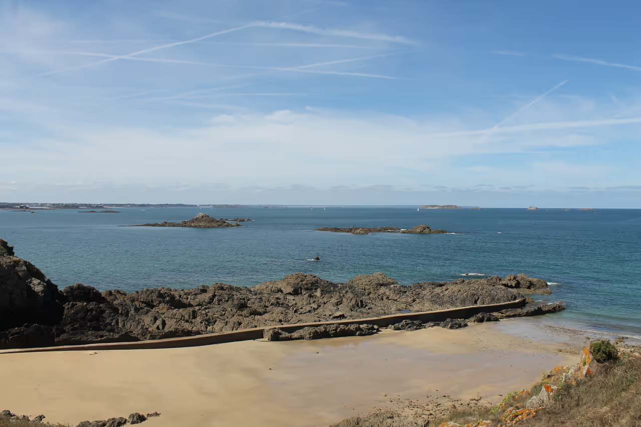
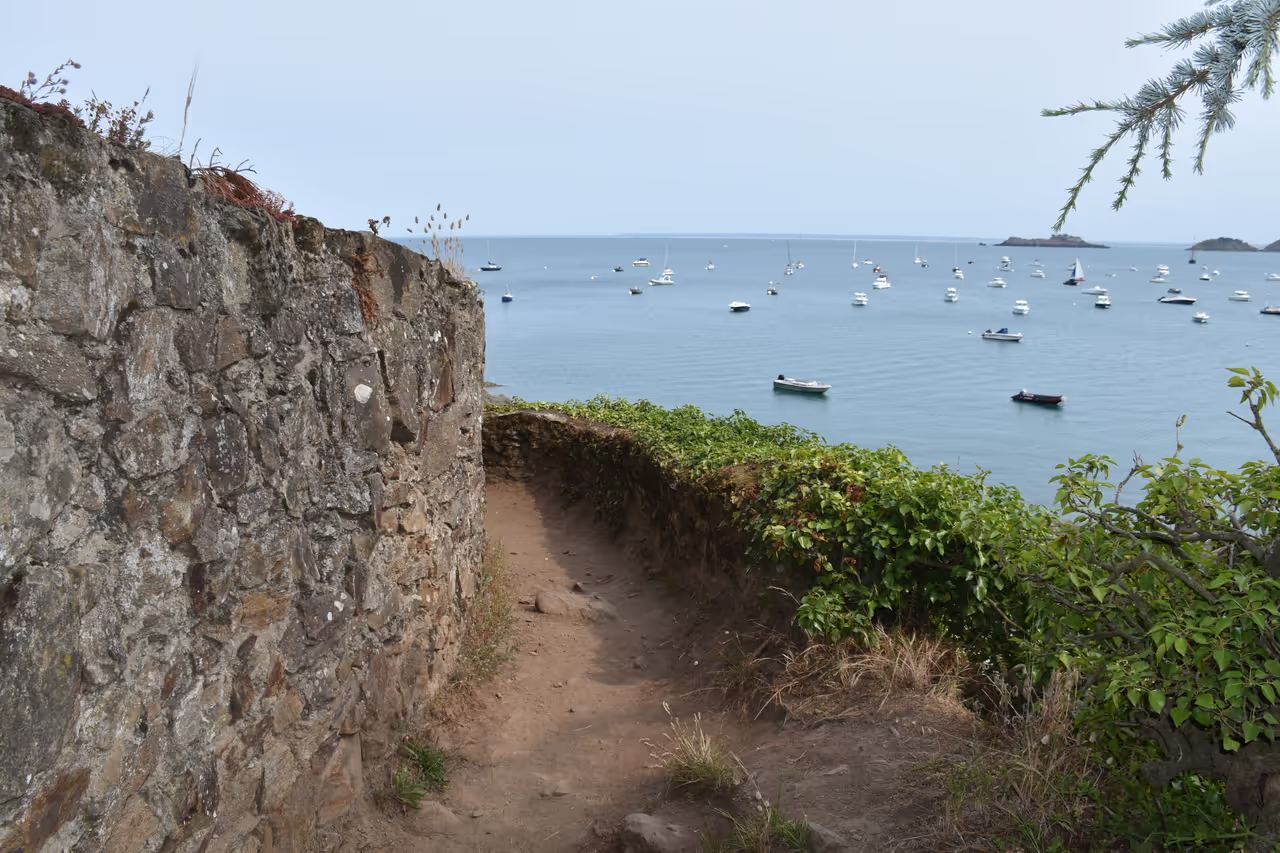
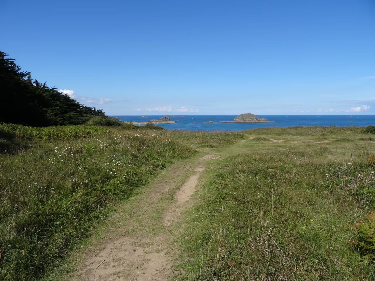
Perched majestically on Saint-Malo's eastern flank, Pointe de la Varde offers an exceptional vantage point over the shimmering Emerald Coast. This protected natural haven, rising 32 metres above the sea, invites exploration of its rugged landscape and expansive views across the bay. Visitors can wander along designated paths, flanked by two charming beaches: the grande Plage du Pont and the intimate Plage du Nicet. Beyond its visual splendour, the point carries centuries of strategic military history, evidenced by the remnants of fortifications that once guarded the Malouin port. It's a compelling destination where nature's beauty and historical echoes create a truly memorable experience.
Videos
History of Pointe de la Varde
For centuries, Pointe de la Varde stood as a vigilant sentinel, crucial to the defence of Saint-Malo's vital port. Its strategic elevation made it an ideal location for military installations, beginning in the late 17th century when fortifications were rapidly erected in 1694 under the oversight of Vauban. These initial defences, known as the Fort de l'Arboulé, were rudimentary, primarily consisting of a perimeter wall and a defensive ditch designed to deter maritime assailants. Over time, as military technology advanced and the threats evolved, so too did the fortifications. The fort saw significant overhauls, notably in 1758 when it was enhanced with a stronger entrenchment, a glacis, and a covered way, reflecting a more sophisticated approach to coastal defence. By the close of the 19th century, specifically between 1898 and 1899, the outermost tip of the point was further equipped with powerful modern batteries, cementing its role as a formidable defensive strongpoint guarding the approaches to Saint-Malo. The 20th century brought the most dramatic chapter in the point's military history. During the Second World War, in 1942, the German army integrated Pointe de la Varde into their elaborate Atlantic Wall defences, specifically as part of "Festung Saint-Malo." Existing fortifications were heavily reinforced with concrete bunkers, artillery observation posts, and multiple Tobruks designed to control access to the beaches of Rothéneuf. This formidable stronghold eventually fell to the American 83rd Infantry Division on 13 August 1944, a pivotal moment in the battle for the liberation of Saint-Malo. Today, the point is a protected natural site, managed by the Conservatoire du littoral, where historical remnants mingle with revitalised ecosystems, offering visitors a peaceful yet poignant experience.
Events spanning 250 years
Fun Facts
- • By the turn of the 20th century (1898-1899), the point was equipped with advanced, powerful batteries, signifying its ongoing importance in coastal defence.
- • During World War II, Pointe de la Varde became a crucial component of the German "Festung Saint-Malo," a fortified zone bristling with concrete blockhouses, casemates, and artillery observation posts.
- • Historically, the point was also known by the name "L'Avarde" or "L'Arboulé," with early fortifications dating back to the late 17th century.
- • It was one of the last German strongholds in the Saint-Malo area to fall during the Allied liberation campaign, captured by the 83rd American Infantry Division.
- • Rising to an elevation of 32 metres, Pointe de la Varde provides some of the most expansive panoramic views along Brittany's famous Emerald Coast, stretching across the Bay of Saint-Malo.
- • Significant modernisations occurred in 1758, adding more complex defensive features like a strong entrenchment and a glacis to enhance its strategic capabilities.
- • The German defences included four simple "Tobruks" and a larger Tobruk specifically designed for anti-aircraft machine guns.
- • The cliffs of Pointe de la Varde serve as a habitat for various species of seabirds, including marine, lesser black-backed, and herring gulls, as well as great cormorants.
- • The initial fort, built in 1694, was a relatively simple structure comprising a defensive wall and ditch, part of Vauban's efforts to protect the port of Saint-Malo.
- • The point is framed by two distinct beaches: the larger Plage du Pont to the south and the more secluded Plage du Nicet to the north-east, offering diverse coastal experiences.
- • Today, the point is a protected natural site managed by the Conservatoire du littoral, with visitors encouraged to stay on marked paths to aid the regrowth of native vegetation.
Pointe de la Varde FAQ
While we strive to keep this information accurate and up to date, we recommend verifying any details independently before making decisions based on them.
Pointe de la Varde Map & Neighborhood Explorer
This interactive map is centered on Pointe de la Varde. Zoom in and move the map around to automatically discover Wikipedia photos and summaries of other nearby sights, monuments, and historical points of interest and stories in real-time!
Places near Pointe de la Varde
Make the most of your trip. Check out these top-rated spots located nearby.
 1516m
1516mRochebonne Point
Located at the far eastern end of the long Sillon beach, where the sand finally gives way to steep cliffs. Standing on the edge, you can look straight down the entire 3 kilometre curve of the bay back toward the walled city. Surfers often gather in the water below this point to catch the incoming swells. It offers the best perspective to appreciate the sheer length of the coastal defences.
viewpoint view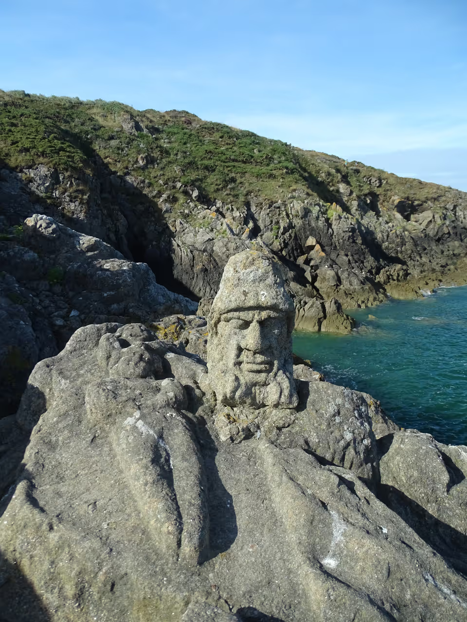 1623m
1623mSculpted Rocks of Rothéneuf
Cut off from his parish by a sudden stroke, an eccentric late-19th-century priest spent thirteen years single-handedly reshaping a jagged stretch of Breton coastline. Abbé Fouré chipped away at the raw granite to create over 300 eerie, weather-beaten figures staring directly into the English Channel. Spotting these characters feels like an archaeological puzzle. Among the mossy crevices, you can identify jagged portrayals of the notorious Rothéneuf smuggling dynasty alongside the stoic profile of French explorer Jacques Cartier. The relentless Atlantic winds and salty sea spray are steadily eroding these intricate folk-art carvings, meaning the rock faces look slightly different with every passing decade. Step carefully down the narrow stone path toward the water’s edge to examine the fading chisel marks of a granite gargoyle slowly dissolving back into the cliff.
highlight view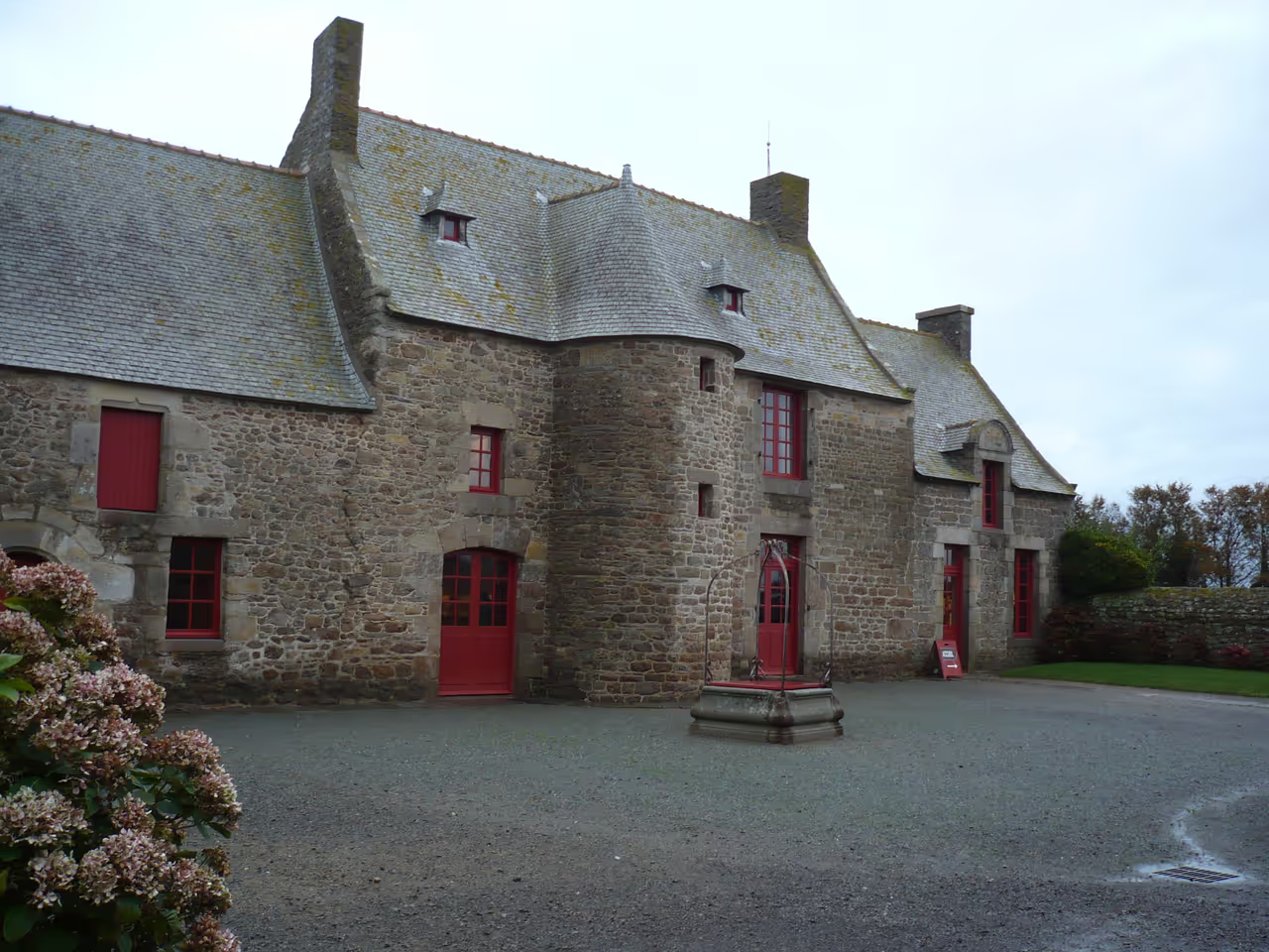 1922m
1922mJacques Cartier Manor House and Museum
Step into the 16th century at the Manoir de Limoëlou, the authentic Breton home of legendary explorer Jacques Cartier. This beautifully preserved manor, a precursor to the grand malouinières, offers a unique window into the personal world of the man who charted the St. Lawrence River. Wander through rooms furnished with period pieces, from the dining hall to Cartier's private chamber, where he spent his final years dreaming of distant lands. Visiting here isn't just a history lesson; it's an immersive journey into the life of a pivotal figure, revealing the character of a true adventurer. The tranquil setting in Rothéneuf, just outside Saint-Malo, provides a perfect backdrop to reflect on his incredible voyages and the enduring spirit of exploration. Discover why this humble farm transformed into a gentleman's residence became the final refuge of a national hero.
attraction view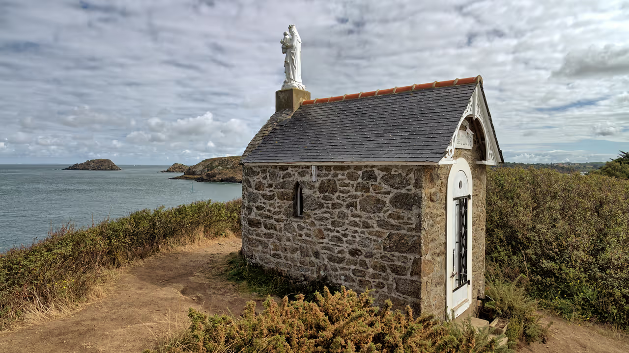 1939m
1939mChapel of the Waves
Perched precariously on a cliff edge near Rothéneuf, this tiny stone structure looks like it could slide into the ocean at any moment. It was originally built as a small guardhouse for customs officers watching for smugglers on the rocky coast below. In 1889, it was converted into a religious sanctuary dedicated to protecting sailors facing the brutal channel storms. Inside, the walls are covered with small plaques and maritime offerings left by the families of fishermen. It offers a deeply quiet, contemplative space with a viciously rugged view.
hidden gem view
Explore Similar Places in This Collection
Featured on This Route
See all nature & parks in Saint-Malo
Grand Park of La Briantais...