Mussulo Peninsula
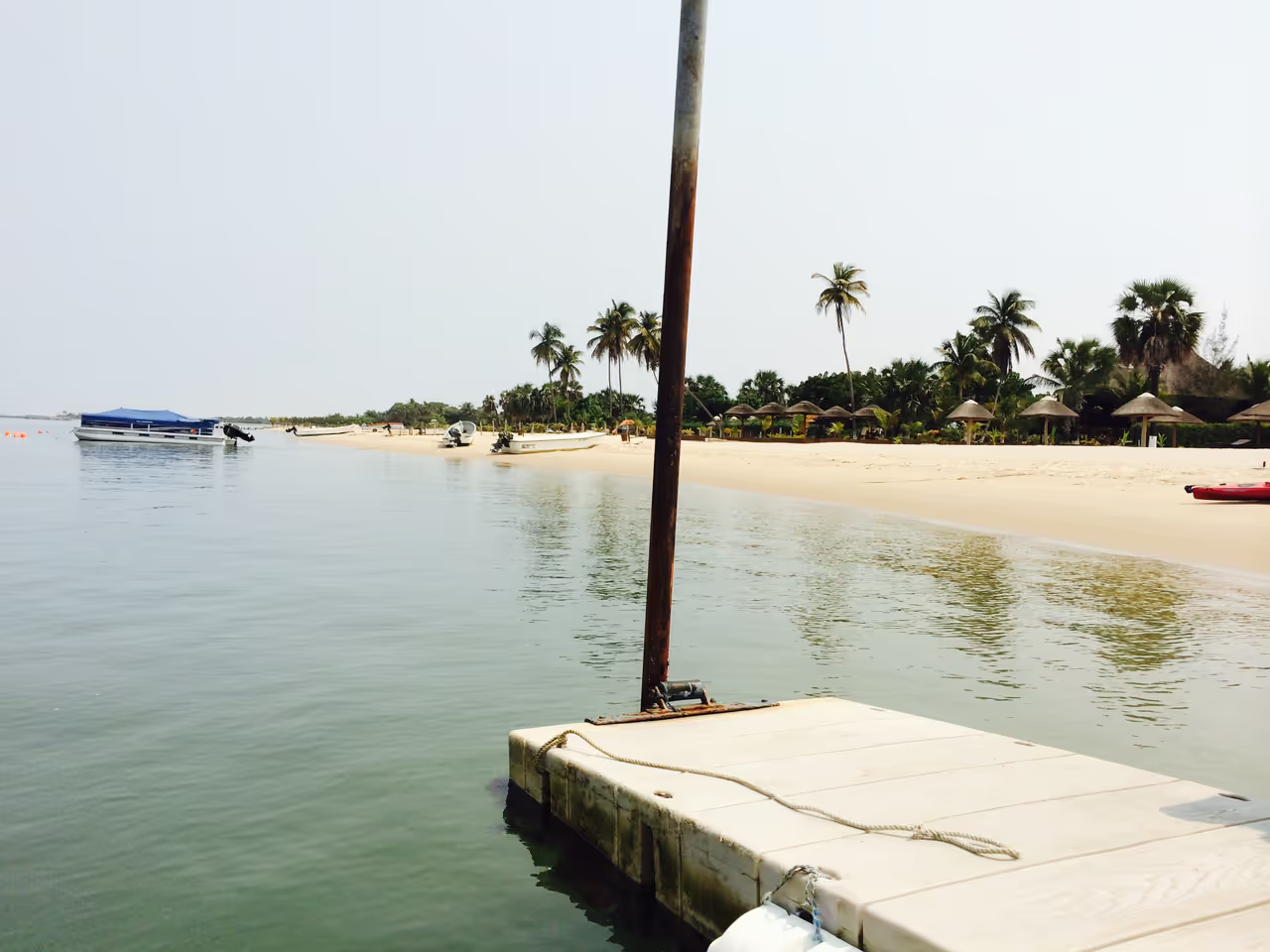
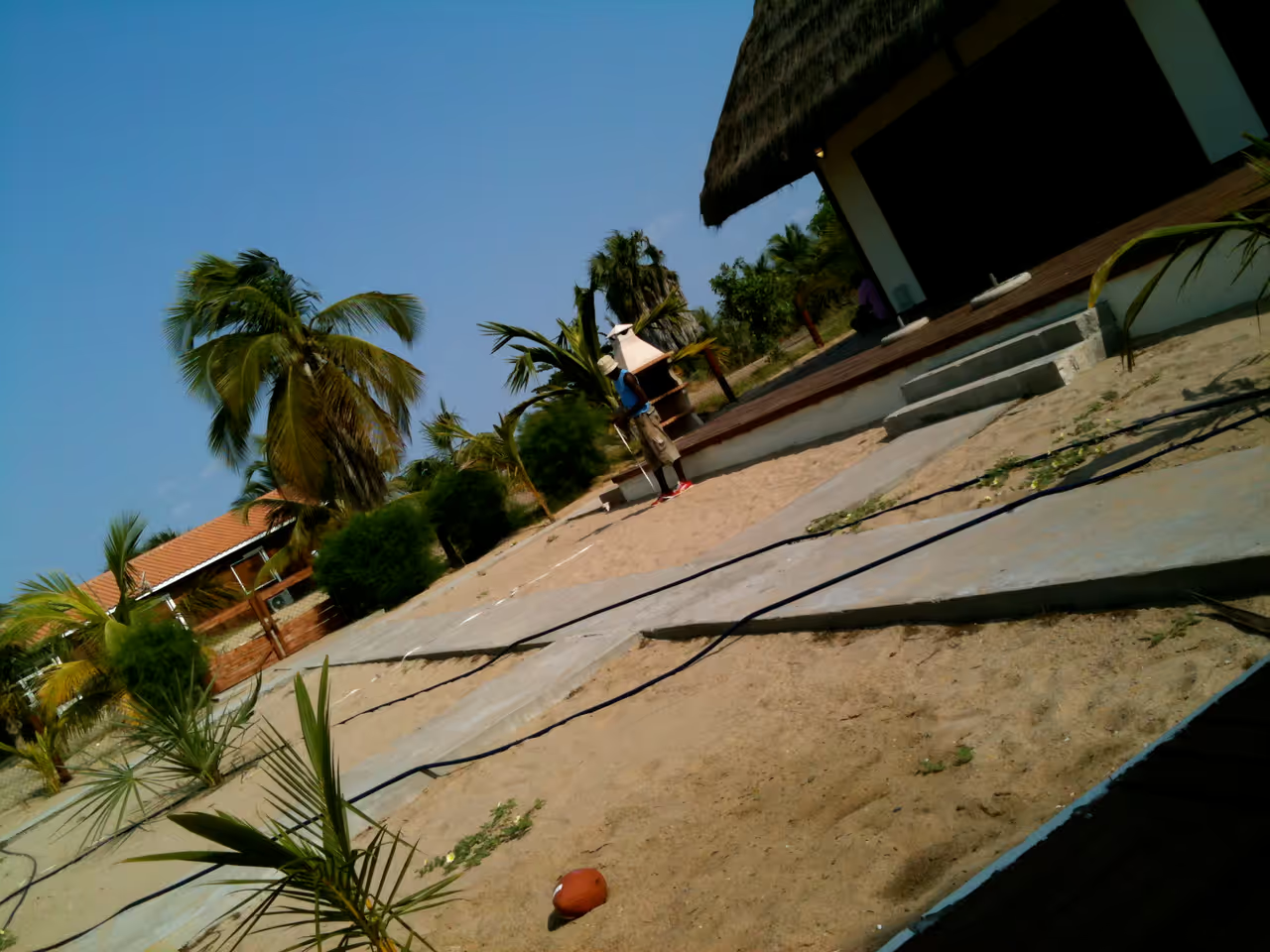
A 30-kilometre stretch of sand separating the mighty Atlantic Ocean from the tranquil waters of the bay, Mussulo is the ultimate weekend escape from the heart of Luanda. This slender spit of land, formed by centuries of sediment drift, offers two entirely different coastal experiences. On the western side, wild waves crash against the shore, while the eastern side creates a serene, glass-like lagoon perfect for swimming and water sports. It is the go-to spot for locals seeking respite, dotted with rustic beach huts, seafood restaurants, and sun-drenched palms. Whether you are looking to lounge by the water with a drink in hand or explore the coast by boat, this peninsula captures the laid-back spirit of the Angolan coast.
Videos
History of Mussulo Peninsula
Centuries of relentless ocean currents and the silt carried by the mighty Cuanza River slowly conspired to build a barrier against the Atlantic. This natural wonder, a narrow strip of golden sand, eventually took the form we know as the Mussulo peninsula. It serves as a guardian for the coastline, shielding the calmer waters within the bay from the raw power of the Atlantic Ocean. This geological happenstance created a unique sanctuary that has stood the test of time, defining the local geography of Luanda. Throughout history, the strategic nature of this bay did not go unnoticed. During the colonial era, the surrounding waters were often the backdrop for naval skirmishes and movements, as powers fought for dominance over the Angolan coast. The peninsula offered vantage points and secure anchorage, crucial for controlling the trade routes. However, as the centuries turned, the military importance faded, leaving behind a serene playground that locals would eventually claim as their own. Today, the peninsula has evolved into the heartbeat of Angolan leisure. It remains an essential escape for those living in the city, providing a quick transit into a world of sunshine and slow-paced days. Families, friends, and travellers gather here to enjoy the contrast between the wild, untamed Atlantic beach and the mirror-like waters of the lagoon. This transition from a strategic border to a celebrated leisure destination reflects the resilience and vibrancy of the region, making it an unmissable part of the Angolan experience.
Events spanning 9995 years
Fun Facts
- • At its narrowest southern point, the land is less than 100 metres wide, creating a striking visual contrast between the two oceans.
- • Boat transport is the primary method of reaching the peninsula, which adds an adventurous element to the arrival for visitors.
- • It acts as a natural breakwater, which explains why the bay side is consistently calm while the ocean side is often too rough for casual swimming.
- • It provides a crucial habitat for various coastal bird species that thrive in the quiet, sheltered environment of the bay.
- • Many of the structures on the bay side are built on stilts, allowing the tide to flow freely beneath them.
- • Ponta das Palmeirinhas, located at the western tip of Luanda province, serves as the anchor point connecting the peninsula to the mainland.
- • The Benguela Current is the primary force that has maintained the shape and existence of this peninsula over millennia.
- • The area is renowned for its diverse seafood, with many restaurants serving fresh catches directly caught from the bay.
- • The calm interior waters are favoured for water skiing and jet skiing, a stark contrast to the turbulent Atlantic waves on the exterior.
- • The peninsula is home to a specific microclimate that remains slightly cooler and more breezy than the mainland city centre during the heat of the day.
- • The peninsula is technically a spit, which is a landform created by the deposition of sand and sediment, rather than a naturally occurring island.
- • The spit stretches roughly 30 kilometres in length, making it a massive natural barrier for the bay.
Mussulo Peninsula FAQ
While we strive to keep this information accurate and up to date, we recommend verifying any details independently before making decisions based on them.
Mussulo Peninsula Map & Neighborhood Explorer
This interactive map is centered on Mussulo Peninsula. Zoom in and move the map around to automatically discover Wikipedia photos and summaries of other nearby sights, monuments, and historical points of interest and stories in real-time!
Places near Mussulo Peninsula
Make the most of your trip. Check out these top-rated spots located nearby.
 9509m
9509mNational Museum of Slavery
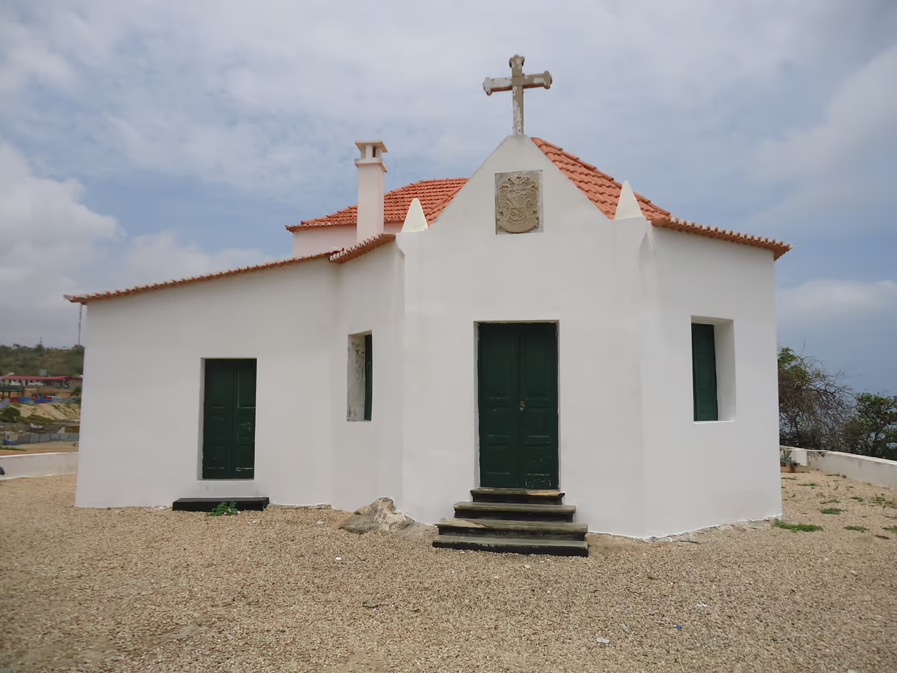
Perched on the scenic Morro da Cruz, the National Museum of Slavery stands as a poignant reminder of Angola’s complex past. This site offers an immersive look into the history of the transatlantic slave trade and its devastating impact on the region. Visitors can explore the preserved chapel from the seventeenth century where enslaved people were baptised before their forced journeys. The museum displays a collection of items used during that era, providing a sombre but vital educational experience. It is a place for reflection and understanding, allowing guests to connect deeply with the stories of those who suffered and survived. The museum serves as an essential stop for anyone wanting to grasp the historical forces that shaped modern Angola.
attraction view- 16336m
Benfica Handcrafts Market
Located just south of the city centre, this sprawling open air market is the ultimate destination for authentic African art and souvenirs. Wandering through the dense stalls, visitors can find intricately carved wooden masks, beautiful woven baskets, bronze sculptures, and traditional animal skins. The vendors are eager to negotiate, making haggling an essential and expected part of the experience. It offers a chaotic, colourful, and highly rewarding shopping adventure for those seeking unique cultural artefacts.
market view  19216m
Shop at the Mega Mall
When it opened in 2007, this massive complex marked the arrival of modern consumer culture in the country. Featuring a huge cinema, a sprawling food court, and dozens of international brand stores, it is a monument to the nation's post war economic boom. It provides a fascinating, air conditioned glimpse into the lifestyle of the city's rapidly expanding middle and upper classes. If the equatorial heat becomes entirely unbearable, escaping into this pristine, westernised environment offers a comforting respite. It is an excellent place to grab a quick, familiar meal.
highlight view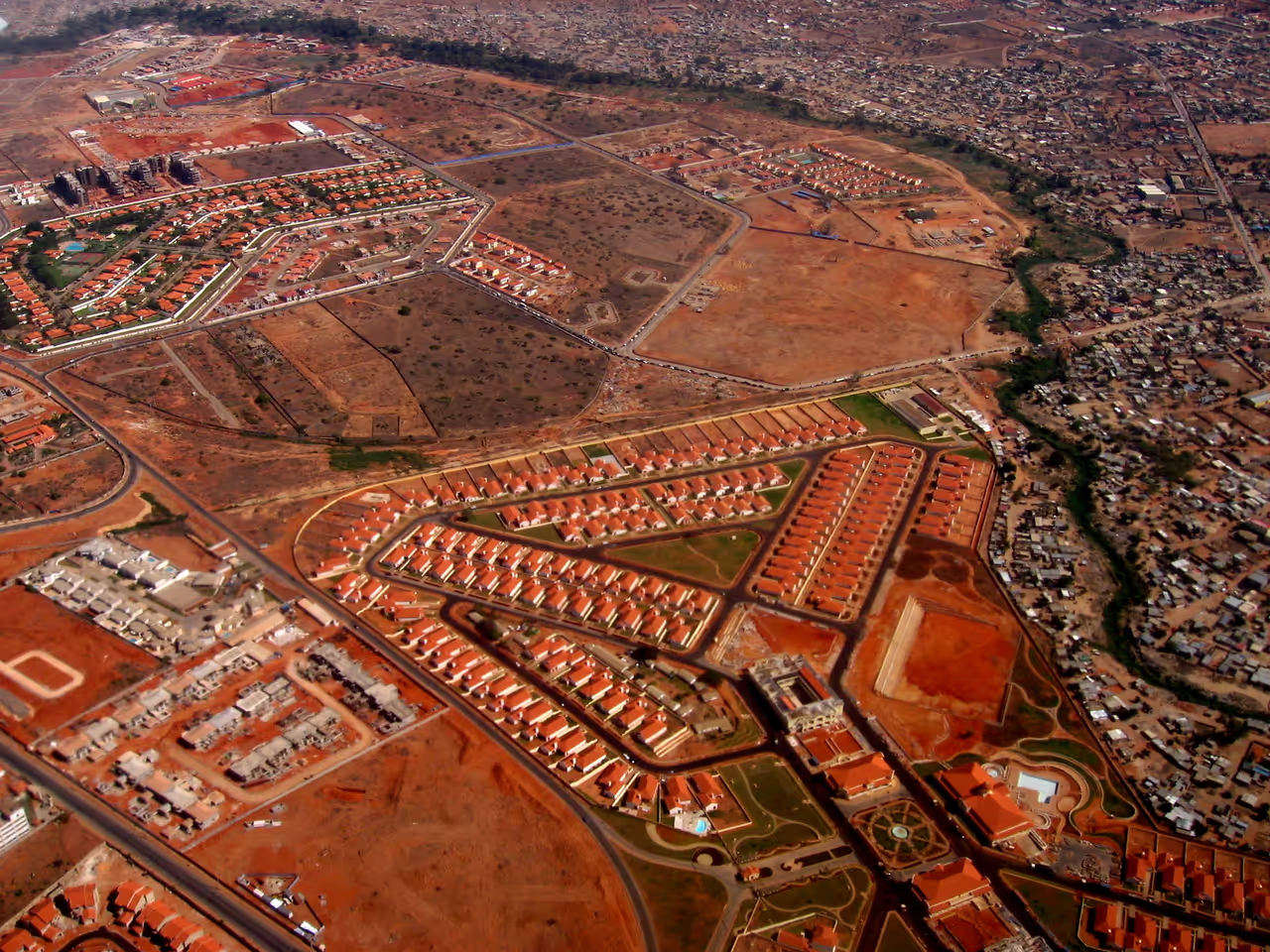 19302m
Talatona District
Located south of the historic centre, this rapidly developing modern district caters heavily to affluent locals and international workers. The nightlife here is concentrated in high end shopping complexes and luxurious hotel bars, offering a highly sanitised and secure environment. You will find premium wine bars, sleek modern pubs, and exclusive late night lounges. It provides a taste of the city's new oil wealth in a pristine, master planned setting.
nightlife view
Explore Similar Places in This Collection
Featured on This Route
See all nature & parks in Luanda
Kissama National Park...