Wertach River
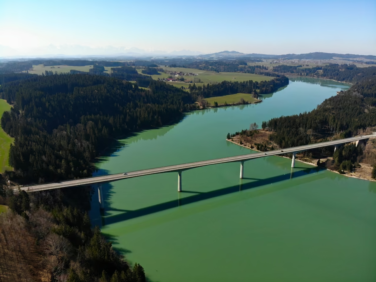
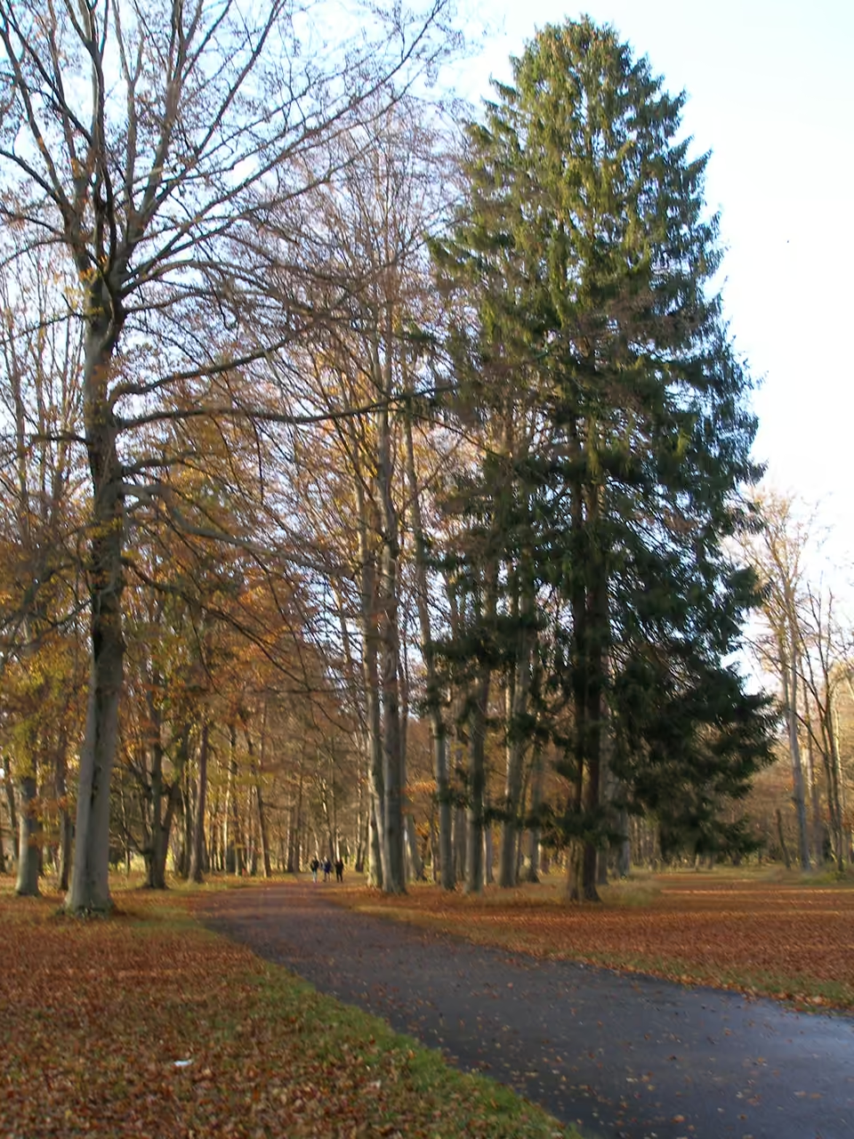
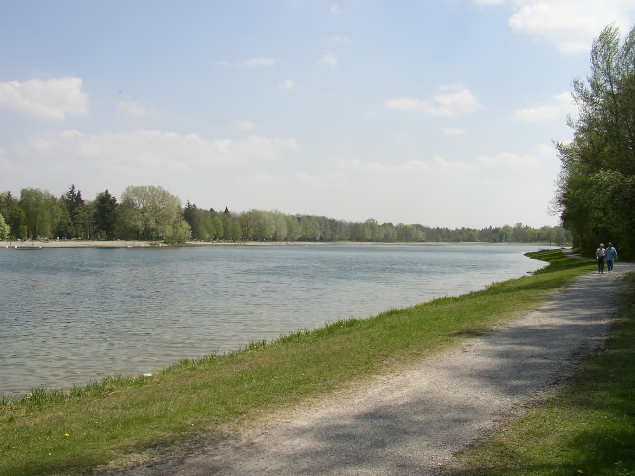
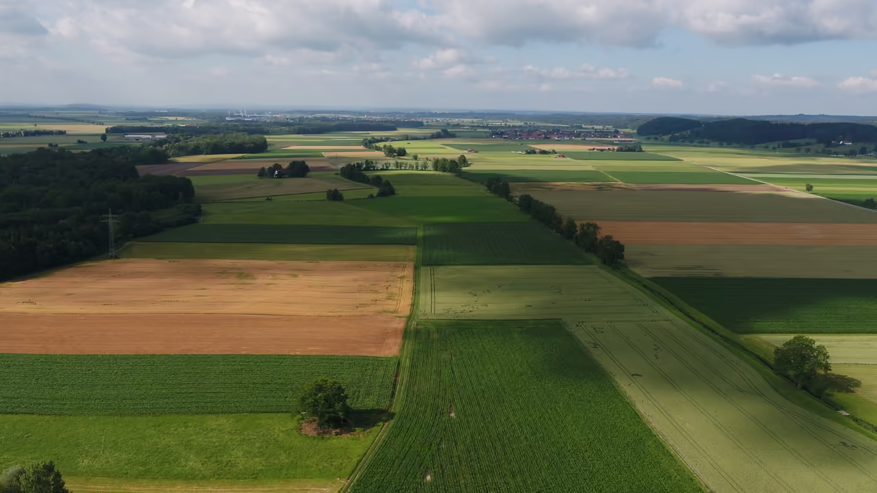
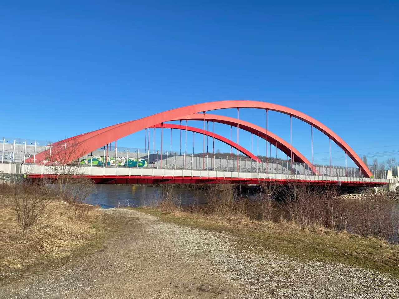
The Wertach River slices through Augsburg's western edge, carrying cold Alpine meltwater directly from the Allgäu mountains into the city limits. For decades, this fierce waterway was forced into a tight, straight concrete channel to protect neighbourhoods like Pfersee from its notorious floods. Following a massive restoration project, the riverbanks have been broken open again, creating wide gravel beaches where locals now walk dogs and skip stones across the rushing current. You might spot a heron hunting in the shallows near the Göggingen bridge, completely ignoring the joggers passing on the elevated dirt paths above. The water remains bracingly cold even in July, providing a sharp natural air conditioning effect if you sit close to the rocky shoreline. Thick clusters of newly planted willow trees trail their branches in the moving water, hiding the industrial history that once dominated these exact banks.
Videos
History of Wertach River
In the sixth century, early settlers and the monk Paulus Diaconus recorded this waterway under the name Virdo, likely derived from an ancient root meaning fast and powerfully forward striving. The river certainly lived up to that fierce title. Running parallel to the vital Roman road connecting Augusta Vindelicorum with Kempten, the rushing water formed a formidable natural defensive barrier along Augsburg's western flank. For centuries, the river acted as a commercial artery rather than a leisure destination. Raftsmen navigated the treacherous currents to transport heavy loads of tuff, gypsum, and timber from the foothills right into the urban centre, a risky trade that only vanished when the railway arrived in the late nineteenth century. The river's speed and power made it a constant threat to those living alongside it. Raging spring melts regularly smashed the wooden bridges connecting the Pfersee district to the main city. In a desperate bid for control, engineers in 1856 caged the water behind high dams and carved out the Fabrikkanal to siphon off flow for the booming textile factories in Göggingen. The taming seemed successful on the surface, but forcing an alpine river into a narrow, straight corset only gave the water more destructive velocity when storms hit. The ultimate reckoning arrived during the Pentecost floods of 1999. The constrained river exploded over its banks, pumping hundreds of cubic metres of water per second into suburban streets and causing hundreds of millions of marks in damage. This disaster finally broke the old engineering mindset. Instead of building higher concrete walls, the local government launched a massive renaturation project to give the river back its space. Heavy machinery ripped out the artificial embankments, dumped massive boulders into the channel to break the current, and sculpted new, wide gravel banks. The aggressive Virdo of the past has been reshaped into a dynamic, partially wild corridor that expands and contracts with the seasons, depositing white alpine stones right at the edge of the modern cityscape.
events spanning 1200 years
Fun Facts
7- 01
Ancient, dried up arms of the river were known by the local dialect word Rössen. This peculiar linguistic quirk eventually gave the Augsburg district of Rosenau its name, a title completely unrelated to actual roses.
- 02
Before modern engineering intervened, the narrow wooden footbridge connecting the working class district of Pfersee to the main city was so frequently obliterated by spring floods that locals considered rebuilding it a routine seasonal chore.
- 03
Following the last Ice Age, the river briefly became confused by the flat terrain near Türkheim and flowed entirely down the neighbouring Flossach valley to reach the Danube, leaving unique alpine rock deposits in valleys it no longer touches today.
- 04
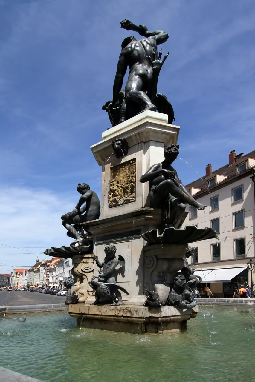
For centuries, Augsburg's artists could not agree on the waterway's gender. Renaissance statues like the Augustusbrunnen depict the river as a muscular male god, while eighteenth century frescoes in the Prince Bishop's Residence paint the exact same river as a delicate female allegory.
- 05
The paper mill at Ettringen was one of the earliest massive industrial operations to harness the river, using the fast flowing water to churn out reams of paper long before modern electricity grids reached the region.
- 06
The river's original sixth century name, Virdo, stems from an ancient Indo European root specifically translating to fast and powerfully forward striving, acting as a warning about its fierce alpine currents.
- 07
To create the new, safer widened riverbanks in the early 2000s, environmentalists had to make the painful decision to clear cut 25 hectares of established riverside forest, replacing it with young saplings further inland.
Wertach River Map & Neighborhood Explorer
This interactive map is centered on Wertach River. Zoom in and move the map around to automatically discover Wikipedia photos and summaries of other nearby sights, monuments, and historical points of interest and stories in real-time!
Wertach River FAQ
While dipping your feet from the gravel banks is a popular summer activity, swimming is highly discouraged. The water originates from alpine runoff, making it shockingly cold even in August, and the river features hidden, unpredictable currents swirling around submerged boulders.
The stretch between the Göggingen bridge and the local reservoir offers the most scenic paths. This section showcases the recent renaturation efforts, featuring wide stone beaches, thick willow groves, and elevated dirt trails favoured by local runners.
They were physically ripped out by the city starting in the year 2000. Following catastrophic floods in 1999, authorities realised that forcing the river into a straight concrete channel only made the water faster and more destructive, leading to the creation of the current, wilder layout.
Dedicated cyclists can follow the river's trail almost entirely from its rugged origins in the Allgäu Alps right down to where it empties into the Lech river at the Wolfzahnau spit in northern Augsburg.
The closest place to visit near Wertach River is Wittelsbacher Park, around 1.3 km away. Other things to do near Wertach River include Dorint Hotel Tower (1.6 km), Augsburg Railway Park (1.9 km) and Augsburg Synagogue (2.3 km). All of these are within roughly 2.3 km of Wertach River.
While we strive to keep this information accurate and up to date, we recommend verifying any details independently before making decisions based on them.
Places near Wertach River
Make the most of your trip. Check out these top-rated spots located nearby.
 1280m
Wittelsbacher Park
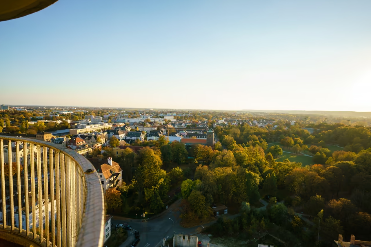
Bordering the stark concrete angles of the Kongress am Park, this 18 hectare expanse serves as Augsburg’s most layered natural retreat. The urban noise fades quickly beneath the canopy of the protected ravine forest sloping down toward the Wertach river. At the northern edge, a tiny 1886 iron pavilion forged by a local locksmith sits quietly in an artificial pond, sprouting a tall water fountain through the summer months. Neighbourhood families drag sledges up a 15 metre hill in the southwest corner as soon as the first snow falls. Just a short walk away rests a Japanese rock garden, constructed using massive boulders shipped directly from the Inagawa river in 1957 to honour the inventor of the diesel engine. The sharp contrast between these quiet memorial stones and the occasional roar from the adjacent Rosenaustadion gives the lawns a wonderfully unpredictable rhythm.
park & nature view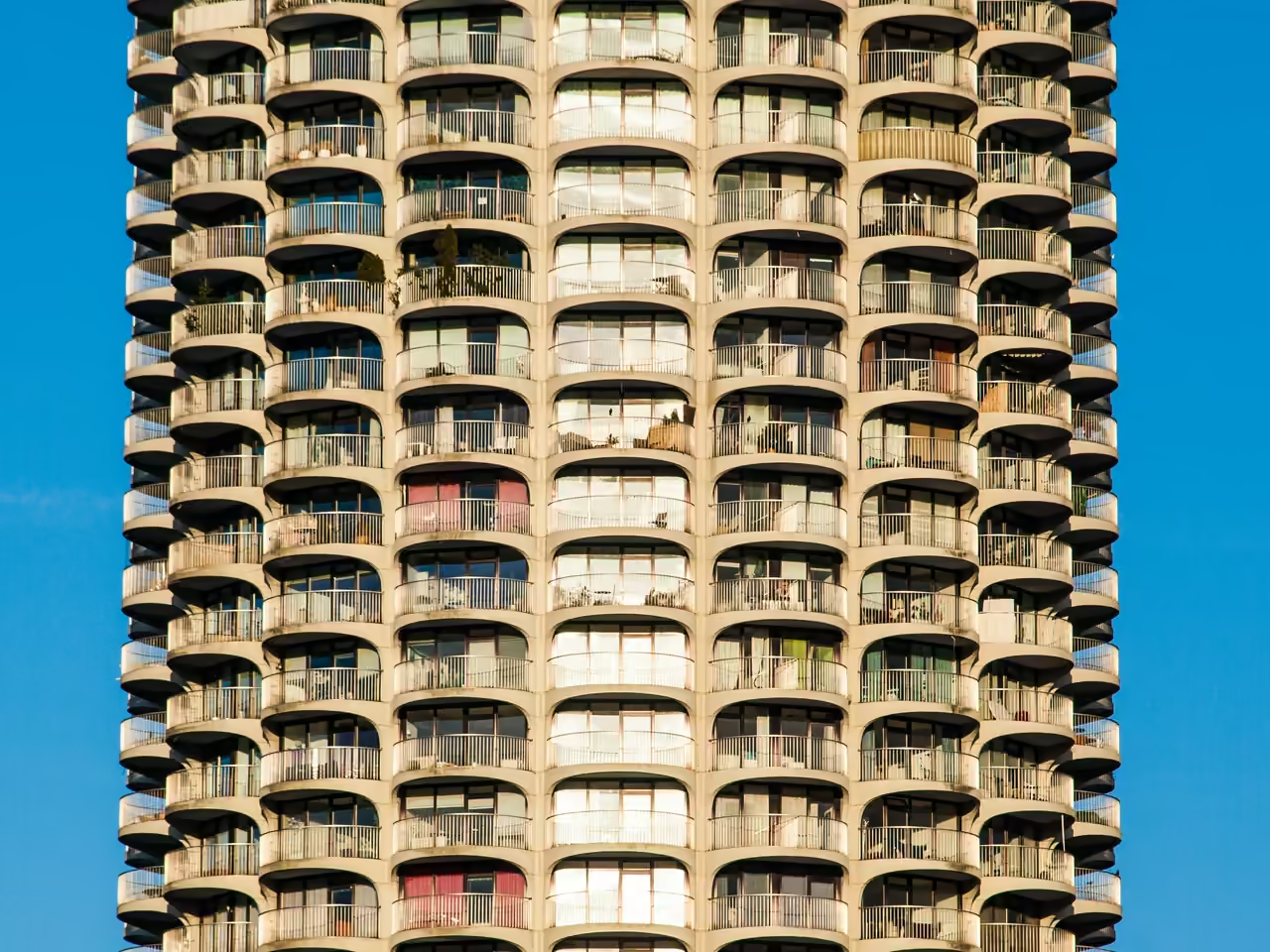 1556m
Dorint Hotel Tower
A massive, aggressive spike of concrete and glass that completely dominates the city's otherwise low-slung historic skyline. Constructed in time for the 1972 Olympics, its highly distinct, ribbed cylindrical shape earned it the local nickname 'Maiskolben' (corn on the cob). It stands as a stark, unapologetic piece of 1970s brutalist-adjacent architecture completely ignoring the surrounding Renaissance aesthetics. At over 100 metres tall, it acts as a highly effective navigation beacon from almost anywhere in the city.
architecture view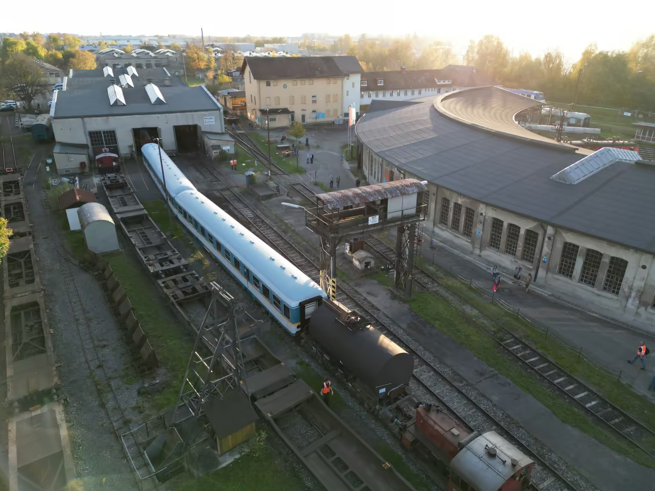 1945m
Augsburg Railway Park
A massive, grease-stained locomotive depot saved from demolition and slowly transformed into a raw, heavily industrial museum. Dozens of massive historic trains, including sleek Trans Europ Express carriages and brutal steam engines, sit silently in the roundhouse. It smells intensely of old oil, cold steel, and damp brickwork. Enthusiasts fiercely maintain the operational engines in the active blacksmith workshops. It lacks the polish of a state-funded museum, making the heavy machinery feel highly real and dangerous.
hidden gem view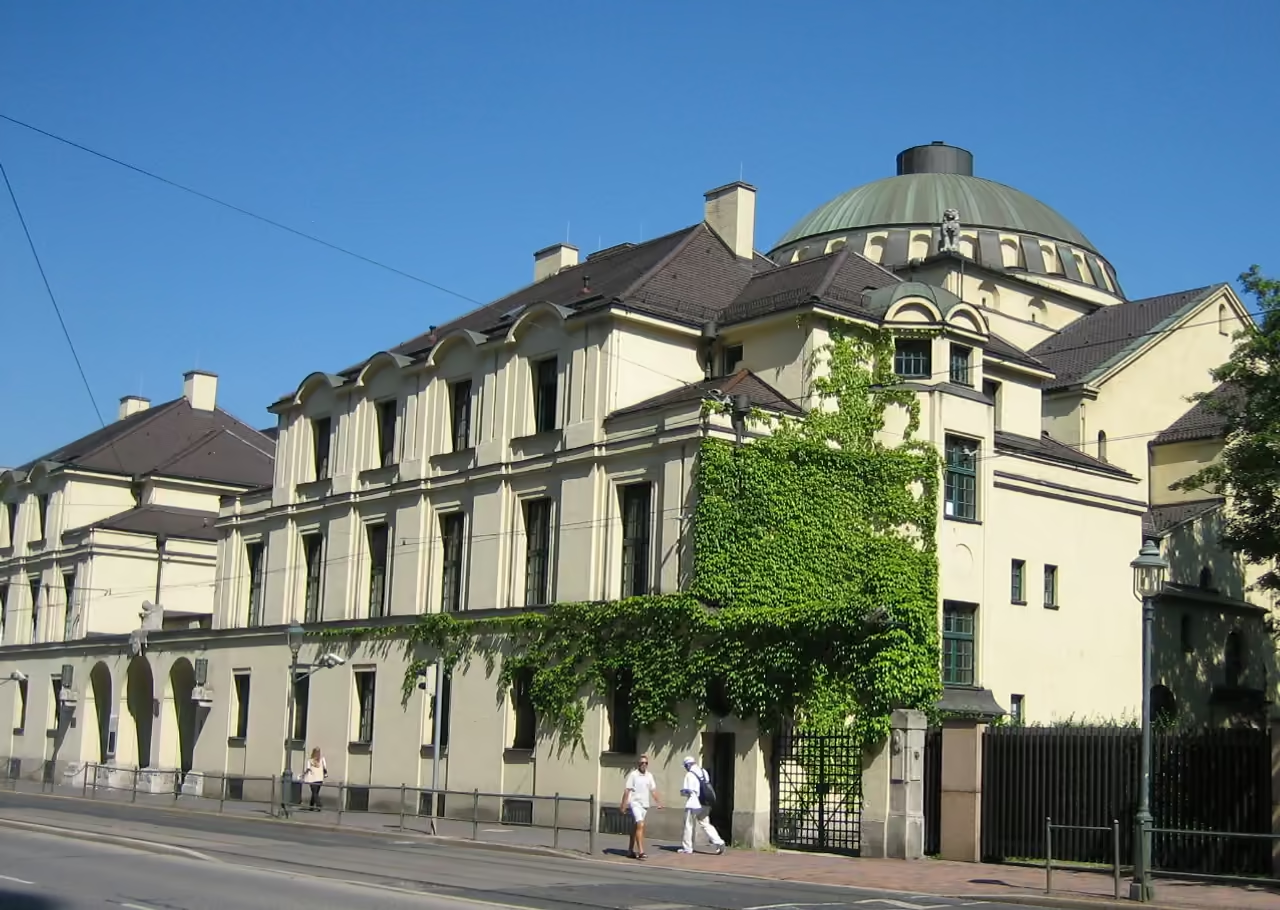 2324m
Augsburg Synagogue
A strikingly beautiful, highly ornate Jewish place of worship featuring massive Art Nouveau and subtle Oriental architectural elements. Miraculously, the heavy stone building survived the extreme violence of the Nazi regime mostly intact, a rarity for large urban synagogues in Germany. Today, it serves an active congregation while also housing a deeply moving museum documenting the local Jewish community's history. The towering central dome and intricate interior details are visually overwhelming. Security requires visitors to ring a bell and undergo a quick check before entering.
highlight view
Explore Similar Places in This Collection
See all nature & parks in Augsburg
Including Augsburg Botanical Garden, River Lech, Wittelsbacher Park, and more