Miribel-Jonage Grand Park
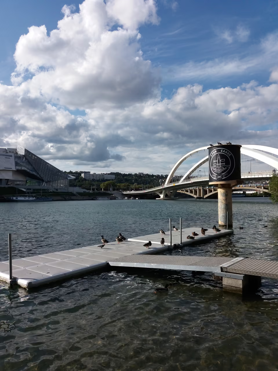
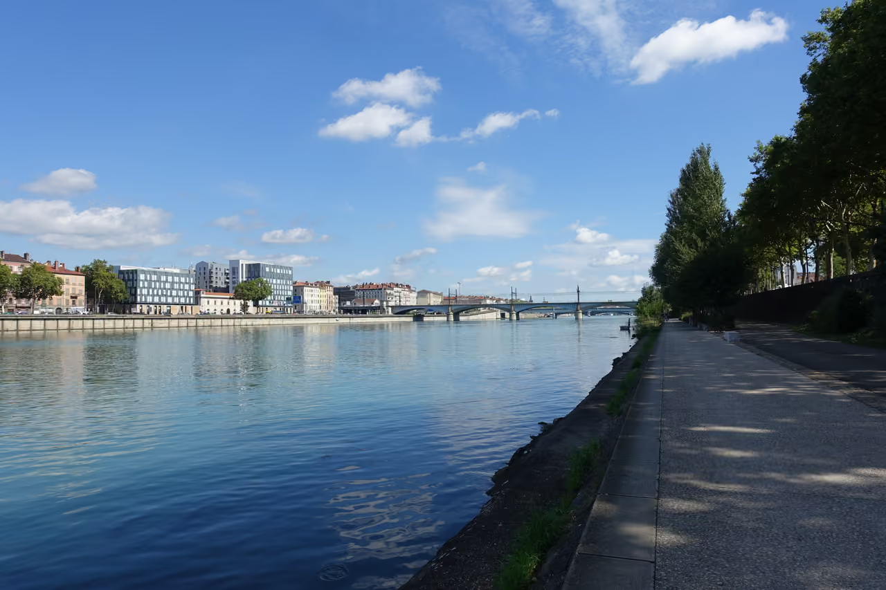
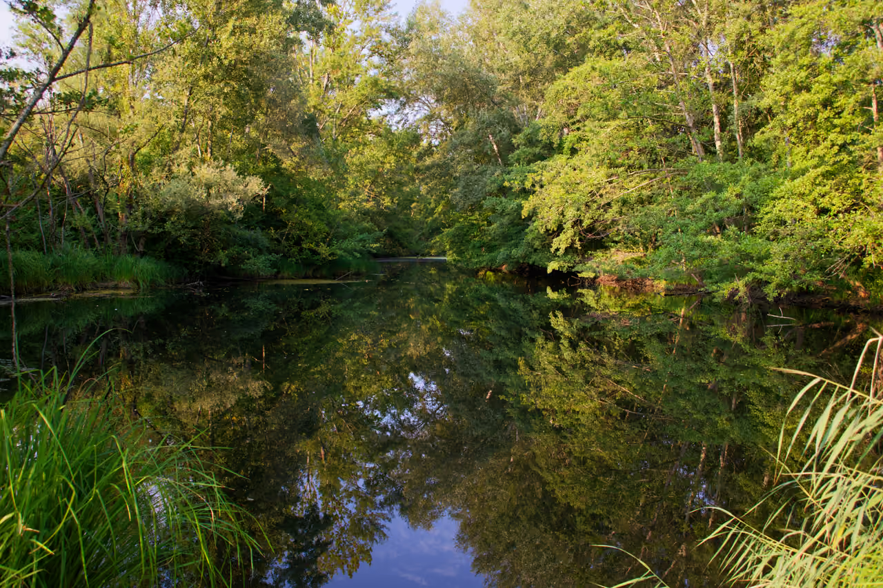
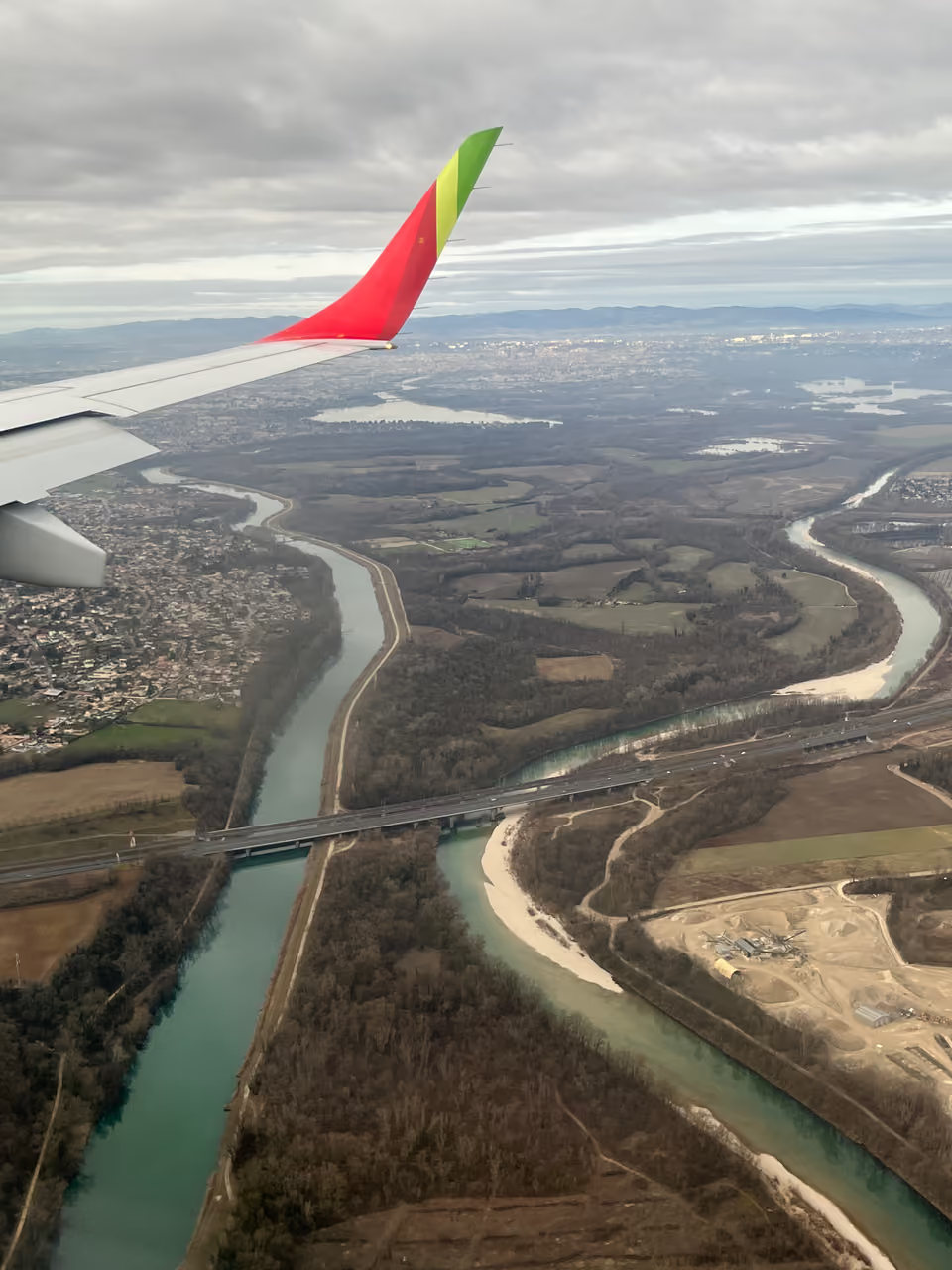
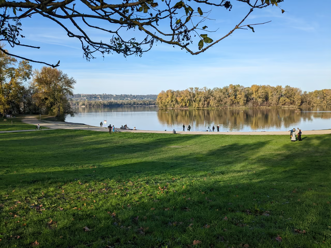
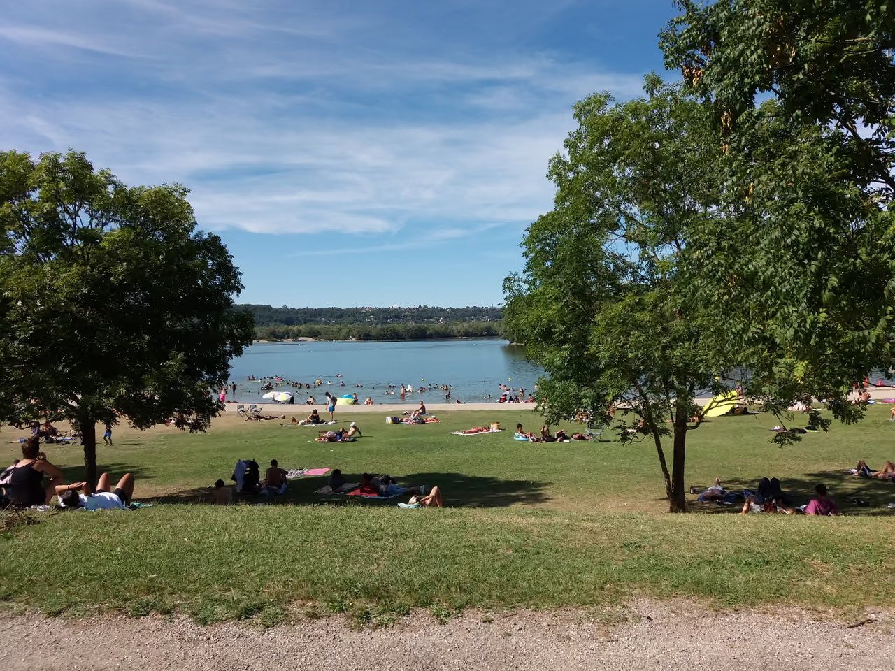
Just a short ride east of Lyon's ring road sits a 2,200-hectare wetland expanse where motorway noise drops away into willow scrub and chalky blue water. Lac des Eaux Bleues anchors the park, ringed by wide pebble shores where city dwellers cool off during sweltering summer afternoons. Kayakers glide across open expanses while long-distance cyclists follow the ViaRhôna trail beneath shady ash canopies. Popular beachheads like Plage du Morlet fill quickly on scorching July weekends, yet walking twenty minutes south along the Vieux Rhône leads to tranquil gravel bars and marshland bird hides. L'Atol sports centre supplies paddleboards, catamarans, and mountain bikes to explore trails that run for kilometres without meeting a single car.
Videos
History of Miribel-Jonage Grand Park
The braided Rhône once moved across this wide valley with unpredictable ferocity. Alpine snowmelt tore through the basin each spring, heaping gravel into wandering sandbanks and scouring out shallow secondary channels known locally as lônes. Willows took root and drowned with every shift in the river's mood. Human settlements kept their distance, viewing the marshy floodplain as hazardous territory that belonged entirely to fish, wildfowl, and mud. Nineteenth-century industrial ambition transformed this untamed landscape through two audacious civil engineering feats. Workers excavated the northern Canal de Miribel between 1848 and 1857 to establish a predictable shipping lane away from the treacherous sandbars. Four decades later, engineers cut the southern Canal de Jonage to feed the churning turbines of the Cusset hydroelectric plant. These deep twin cuts hemmed in twenty-eight square kilometres of alluvial land, creating an artificial island cut off from both riverbanks. Concrete nearly consumed the island during the post-war building boom. In the early 1960s, city authorities drew up plans to carpet the terrain with office towers and high-speed junctions. The scheme envisioned an American-style corporate city organised around a decorative basin. Lyon instead chose to redevelop the old military barracks at La Part-Dieu for its commercial district, abruptly sparing the river island from the wrecking ball. Eleven local communes united in 1968 under a shared public syndicate to protect the open land. To finance their vision, authorities permitted commercial quarrying, turning gravel pits into cash cows for the region's construction projects. Industrial draglines carved massive trenches into the earth for decades, but as the underlying water table welled up through the gravel floor, those pits filled with clear, turquoise groundwater. The scars left by heavy earthmovers transformed into Lac des Eaux Bleues and Lac de la Forestière. Ecological thinking replaced extraction by the 1990s, sealing the park's status as a protected nature reserve and emergency flood basin. The last quarry shut down in 2016, leaving behind quiet backwaters where European beavers gnaw poplars and grey herons hunt across restored gravel flats.
8 events spanning 174 years
Fun Facts
- • Beneath the gravel beds and reed swamps lies the strategic drinking water aquifer that supplies tap water to the entire metropolitan population of Lyon.
- • Covering 2,200 hectares, the park is six times the size of New York's Central Park and easily encompasses more open terrain than Lyon's urban core green spaces combined.
- • Director Charlotte Brändström selected the park's isolated gravel tracks and thick willow groves as the mood-setting primary filming location for the 2015 television mystery drama Disparue.
- • Four historic farmsteads predated the park's creation, with Ferme des Allivoz surviving as an active educational agricultural centre focusing on organic cereal farming and biodiversity.
- • Planners in the 1960s originally drew blueprints to cover this vast green belt in concrete office towers and highways before opting to build the business hub at La Part-Dieu instead.
- • Sections of the park preserve braided river loops called lônes, which represent some of the last surviving examples of how the Rhône flowed naturally before modern canalisation.
- • The expansive Lac des Eaux Bleues is not a natural tarn; it was excavated over decades by heavy industrial quarrying that dug up gravel to supply concrete for Lyon's apartment towers.
- • The park acts as a vital regional pressure valve through the Herbens spillway, deliberately swallowing millions of cubic metres of Rhône overflow during storms to prevent downstream neighbourhoods from flooding.
- • The park is managed through a rare collaboration that crosses department lines, bringing together the Rhône and Ain administrations alongside eleven separate municipal councils.
- • The site sits along the ViaRhôna, an international cycle highway linking Lake Geneva directly to the Mediterranean shoreline.
Miribel-Jonage Grand Park FAQ
While we strive to keep this information accurate and up to date, we recommend verifying any details independently before making decisions based on them.
Miribel-Jonage Grand Park Map & Neighborhood Explorer
This interactive map is centered on Miribel-Jonage Grand Park. Zoom in and move the map around to automatically discover Wikipedia photos and summaries of other nearby sights, monuments, and historical points of interest and stories in real-time!
Places near Miribel-Jonage Grand Park
Make the most of your trip. Check out these top-rated spots located nearby.
 5834m
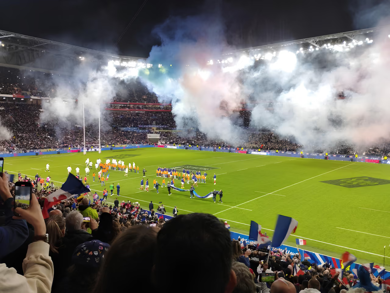
5834mCatch an Olympique Lyonnais Match
Football is a serious local passion, and Olympique Lyonnais plays at the Groupama Stadium in Décines, east of the city. The men's team is a long-standing force in French football, and the women's team has dominated the European game for years. Match days bring tram-loads of supporters in red and blue.
highlight view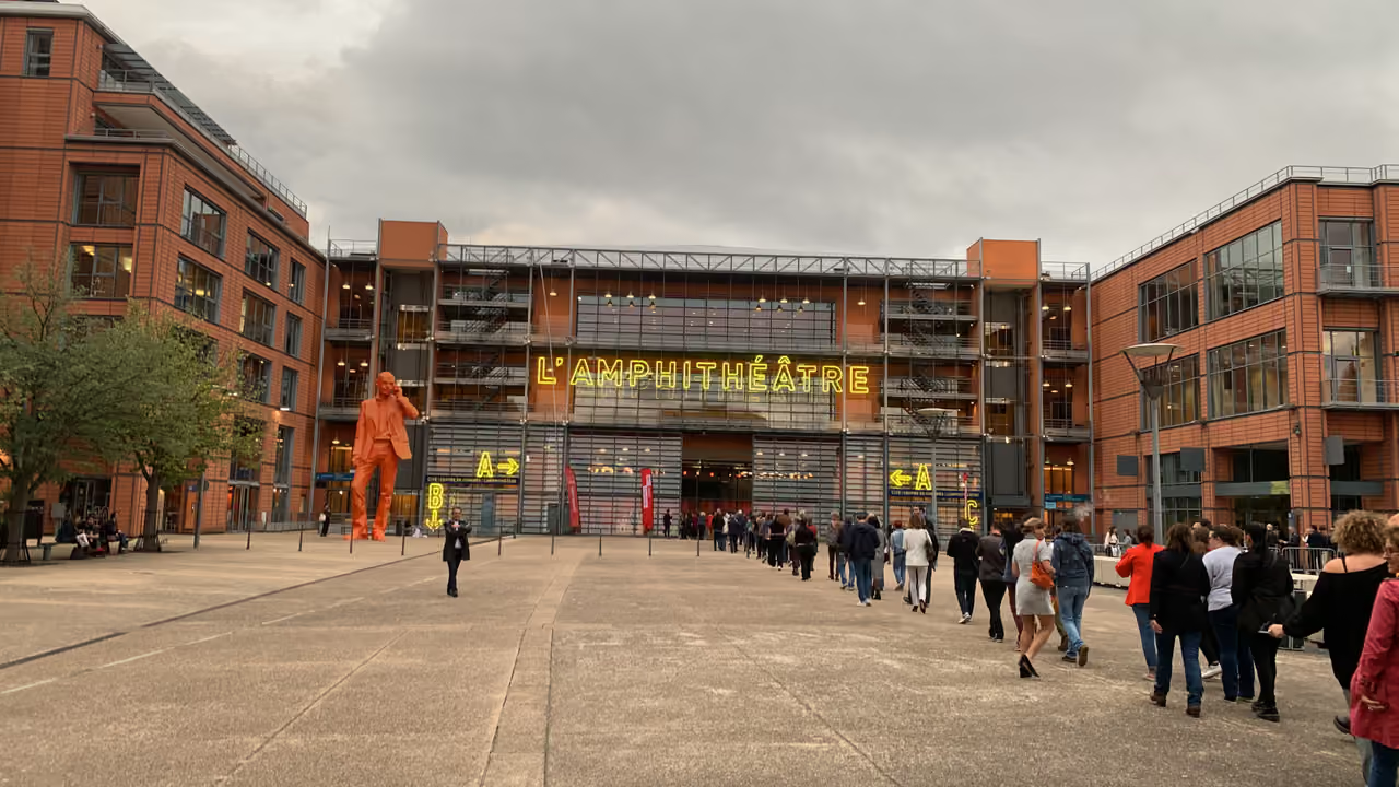 6795m
6795mInternational City
Italian architect Renzo Piano curved a long, sweeping complex of terracotta-coloured pavilions directly along the arc of the Rhône river. A glass-covered pedestrian street runs the entire length of the complex, separating the office blocks from the massive public park. The double-skin glass facades regulate temperature while reflecting the surrounding trees. A massive amphitheatre anchors one end, mimicking the shape of the ancient Roman ruins across town. It represents a highly controlled, unified piece of contemporary urban design.
architecture view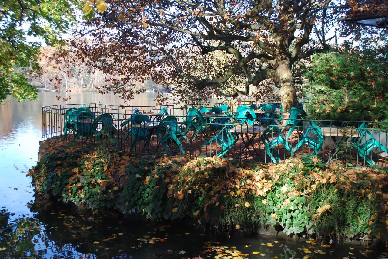 6991m
6991mTête d'Or Park
The grand wrought iron gates at the Porte des Enfants du Rhône open into a massive expanse of greenery that functions as the communal back garden of the city. The sudden roar of a lion or the chatter of flamingos often drifts across the lake, an auditory surprise courtesy of the free zoological park operating directly in the middle of the grounds. Families spread out picnic blankets under century old cedar trees while cyclists navigate the wide paved paths curving around the sixteen hectare boating lake. Stepping into the Grandes Serres feels like changing continents, as the humid air clings to enormous Amazonian water lilies and towering palm trees housed within the nineteenth century glass structures. There is usually a gentle scramble for the best pedal boats on sunny afternoons, a minor ritual that locals accept as part of the weekend charm. The sheer scale of the estate allows for crowded Sunday promenades near the famous Guignol puppet theatre to exist simultaneously with absolute quiet in the far corners of the botanical gardens.
park & nature view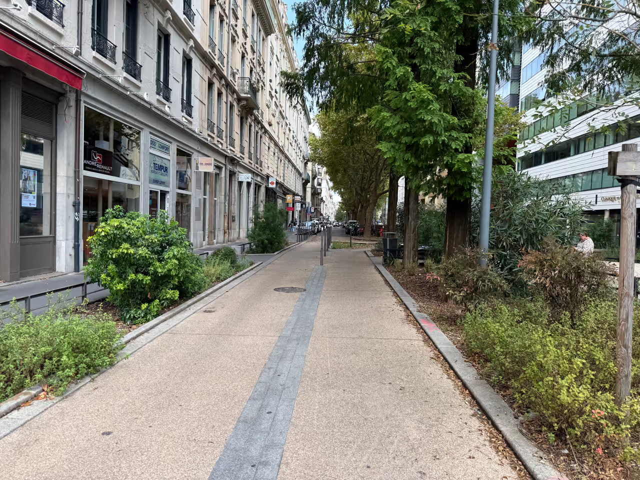 7525m
7525mBrotteaux District
High-end cocktail lounges and expensive clubs cluster around the ornate former train station in the city's wealthiest district. Men in tailored jackets and women in heels step out of taxis directly into velvet-roped entrances. The drinks menus feature premium spirits, champagne, and complex mixology. Interiors are polished, heavily designed, and clearly aimed at a clientele with money to spend. It is the destination for dressing up and being seen.
nightlife view
Featured on This Route
See all nature & parks in Lyon
Including Tête d'Or Park, Garden of Curiosities, Gerland Henry-Chabert Park, and more