Reghaïa
Reghaïa offers a captivating blend of natural beauty and modern life on the outskirts of Algiers. This municipality is famous for its Ramsar recognised wetland, a sanctuary for migratory birds that provides a tranquil escape from the urban pace. Beyond the verdant marshes, you can discover sandy beaches and the intriguing offshore island of Hadjrat Bounattah. The area balances this serene environment with a lively industrial and commercial sector, demonstrating the dynamic spirit of modern Algeria. Whether you are seeking a moment of peace by the water or a glimpse into the regional infrastructure, this location provides a unique perspective on the Algiers landscape. It serves as a vital transport hub and a testament to the growth and evolution of the Algiers province.
History of Reghaïa
The history of Reghaïa is rooted in the movement of people and the transformation of land. Originally known as a region influenced by the Ouled Hadjadj tribe, the area saw a major shift during the colonial era when it was established as a district under Napoleon III. Large swathes of land were transformed into agricultural colonies, set up by French settler families who shaped the local economy for decades. These agricultural beginnings laid the groundwork for the community that stands today, even as the landscape underwent significant physical changes over time. In 1974, Reghaïa officially emerged as an independent municipality, separating from the surrounding area of Rouïba. This path was complex, as the region experienced several administrative reconfigurations in the following years. Boundary adjustments, particularly during the 1980s and late 1990s, saw parts of its territory redistributed as the broader Algiers province evolved. These shifts were part of the growing pains of a region tasked with managing both expanding industrial zones and preserving its unique natural coastal assets. Today, Reghaïa stands as a pivotal point within the Algiers province. It functions as a critical junction for rail travel and hosts significant industrial activity, including major international brands. Beyond the commerce, the municipality serves as a centre for higher military education, specifically for air defence. Its modern identity is defined by this duality where the quiet, protected ecosystems of its famous lake and coastal marshes coexist with the energetic pulse of a major transit and industrial hub.
Events spanning 140 years
Fun Facts
- • Reghaïa station holds the title of the third main railway station in the Algiers district, linking the capital to eastern cities like Béjaïa, Constantine, and Annaba.
- • The Réghaïa Lake is one of the few Ramsar protected wetlands in the region, serving as a critical sanctuary for migratory birds and local biodiversity.
- • The area is positioned on the northern edge of the Mitidja plain, a region historically prized for its fertile agricultural potential.
- • The island known as Hadjrat Bounattah, or Ile Agueli, lies just one kilometre from the coast and provides a unique geological feature to the local shoreline.
- • The local industrial park covers a massive 1,000 hectares and serves as a significant engine for the local economy, hosting international brands like Danone and Citroën.
- • The municipality hosts the higher military school for the Territorial Air Defence Forces, which provides advanced engineering training for the nation.
- • The original name of the area, Re Agha, reflects the historical significance of the region during the era of the Agha.
- • The transport network here is highly significant, with the local bus station acting as a primary transit hub for commuters from surrounding municipalities like Heraoua and Ouled Hadadj.
Reghaïa FAQ
While we strive to keep this information accurate and up to date, we recommend verifying any details independently before making decisions based on them.
Reghaïa Map & Neighborhood Explorer
This interactive map is centered on Reghaïa. Zoom in and move the map around to automatically discover Wikipedia photos and summaries of other nearby sights, monuments, and historical points of interest and stories in real-time!
Places near Reghaïa
Make the most of your trip. Check out these top-rated spots located nearby.
- 11099m
Aquafortland
As the very first water park built in the country, this attraction offers a fun and family friendly escape from the intense summer heat. It features multiple pools, thrilling water slides and dedicated play areas for younger children. The atmosphere is loud, joyful and completely focused on leisure, providing a stark contrast to the historical sightseeing in the centre. It is incredibly popular with local families on weekends and holidays. The park offers a relaxed environment where you can cool off and enjoy casual dining options on site. It highlights the modern recreational developments taking place in the suburban areas.
highlight view - 16597m
Algiers International Fair
This massive annual exhibition transforms the city into a major hub for global trade, culture and technological exchange. Pavilions from dozens of different countries showcase everything from traditional handicrafts to cutting edge industrial innovations. It acts as a fascinating crossroads where international delegations mingle with curious local families enjoying a day out. Beyond the business aspect, there are numerous cultural performances, food stalls and interactive displays to explore. It highlights the modern, outward looking ambitions of the capital. The energy in the exhibition halls is incredibly contagious.
festival view 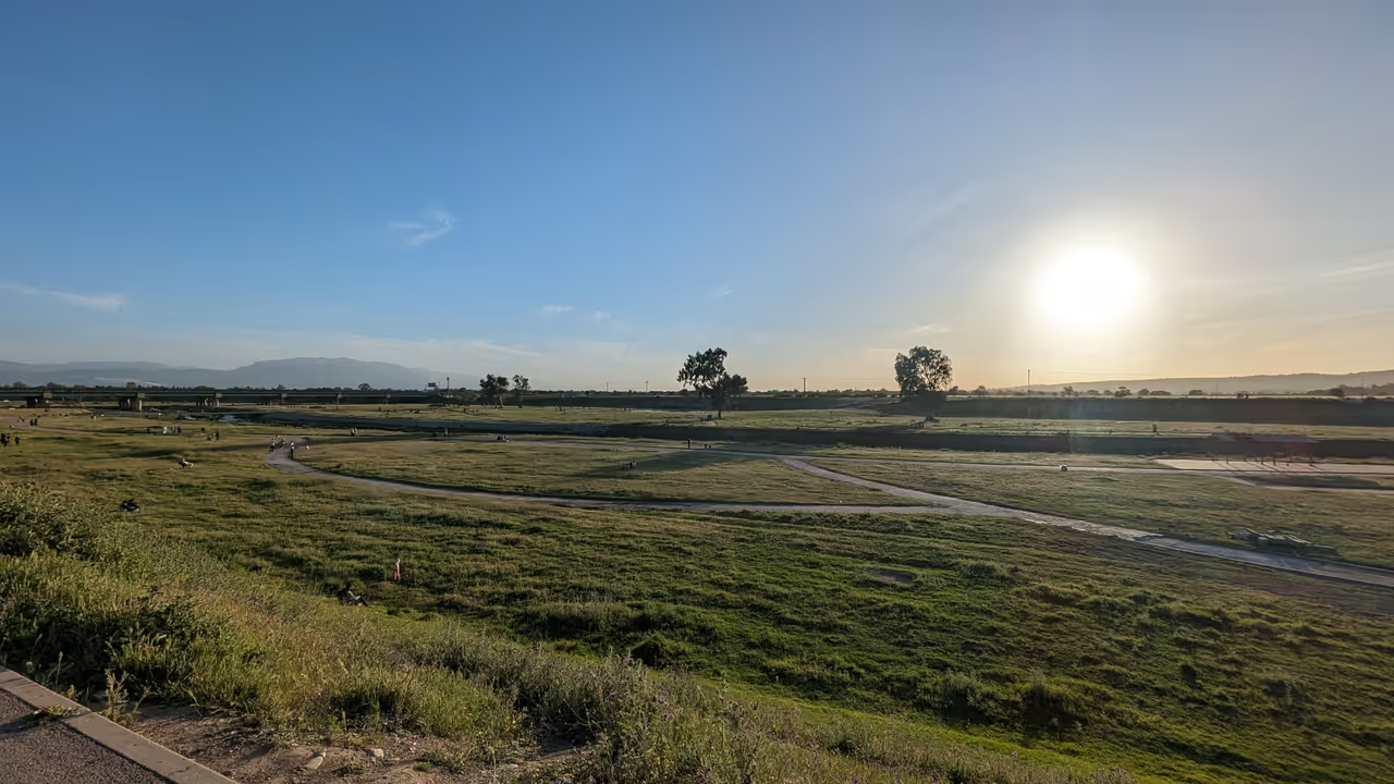 17963m
El Harrach
El Harrach is a vibrant and essential suburb of Algiers that offers a unique glimpse into the authentic pulse of the Algerian capital. Formerly known as Maison-Carrée, this area has transitioned from its origins as a strategic Ottoman outpost into a lively urban centre with a deeply rooted identity. Visitors can explore the passionate football culture surrounding USM El Harrach or take in the impressive academic heritage found at the Higher National Veterinary School. Recent efforts to rejuvenate the riverbanks of the Oued El Harrach have breathed new life into the area, creating green spaces that invite locals and curious travellers to connect with the landscape. It is a place where history meets the everyday energy of modern Algerian life, providing an experience that feels genuine and unhurried.
park & nature view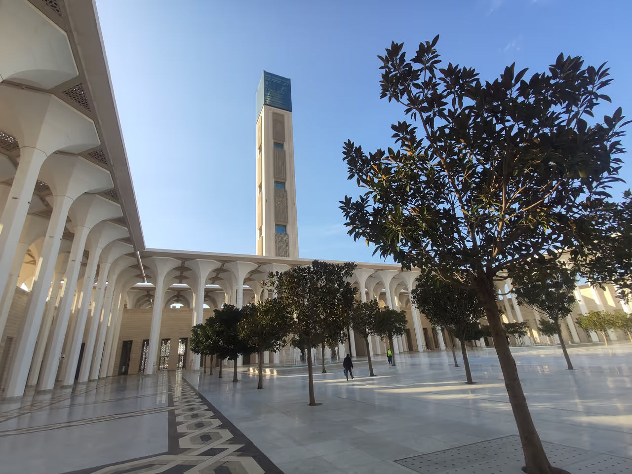 18183m
Great Mosque of Algiers
Rising above the Algiers skyline, the Great Mosque of Algiers is a breathtaking feat of modern engineering and Islamic architecture. As the third largest mosque in the world, it offers an awe inspiring experience for any visitor. The sheer scale of the prayer hall and the meticulous detail of the laser engraved calligraphy create an atmosphere of profound serenity and beauty. Visitors can explore the vast complex, which includes a museum and a library, or take in panoramic views of the Mediterranean Sea from the observation deck of the world's tallest minaret. This landmark stands as a bold, contemporary expression of Algerian faith and cultural identity. Walking through its halls, one cannot help but feel the gravity and grand ambition that brought this monumental project to life.
attraction view
See all nature & parks in Algiers
Jardin d'Essai du Hamma, Bologhine, Bouzaréah, El Harrach...