Medieval City Walls & Moat
Walking RouteTracing the perimeter of the medieval core, this path follows the remarkably preserved sandstone fortifications. The walk weaves between heavy defensive towers, deep dry moats, and massive wooden gates that once protected the imperial wealth inside. Certain sections allow walkers to climb up and stroll along the elevated wooden ramparts, peering down into the old town streets. The route constantly shifts perspectives, passing the imposing opera house on one side and quiet, ivy-draped residential alleys on the other. It provides a profound sense of the city's historical scale and defensive ingenuity.
SURFACE BREAKDOWN
ELEVATION PROFILE
WHY WE LOVE THIS ROUTE
No other walk offers such a comprehensive, tactile understanding of the city's medieval power and its dramatic boundary between old and new.
WALKER'S FIELD NOTES
- • Avoid the inner side of the wall between the Färbertor and Spittlertor, as this section runs directly through the red-light district.
- • The elevated walkway behind the castle is only open during daylight hours.
- 1WAYPOINT
Castle Bastions
BURGBASTEIENHeavy artillery platforms jut out from the bedrock at the highest point of the fortifications. The elevated gardens here provide sweeping, unobstructed views over the red roofs of the northern old town.
FULL PLACE DETAILS
ARCHITECTURE & HERITAGE
- Heritage Status
- Architectural Heritage Monument In Bavaria
to next stop - 2ARCHITECTURE
Chain Bridge
KETTENSTEGA narrow, iron suspension bridge hangs low over the river where the water breaches the western walls. The wooden planks rattle slightly underfoot, offering excellent views of the half-timbered houses upstream.
FULL PLACE DETAILS
ARCHITECTURE & HERITAGE
- Heritage Status
- Architectural Heritage Monument In Bavaria
to next stop - 3WAYPOINT
Spittler Gate
SPITTLERTORThis formidable tower anchors the southwestern corner of the fortifications near a busy traffic hub. The adjacent dry moat features a wide, grassy trench often used by locals for sunbathing.
to next stop - 4WAYPOINT
Women's Gate
FRAUENTORA massive, round defensive tower guards the main pedestrian entrance opposite the central train station. The heavy stone masonry forms a striking threshold into the artisan courtyard below.
Other Walking Routes
Check out other routes in Nuremberg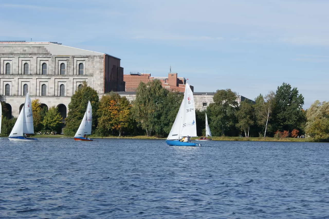
Dutzendteich & Nazi Rally Grounds
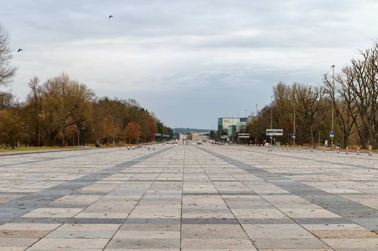
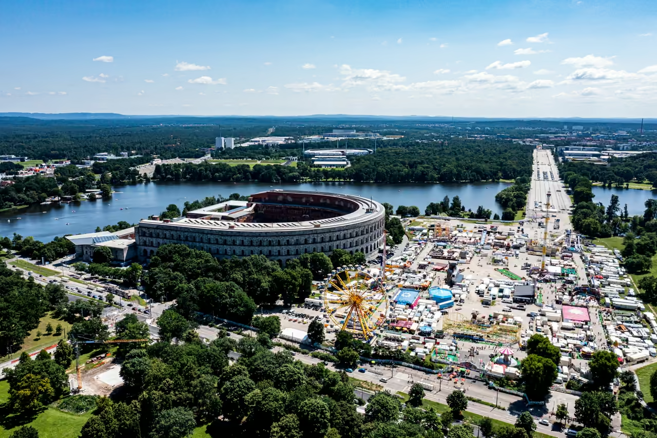
This walk circles a large, serene boating lake heavily overshadowed by the monumental, decaying ruins of fascist architecture. Wide, straight boulevards designed for military parades now serve as paths for rollerbladers and dog walkers. The sheer scale of the unfinished Congress Hall dominates the northern shore, reflecting imposingly in the water. The walk provides a stark, physical confrontation with the megalomania of the 1930s, slowly being reclaimed by nature and casual recreation. It is an expansive, thought-provoking environment.
view route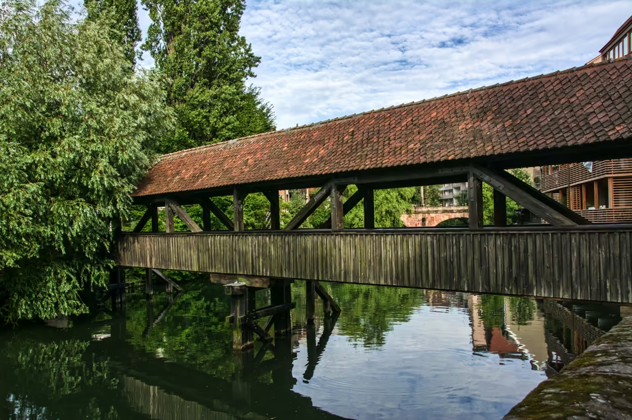
Pegnitz Riverbank Walk
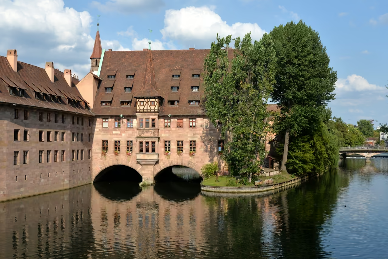
The river Pegnitz cuts a winding, picturesque path straight through the centre of the city. This stroll stays close to the water, crossing back and forth over a series of historic stone arches, iron footbridges, and wooden walkways. The architecture shifts dramatically along the route, from the heavy stone hospital straddling the water to tiny, weeping willow-draped islands holding small cafes. The sound of rushing water over small weirs masks the noise of the surrounding traffic. It feels surprisingly peaceful despite running through the busiest commercial districts.
view route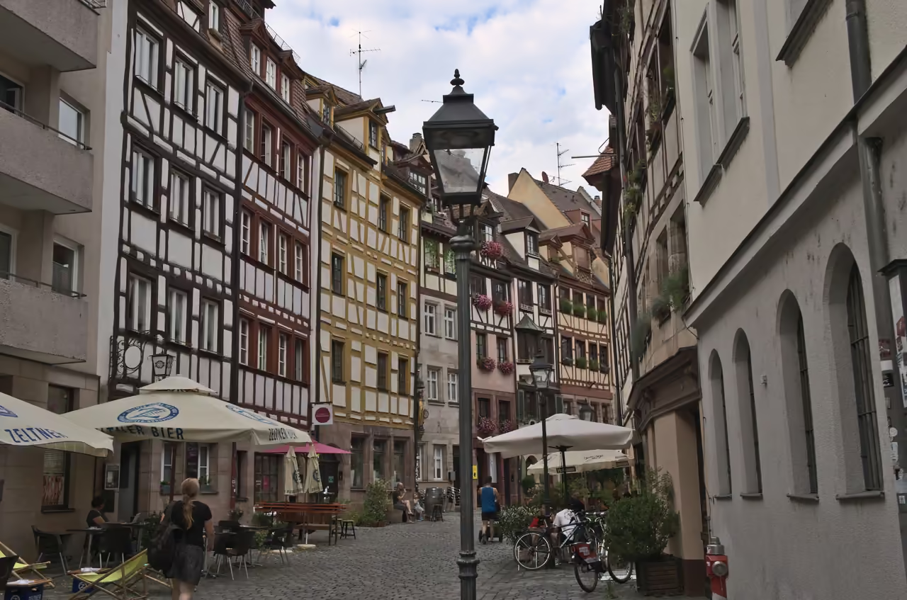
Tanners' Lane & St. Johannis Gardens
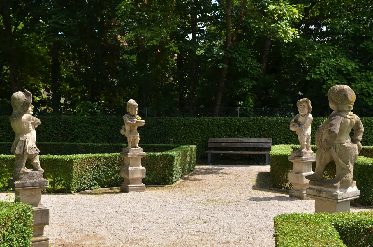
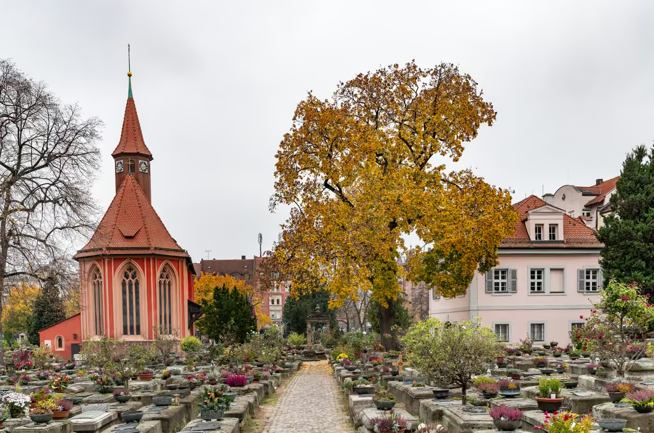
Leaving the intense half-timbered charm of the old town's most famous alley, this route pushes west through the city gates into a historic suburb. The narrow Tanners' Lane gives way to the open green spaces of the Hallerwiese park, tracing the river briefly before turning slightly north. The destination is a district historically reserved for cemeteries and summer gardens, escaping the cramped conditions inside the walls. Hidden behind unassuming stone walls are meticulous baroque gardens filled with citrus trees and statues. It provides a quiet, leafy contrast to the dense stone of the centre.
view route
Alternative Ways to Tour the City
Switch your pace. Discover curated routes by bike, foot, or self-guided exploration.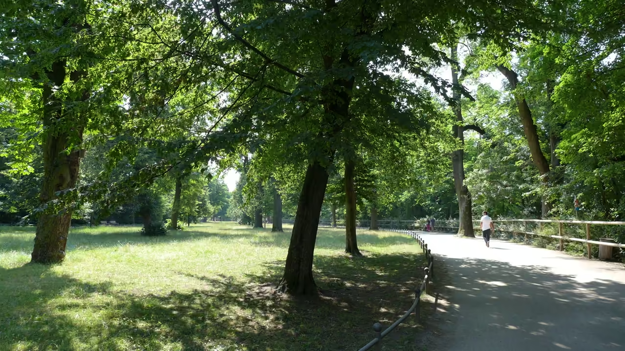
Pegnitz Meadows & River Islands
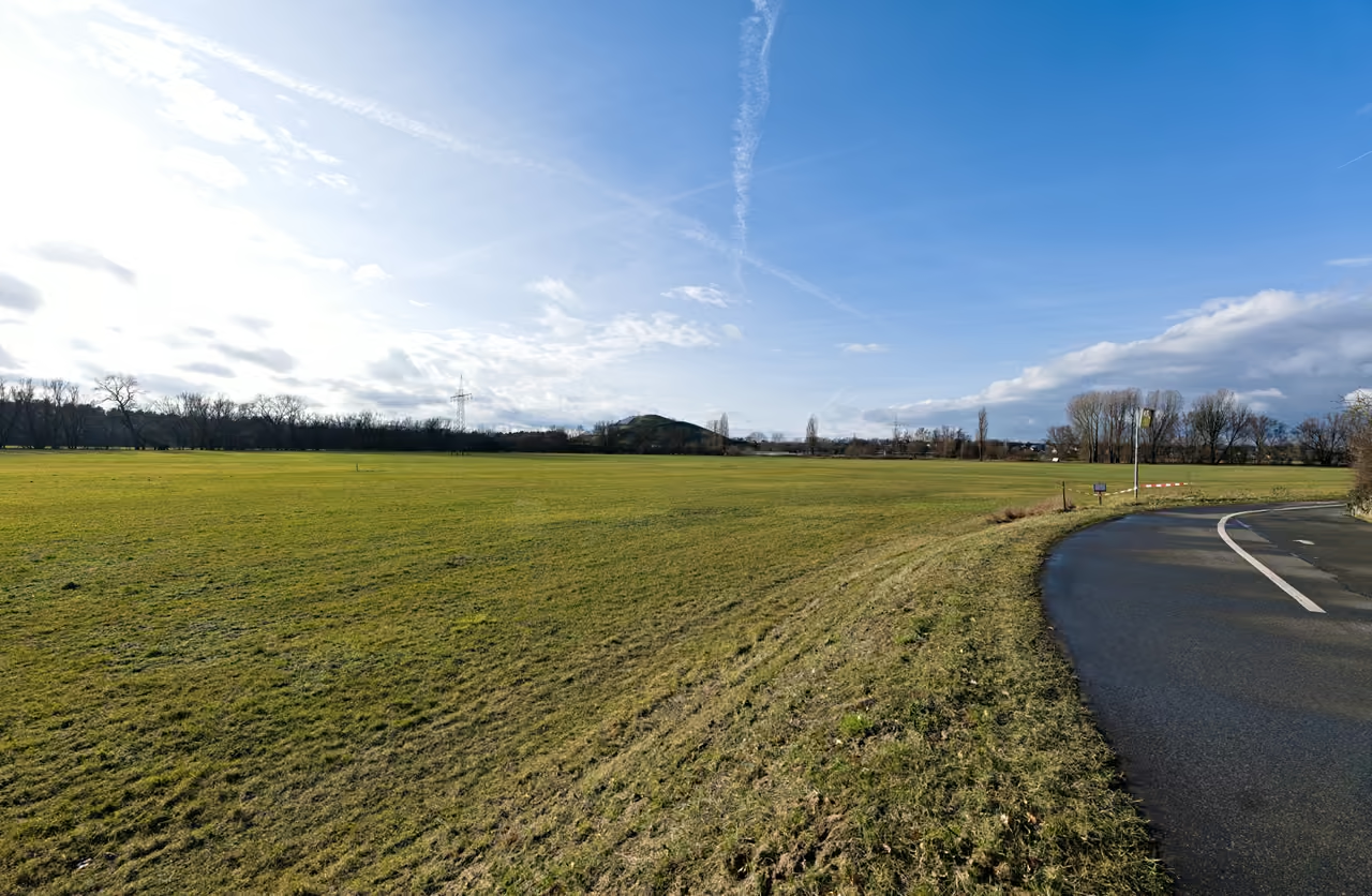
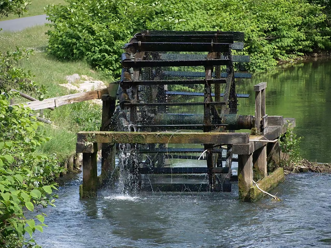
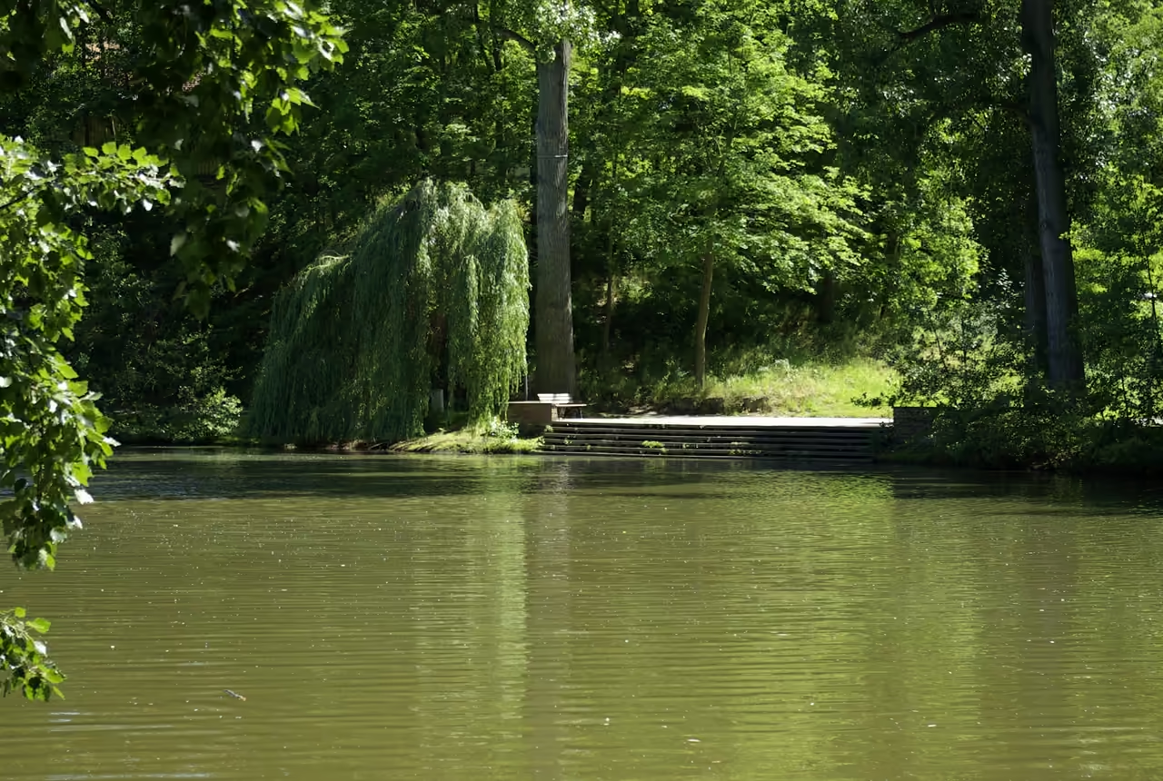
This route follows the winding course of the Pegnitz River westward out of the city centre, trading medieval stone for weeping willows and wide grassy floodplains. The paved path ducks under major roads, ensuring an almost entirely car-free experience all the way to the neighbouring city of Fürth. Cyclists share the route with joggers and dog walkers, navigating a landscape of old water wheels and small wooden footbridges. Small beer gardens pop up occasionally along the banks, providing excellent excuses to stop. The terrain remains entirely flat, making it ideal for a leisurely afternoon cruise.
Dürer Art Trail
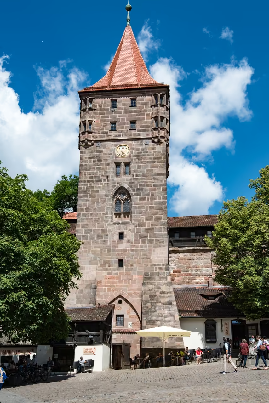
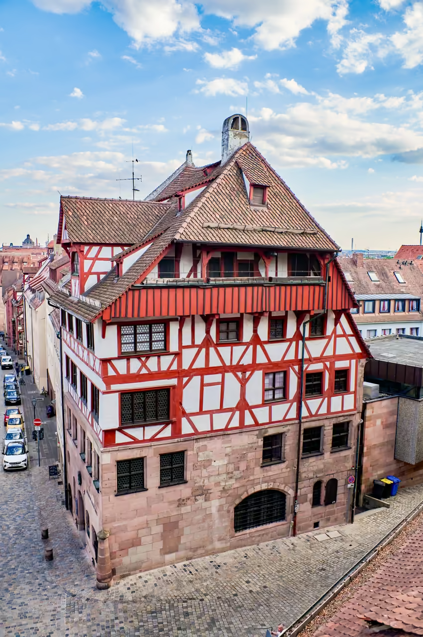
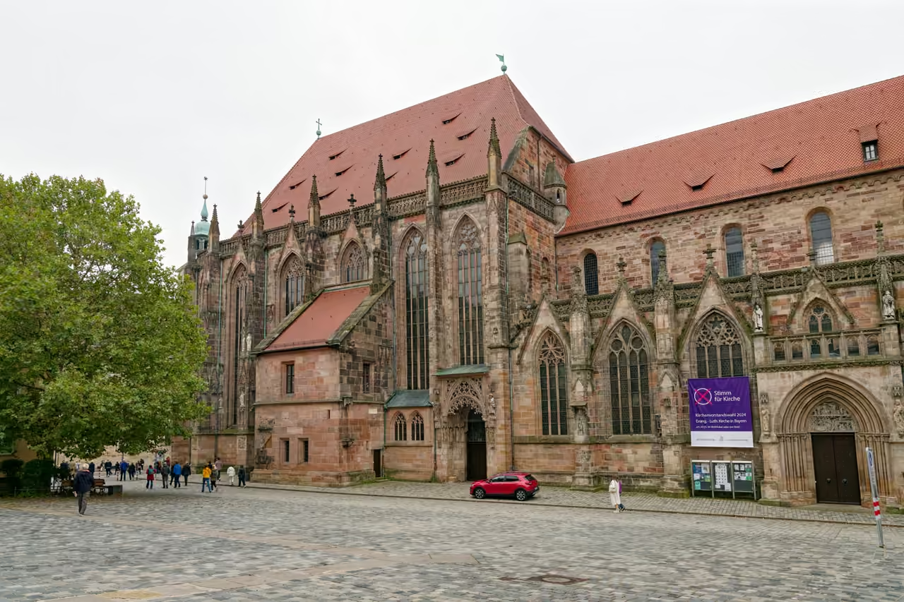
Tracing the footsteps of the city's most famous son, this route uncovers the environment that shaped the Northern Renaissance. The walk connects the heavily fortified northern district where Dürer lived with the churches and civic buildings that commissioned his work. It highlights the transition from late Gothic artisanship to the humanist ideals that swept through the city in the early 1500s. The path climbs steep, cobbled streets, peering into hidden courtyards that have barely changed since the 16th century. It offers a deep dive into the artistic wealth of the Free Imperial City.