Main-Danube Canal & Port
Cycling RouteStriking southwards, this path utilizes the wide, flat service roads running alongside the massive European shipping artery. Huge cargo barges glide silently past on the water, contrasting with the dense forest pushing up against the opposite bank. The route offers long, uninterrupted straightaways perfect for picking up speed without worrying about car traffic or complex navigation. Massive concrete locks occasionally interrupt the landscape, demonstrating the brute-force engineering required to lift ships over the continental divide. The scenery shifts from industrial ports to quiet woodland the further south you ride.
SURFACE BREAKDOWN
ELEVATION PROFILE
WHY WE LOVE THIS ROUTE
It offers an effortless, flat ride that showcases the impressive engineering of the canal while providing a fast, car-free escape into the southern forests.
RIDER'S NOTEBOOK
- • Take the western bank for afternoon shade, or the eastern bank for full sun.
- • Wind can be a factor on the open stretches of the canal; check the direction before you commit to a long ride.
- 1WAYPOINT
Lake Roth
ROTHSEEA large artificial reservoir features sandy beaches and thick surrounding forests. Sailboats drift across the surface, and several waterside kiosks sell cold drinks and snacks.
FULL PLACE DETAILS
OVERVIEW & STATS
- Elevation
- 372 m
to next stop - 2WAYPOINT
Eibach Lock
SCHLEUSE EIBACHThis monumental concrete structure raises and lowers heavy river traffic through a significant height difference. Watching a massive vessel squeeze into the chamber is a mesmerizing display of water management.
FULL PLACE DETAILS
OVERVIEW & STATS
- Established
- In 1978, making it 48 years old
- Elevation
- 331.99 m
to next stop - 3WAYPOINT
Nuremberg Port
BAYERNHAFEN NÜRNBERGMassive cranes load shipping containers onto long barges in one of southern Germany's largest freight hubs. The sheer scale of the industrial operations provides a striking visual against the water.
FULL PLACE DETAILS
WEB & AMENITIES
to next stop - 4WAYPOINT
Rednitz Canal Bridge
KANALBRÜCKE ÜBER DIE REDNITZThe modern canal physically crosses over a natural river via a large concrete aqueduct. The path runs right along the edge, offering views of the wilder water flowing beneath the engineered channel.
Other Cycling Routes
Check out other routes in Nuremberg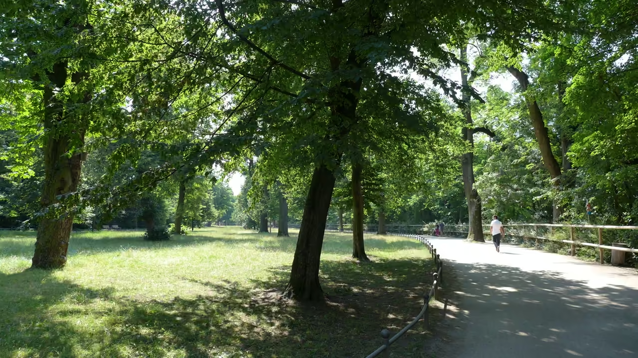
Pegnitz Meadows & River Islands
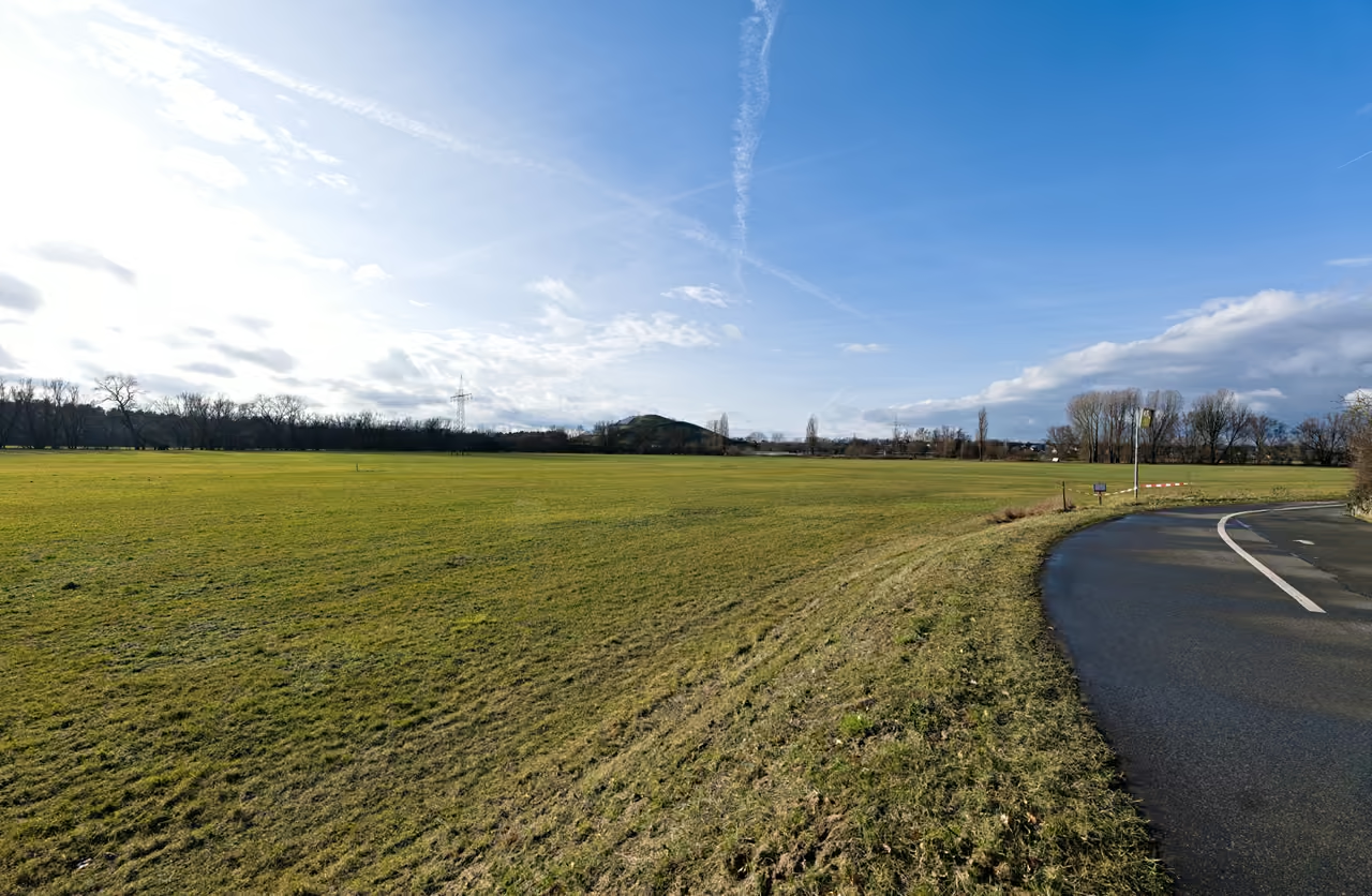
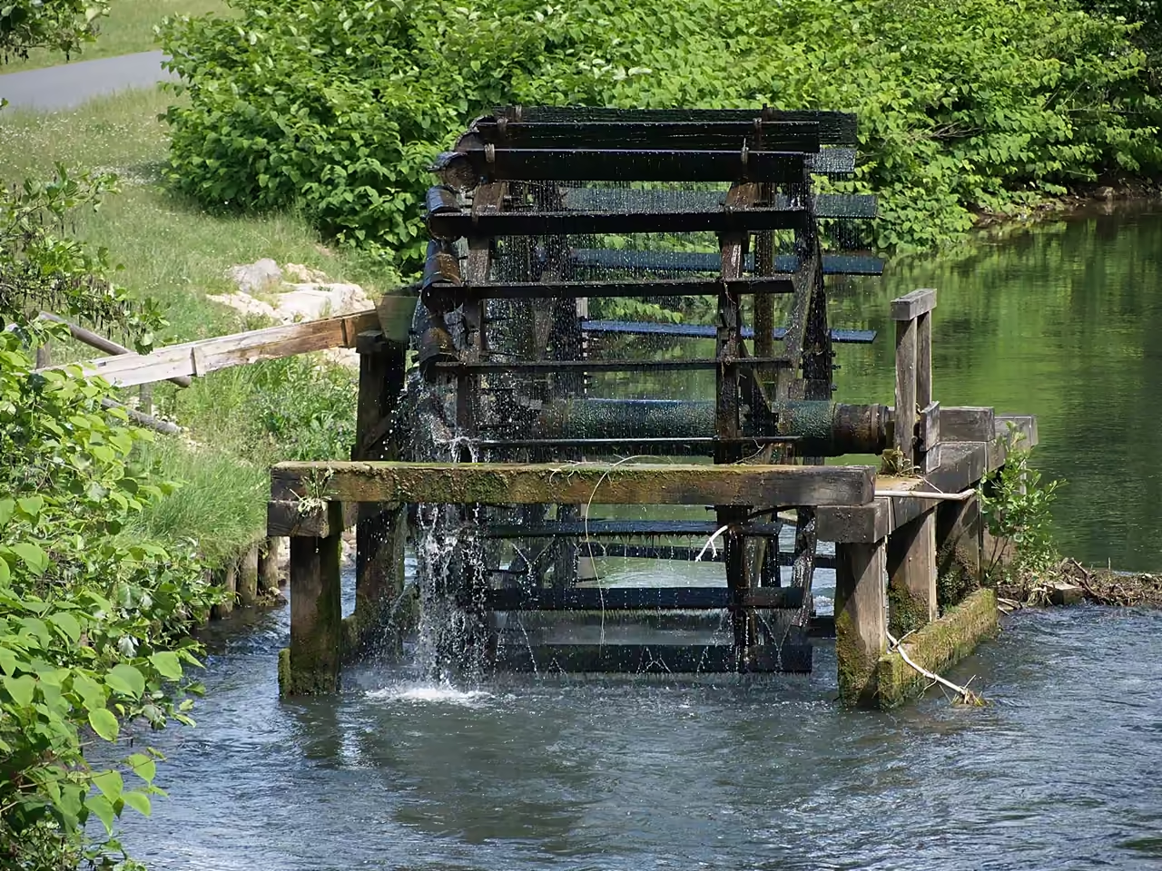
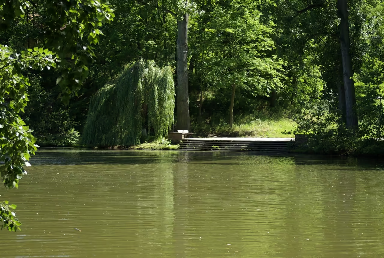
This route follows the winding course of the Pegnitz River westward out of the city centre, trading medieval stone for weeping willows and wide grassy floodplains. The paved path ducks under major roads, ensuring an almost entirely car-free experience all the way to the neighbouring city of Fürth. Cyclists share the route with joggers and dog walkers, navigating a landscape of old water wheels and small wooden footbridges. Small beer gardens pop up occasionally along the banks, providing excellent excuses to stop. The terrain remains entirely flat, making it ideal for a leisurely afternoon cruise.
view route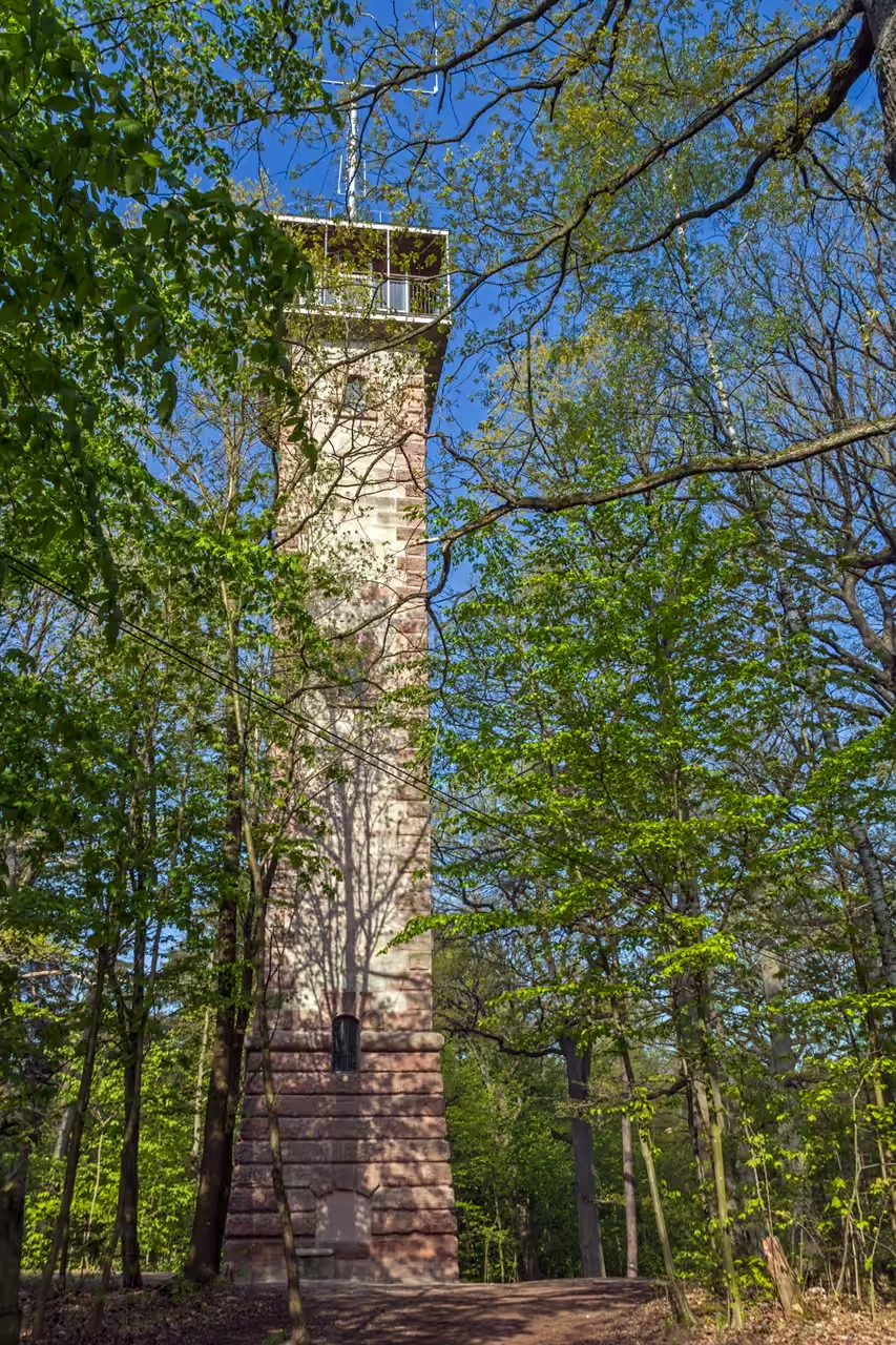
Schmausenbuck Imperial Forest
Plunging into the eastern Sebalder Reichswald, this route exchanges pavement for packed dirt and gravel trails beneath towering pine trees. The terrain rolls gently, requiring slightly more effort as it ascends the slopes of the Schmausenbuck hill. Deep shaded ravines and old sandstone quarries break up the dense woodland, creating a rugged, natural atmosphere just minutes from the urban grid. The scent of pine needles is intense, especially after rain, and the tree canopy provides excellent protection on hot summer days. The trails are wide and well-maintained, easily handled by a standard city bike with decent tires.
view route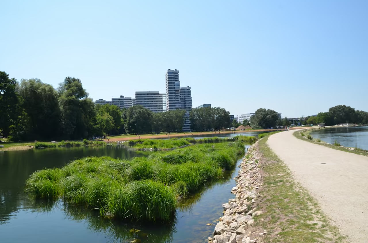
Wöhrder Lake & City Beaches
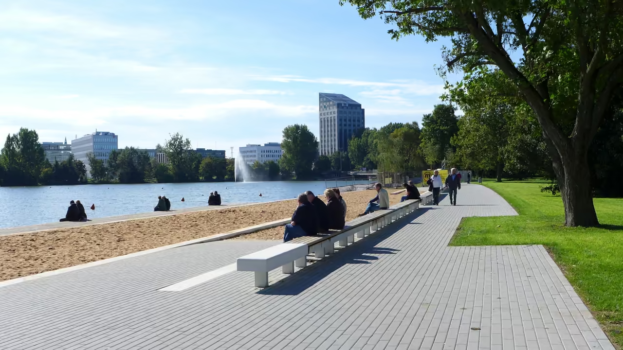
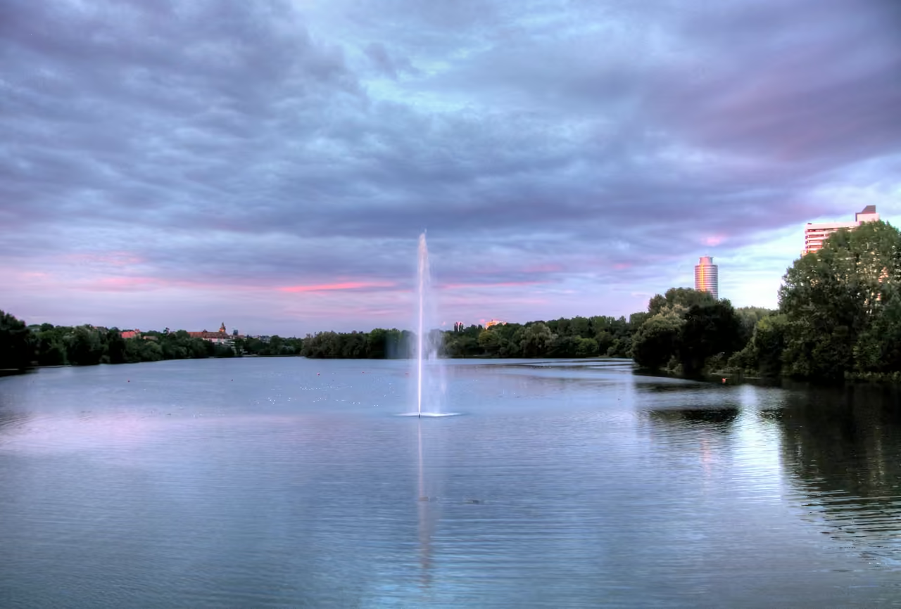
Circling the dammed lake just east of the old town, this short route prioritises views over mileage. The paved paths hug the shoreline closely, passing sandy urban beaches, modern apartment blocks, and small grassy peninsulas. It functions as a massive outdoor living room for the city, meaning cyclists must navigate around wandering pedestrians, sunbathers, and aggressive geese. The route offers fantastic, unobstructed views of the city skyline reflecting on the water. Multiple cafes and kiosks line the northern bank, making it easy to turn a short ride into a long afternoon of lounging.
view route
Alternative Ways to Tour the City
Switch your pace. Discover curated routes by bike, foot, or self-guided exploration.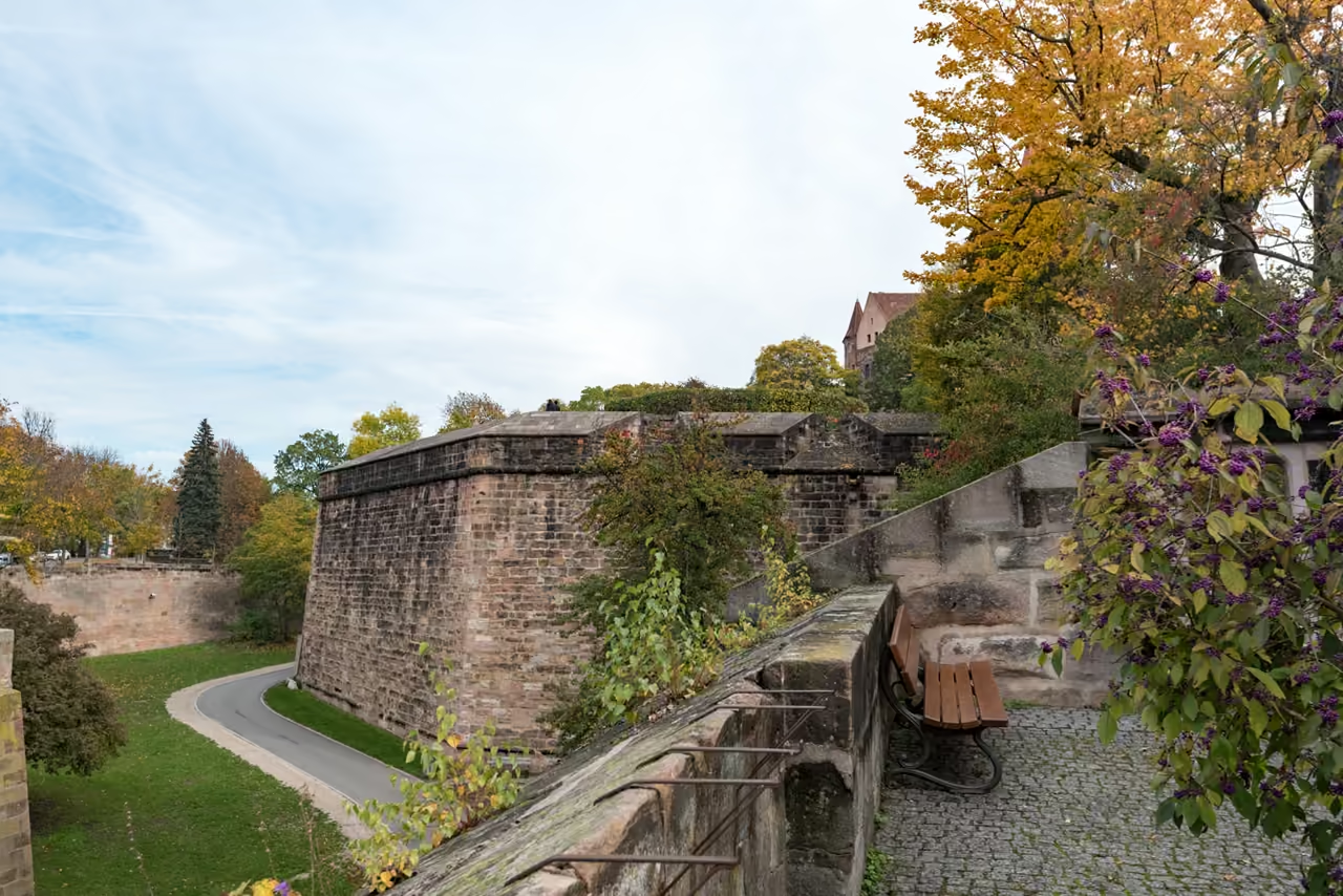
Medieval City Walls & Moat
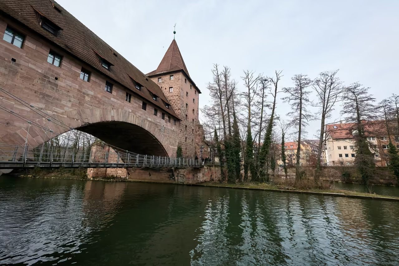
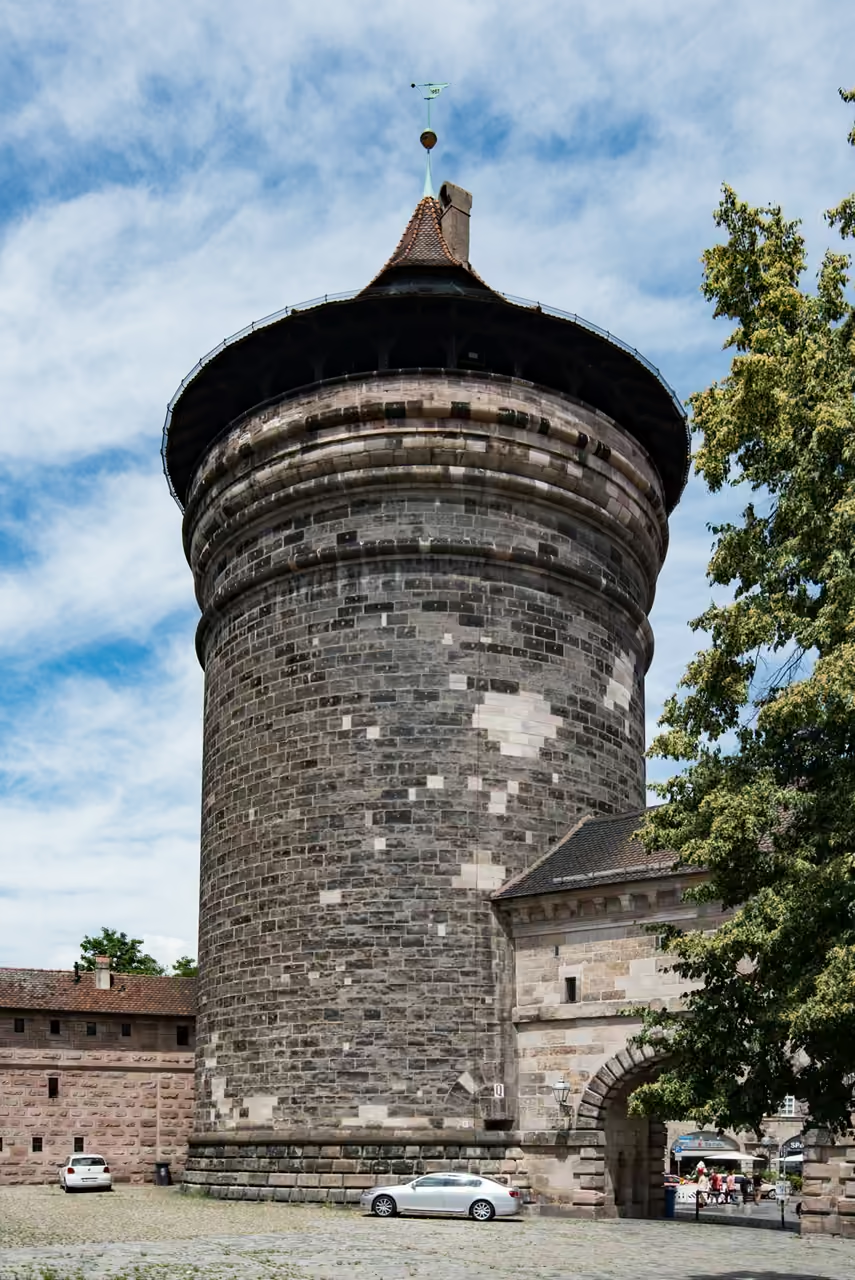
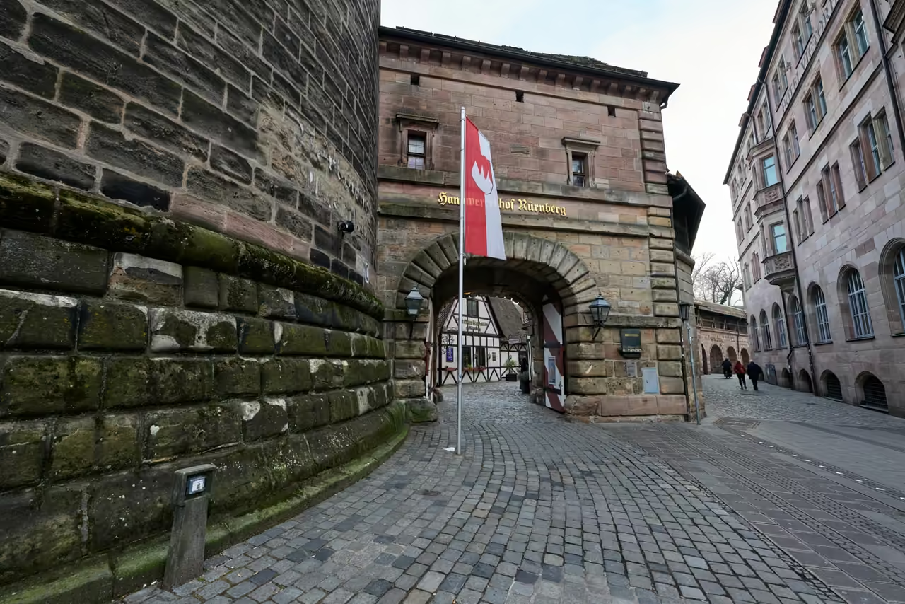
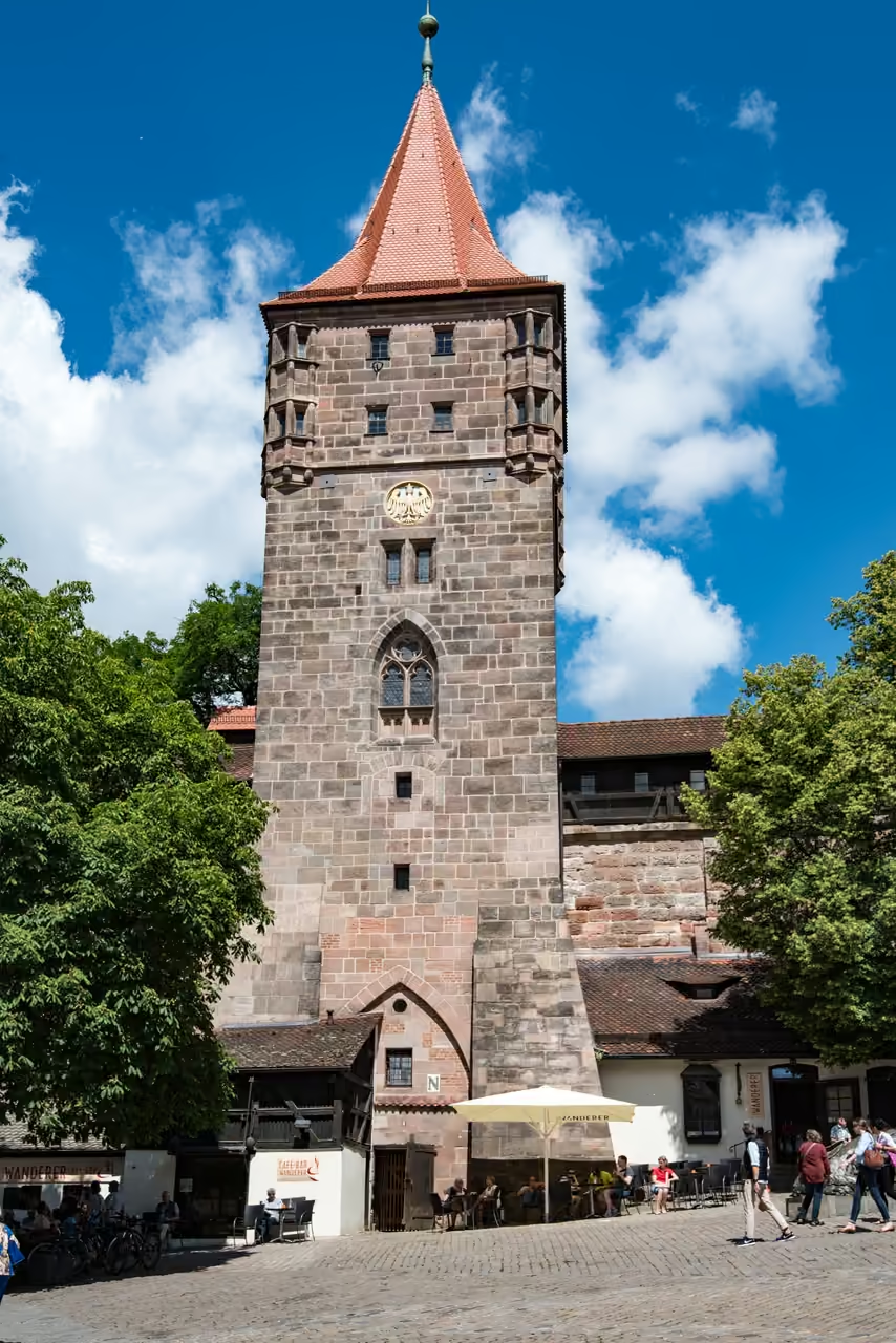
Tracing the perimeter of the medieval core, this path follows the remarkably preserved sandstone fortifications. The walk weaves between heavy defensive towers, deep dry moats, and massive wooden gates that once protected the imperial wealth inside. Certain sections allow walkers to climb up and stroll along the elevated wooden ramparts, peering down into the old town streets. The route constantly shifts perspectives, passing the imposing opera house on one side and quiet, ivy-draped residential alleys on the other. It provides a profound sense of the city's historical scale and defensive ingenuity.
Dürer Art Trail
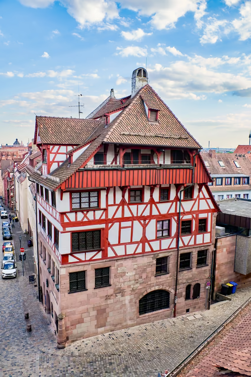
Tracing the footsteps of the city's most famous son, this route uncovers the environment that shaped the Northern Renaissance. The walk connects the heavily fortified northern district where Dürer lived with the churches and civic buildings that commissioned his work. It highlights the transition from late Gothic artisanship to the humanist ideals that swept through the city in the early 1500s. The path climbs steep, cobbled streets, peering into hidden courtyards that have barely changed since the 16th century. It offers a deep dive into the artistic wealth of the Free Imperial City.