Dahab Island
Floating right in the middle of the Nile in South Giza, this verdant farming island can only be reached by wooden commuter ferry from El-Moneeb or Maadi landings. Zero tarmac roads or cars exist on its soil; instead, quiet footpaths wind between banana clusters, guava groves, and emerald alfalfa fields beneath six-lane concrete Ring Road piers. Spend an afternoon walking dirt lanes to hear birdsong and water pumps inside Greater Cairo.
HISTORY & HIGHLIGHTS
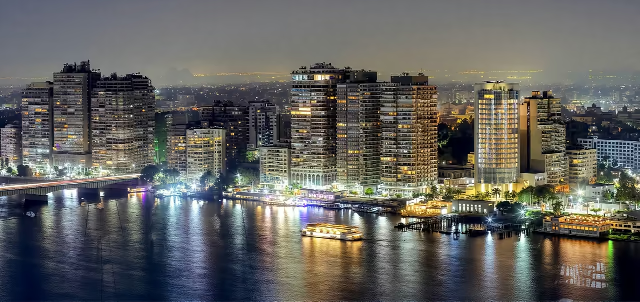
Formed gradually over centuries by rich seasonal silt carried down the Nile, Dahab Island long served as a quiet breadbasket supplying nearby river villages with crisp greens, citrus, and livestock fodder. Generations of smallholder families cultivated its fertile black loam using wooden waterwheels and small earthen ditches while ferries hauled baskets of produce straight to South Giza landings every morning. When Greater Cairo encircled the river with dense red brick neighbourhoods during the late twentieth century, concrete bridge piers for the monumental Ring Road stepped across the island in the 1990s. Yet engineers left no exit ramps down onto the soil below, accidentally shielding the island's tracks from cars, delivery vans, and paved roads. During the twenty first century, island residents repeatedly rallied in Egyptian courts and community meetings to resist commercial resort plans that threatened to replace farms with luxury hotels. Today Dahab Island remains a vibrant agricultural pocket where farmers still guide donkey carts past towering high rises across the water.
events spanning 163 years
LOCATION
FULL PLACE DETAILS
Updated
FULL PLACE DETAILS
UpdatedOVERVIEW & STATS
- Elevation
- 26 m