Nose Creek Valley Trail
Cycling RouteThis route provides a fascinating journey through a prominent valley in the northern half of the city. Following a small creek, the path cuts through green spaces that beautifully contrast with the adjacent industrial and suburban developments. It features well-designed overpasses that safely carry cyclists over major freeways. It is an excellent way to see a different, slightly quieter side of the city's geography.
SURFACE BREAKDOWN
ELEVATION PROFILE
WHY WE LOVE THIS ROUTE
It highlights the impressive urban planning that ensures even highly developed areas retain accessible, continuous green corridors for active transport and recreation.
RIDER'S NOTEBOOK
- • The northernmost sections of this trail intersect with industrial zones, so stick to the valley paths for the most scenic experience.
- • The overpasses can be steep; use lower gears when approaching the climbs.
- 1HIGHLIGHT
Creek Confluence
CONFLUENCE PARKThe area where the smaller creek finally meets the larger river creates a wide, serene environment. Large grassy hills provide an excellent backdrop for the natural water features.
FULL PLACE DETAILS
ARCHITECTURE & HERITAGE
- Heritage Status
- National Historic Site Of CanadaProvincial Historic Resource
WEB & AMENITIES
to next stop - 2ATTRACTION
Zoological Borders
CALGARY ZOO PERIMETERRiding along the southern sections provides intriguing glimpses of the large animal enclosures and botanical gardens. The path here is flanked by mature greenery and highly active pedestrian areas.
FULL PLACE DETAILS
OVERVIEW & STATS
- Established
- In 1929, making it 97 years old
WEB & AMENITIES
to next stop - 3WAYPOINT
Freeway Overpasses
PEDESTRIAN OVERPASSESPurpose-built cyclist and pedestrian bridges span high above the busy vehicular traffic below. They offer a unique, elevated perspective of the city's massive transportation arteries.
to next stop - 4WAYPOINT
Valley Parklands
NOSE CREEK PARKThe paved trail navigates through the wide, grassy basin of the valley. Small pedestrian bridges crisscross the narrow, meandering creek, creating a pleasant visual rhythm.
Other Cycling Routes
Check out other routes in Calgary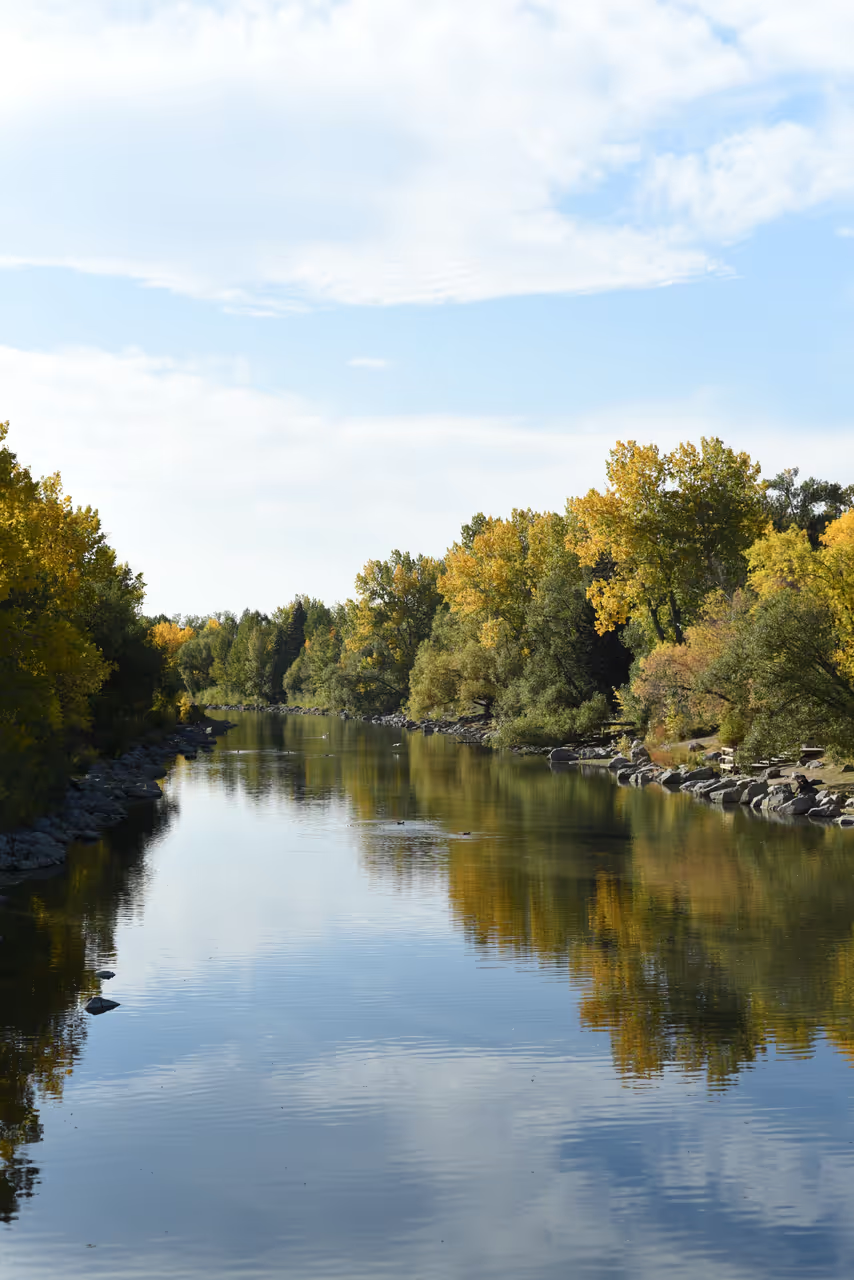
Bow River Pathway Ride
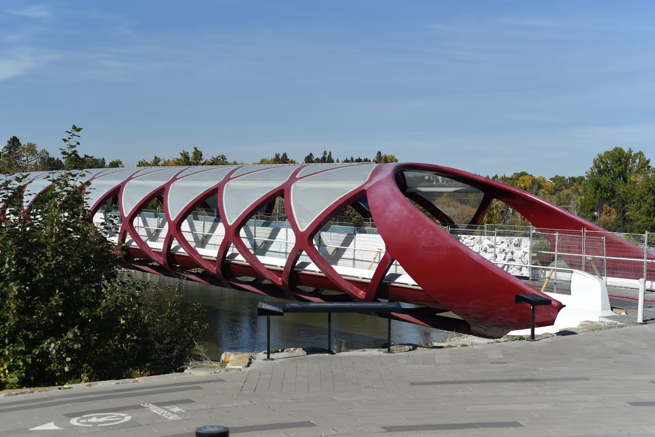
This magnificent route follows the curving banks of the primary river, offering an uninterrupted journey through the heart of the city. You will glide past vibrant urban parks, cross stunning pedestrian bridges, and enjoy constant views of the water juxtaposed against the modern skyline. The pathway is well maintained and largely flat, ensuring a comfortable experience for cyclists of all abilities. It perfectly highlights the seamless integration of nature and urban development.
view route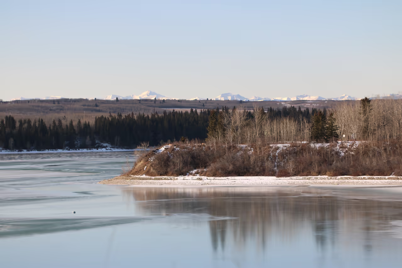
Glenmore Reservoir Loop
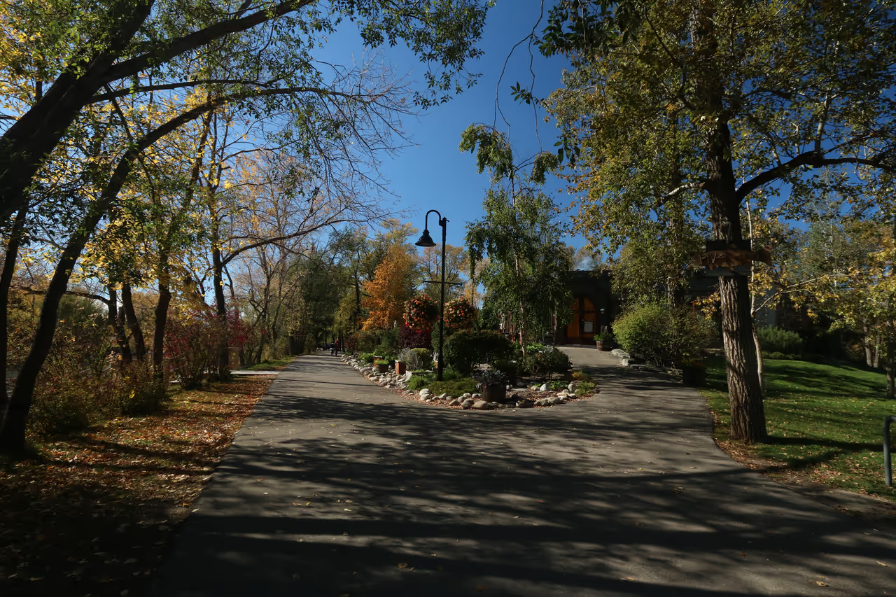
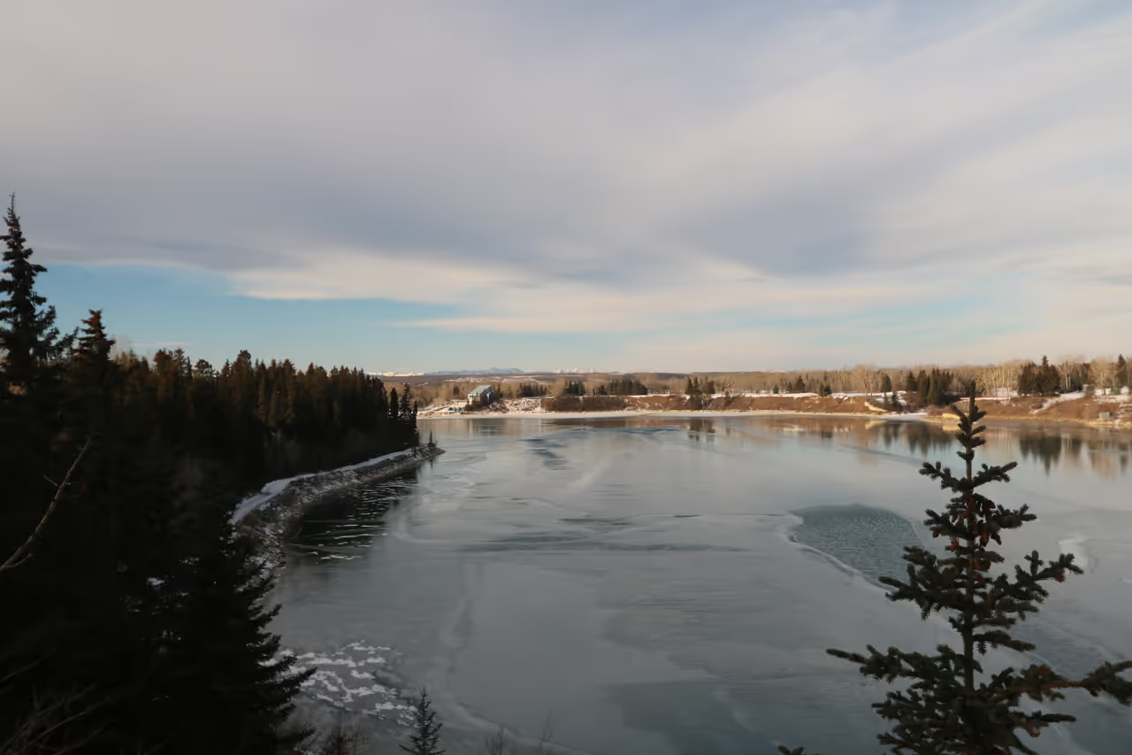
A highly scenic, fully paved loop that completely encircles a massive man-made body of water in the city's southwest quadrant. The route offers sweeping vistas over the water, framed by distant views of the Rocky Mountains on clear days. You will pass through several distinct parks, including beautiful forested areas and open grassy slopes. It is a favourite weekend route for locals seeking fresh air and water views.
view route
Alternative Ways to Tour the City
Switch your pace. Discover curated routes by bike, foot, or self-guided exploration.
Prince's Island to Eau Claire
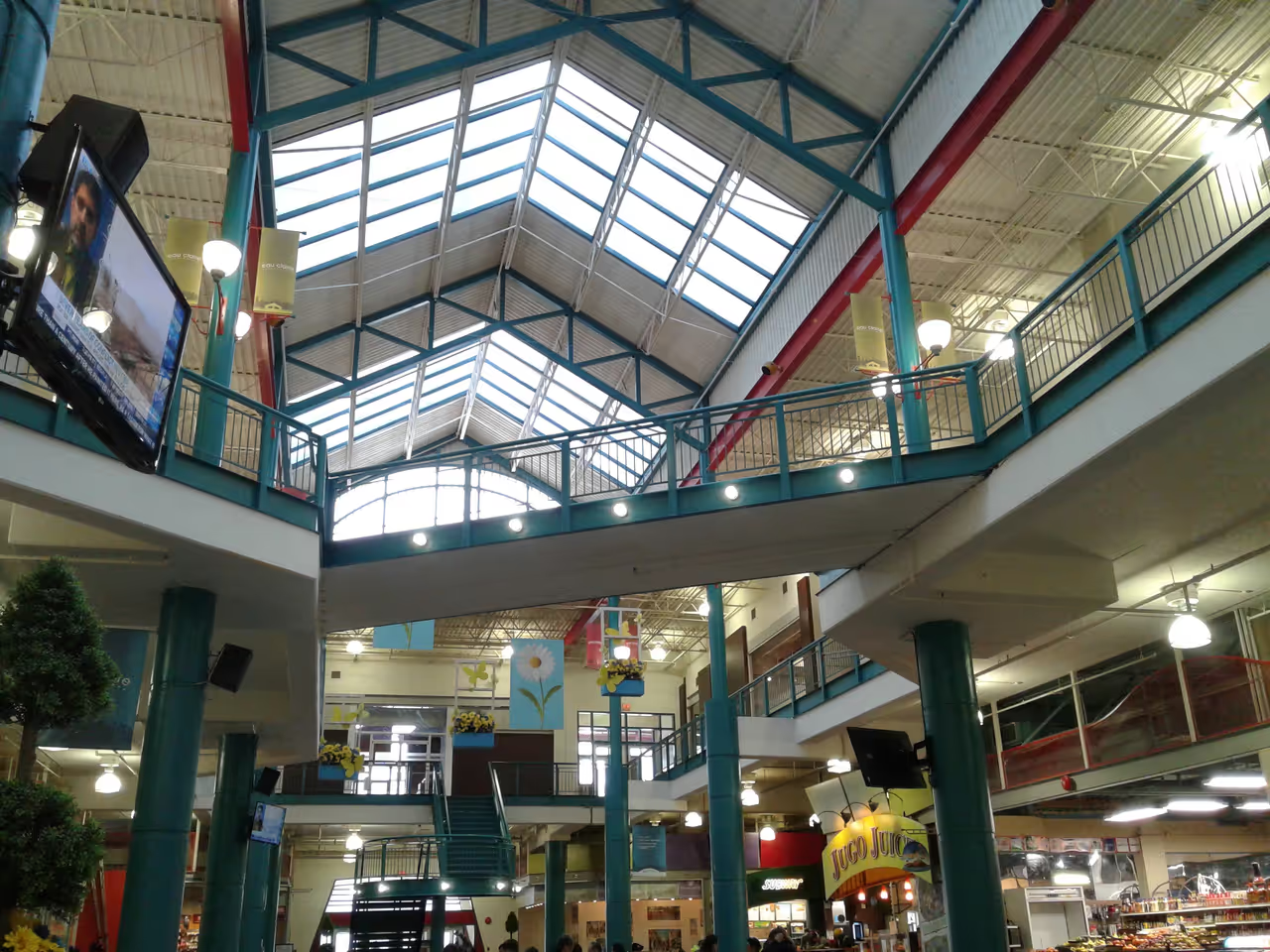
This idyllic walk showcases the absolute best of the city's inner core natural spaces. You wander across footbridges onto a lush, manicured island park surrounded by the rushing waters of the Bow River. The path then gently leads into an adjacent plaza area known for its vibrant community feel and market spaces. It is a highly popular route that provides a brilliant escape from the concrete environment of the nearby office towers.
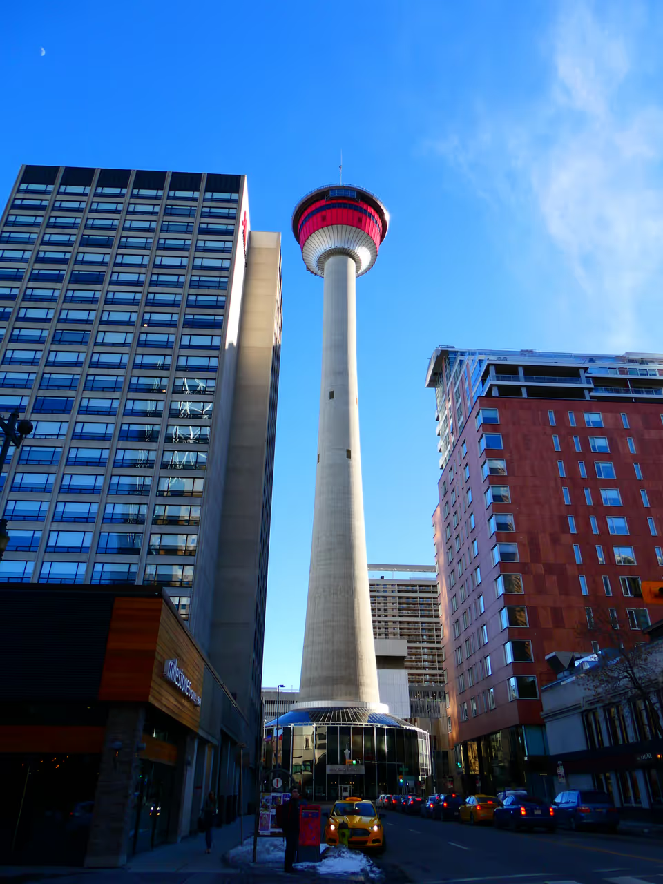
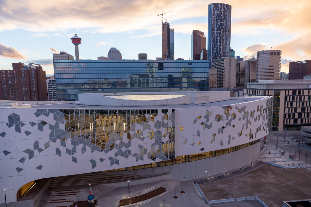
Downtown Architecture and Skywalks
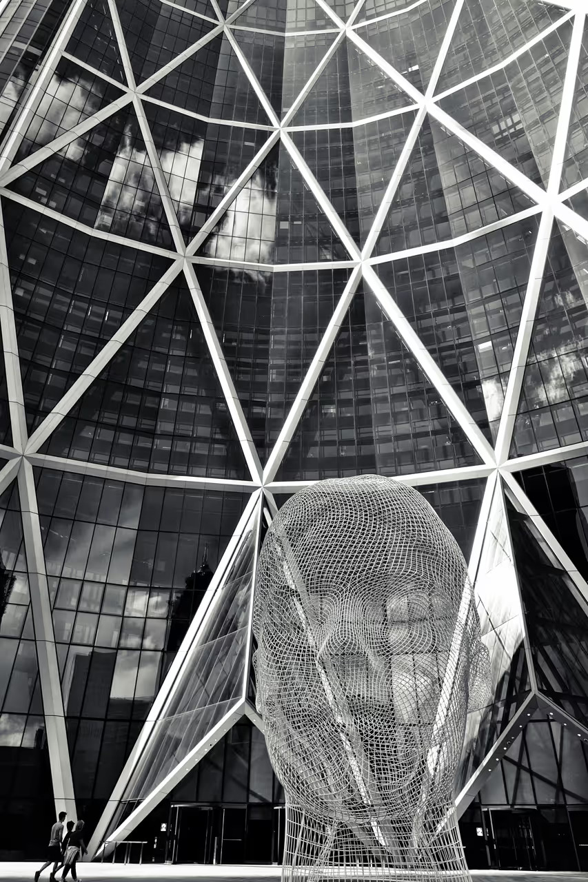
A fascinating architectural journey through the very core of the city, highlighting its transition from sandstone heritage to modern glass monoliths. The route navigates both street-level promenades and the elevated, indoor Plus 15 skywalk network. You will encounter striking examples of contemporary engineering juxtaposed with beautifully preserved historical facades. It is an immersive way to understand the economic and cultural forces that physically shaped the skyline.