Careenage
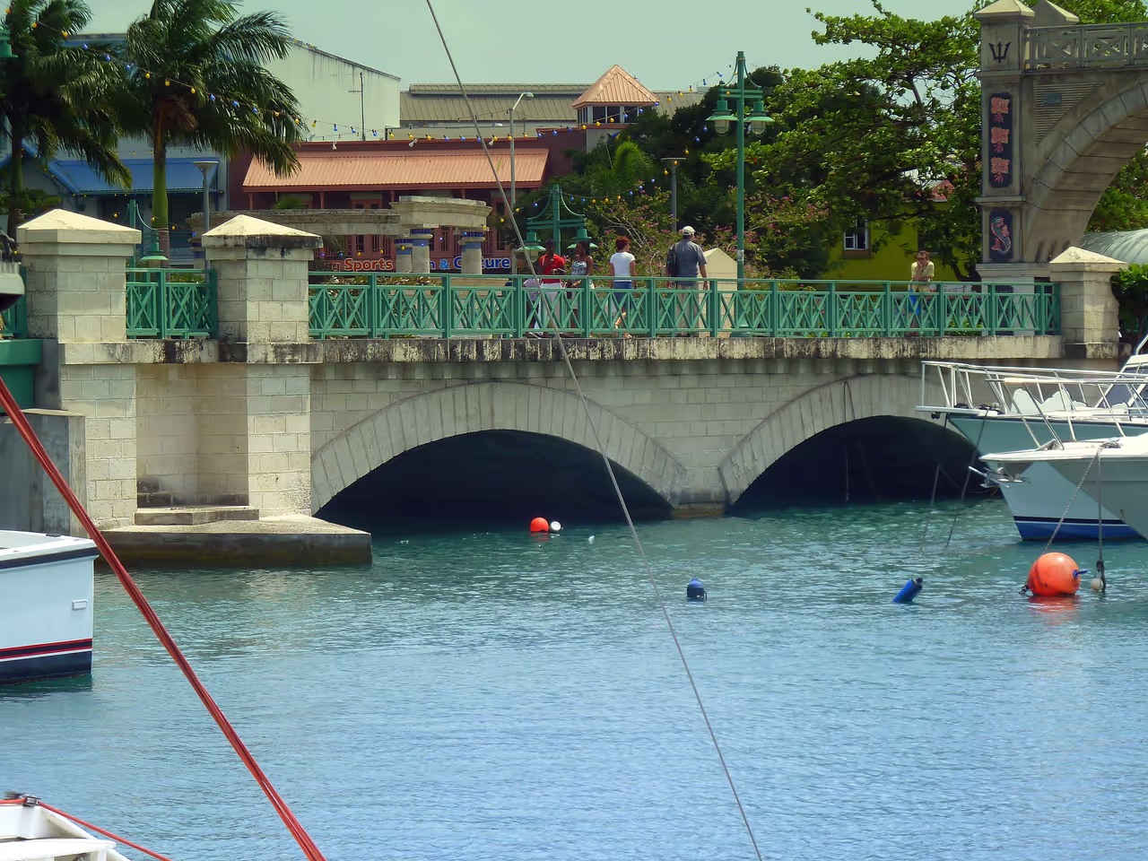
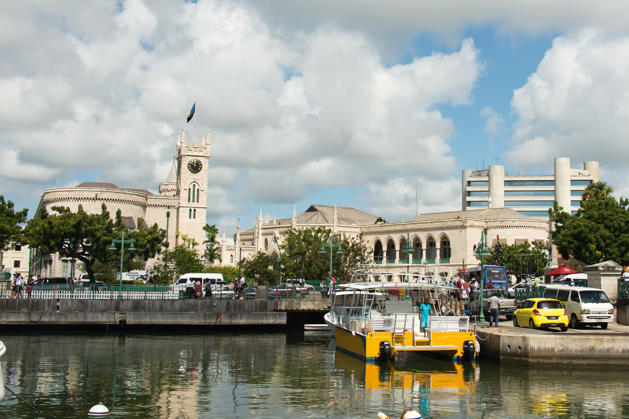
The Careenage is the heart of Bridgetown's history and its modern vitality. This historic waterway served as the primary port for the island for centuries and today offers a charming waterfront experience where yachts bob gently in the Caribbean breeze. Walking along its banks allows you to soak in the vibrant atmosphere while admiring the unique blend of colonial architecture and modern island life. It is an ideal spot for an afternoon stroll, providing a scenic connection between the city and the sea. You will find that this spot offers a peaceful yet engaging glimpse into the soul of the Barbadian capital.
Videos
History of Careenage
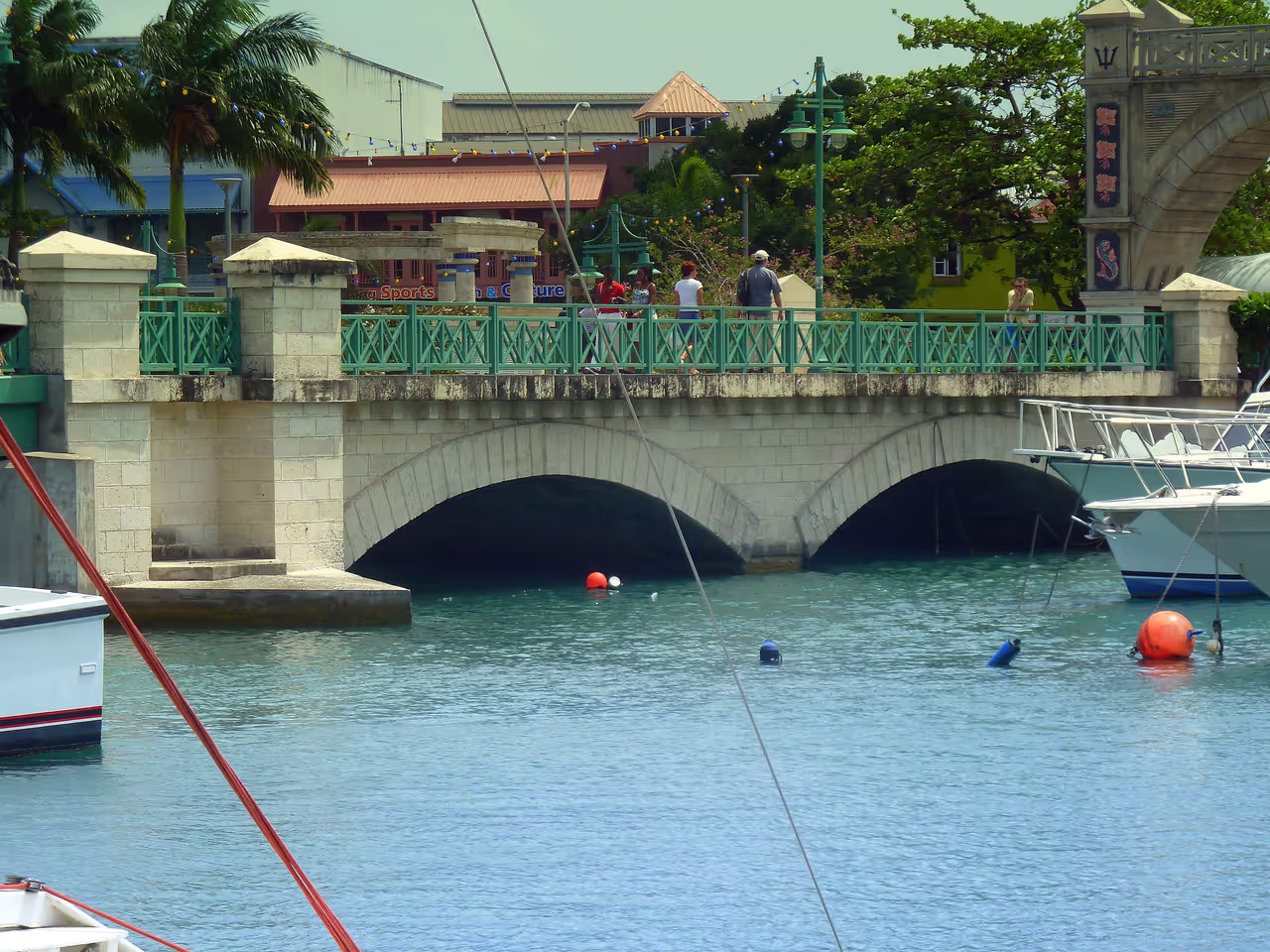
The Careenage acts as the lifeblood of Bridgetown, the cradle where the capital city first took its initial breaths. Centuries ago, European settlers arrived to find a natural and sheltered inlet perfect for protecting their vessels from unpredictable Atlantic storms. This geography dictated the growth of the city, ensuring that commerce and culture clustered tightly around the river mouth. For generations, this was the central hub where sugar, rum, and people flowed in and out, shaping the very economy of the island. The legacy of that era is etched into the architecture that lines the banks today. Stately colonial buildings, once warehouses, have transformed into modern spaces while keeping their historic charm intact. The bridge connecting the two sides of the city serves as a portal between the old world and the new. Locals and visitors alike gather here, drawn by the unique blend of salty sea air and urban energy that only a place with such deep roots can offer. Today, the Careenage serves as a serene sanctuary for yachts, providing a calm contrast to the industrial pace of the nearby deep water harbour. It remains a focal point for the community, a place where the history of the island meets the reality of modern life. Visitors who wander these banks are walking through a timeline that captures the endurance and spirit of Barbados. Every boat that drifts by and every historic stone wall tells a story of a nation that has always looked to the sea for its future.
Events spanning 338 years
Fun Facts
- • For hundreds of years, this was the primary point of entry for almost all goods arriving in Barbados, making it the most critical economic hub of the island.
- • It acts as a tranquil harbour for yachts and small leisure craft, providing a starkly different pace from the busy Deep Water Harbour nearby.
- • The Careenage is officially known as the Constitution River, a name that reflects the deep respect the island has for its legal and political history.
- • The Chamberlain Bridge, which spans the river, features a lift mechanism that allows tall boats to pass through into the heart of the city.
- • The area is a prime spot for local life, often filled with fishermen, tourists, and business professionals mingling near the water edge.
- • The name Careenage comes from the maritime practice of careening, where ships were beached or heeled over to have their hulls cleaned or repaired in shallow, calm waters.
- • The river serves a dual purpose as both a charming tourist attraction and a functional drainage system that manages heavy rainfall from the interior of the island.
- • Walking paths along the river are lined with historic warehouses that have been lovingly restored to host shops, restaurants, and offices, preserving the colonial character of the area.
Careenage FAQ
While we strive to keep this information accurate and up to date, we recommend verifying any details independently before making decisions based on them.
Careenage Map & Neighborhood Explorer
This interactive map is centered on Careenage. Zoom in and move the map around to automatically discover Wikipedia photos and summaries of other nearby sights, monuments, and historical points of interest and stories in real-time!
Places near Careenage
Make the most of your trip. Check out these top-rated spots located nearby.
 122m
122mNidhe Israel Synagogue
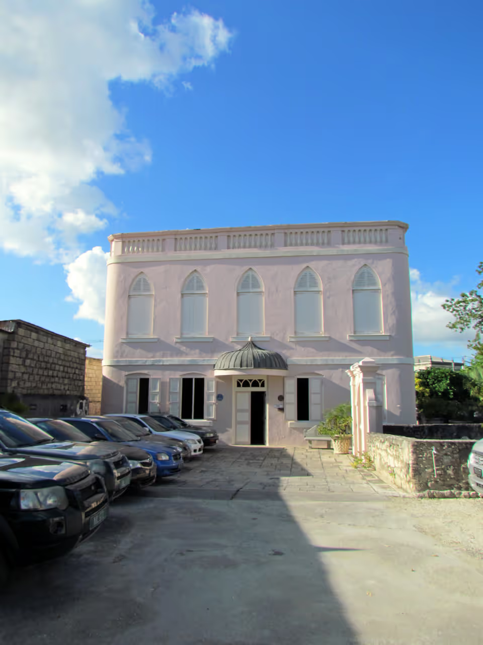
Step into a profound piece of history at the Nidhe Israel Synagogue, a remarkable survivor of the Caribbean diaspora. Established in 1654, this site stands as one of the oldest synagogues in the Western Hemisphere, offering a tranquil escape in the centre of Bridgetown. Visitors can explore the impeccably restored sanctuary, wander through the ancient cemetery, and view the museum which chronicles the Jewish heritage of the island. Its inclusion as a UNESCO World Heritage site underscores the immense significance of this location. It is an essential stop for anyone wanting to connect with the deep, layered history that shaped modern Barbados.
attraction view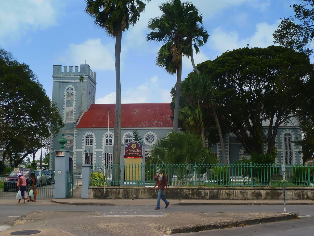 146m
146mGeorgian St Mary's Church
A brilliant example of neoclassical Georgian architecture, providing a stark visual contrast to the surrounding commercial buildings. Constructed in 1827, it features a highly symmetrical brick facade and an elegant, understated bell tower. The rounded arches and formal proportions speak to the disciplined architectural trends of the early nineteenth century. Inside, the timber work is meticulously crafted and well preserved. It is a visually soothing and highly ordered structure in the busy downtown.
architecture view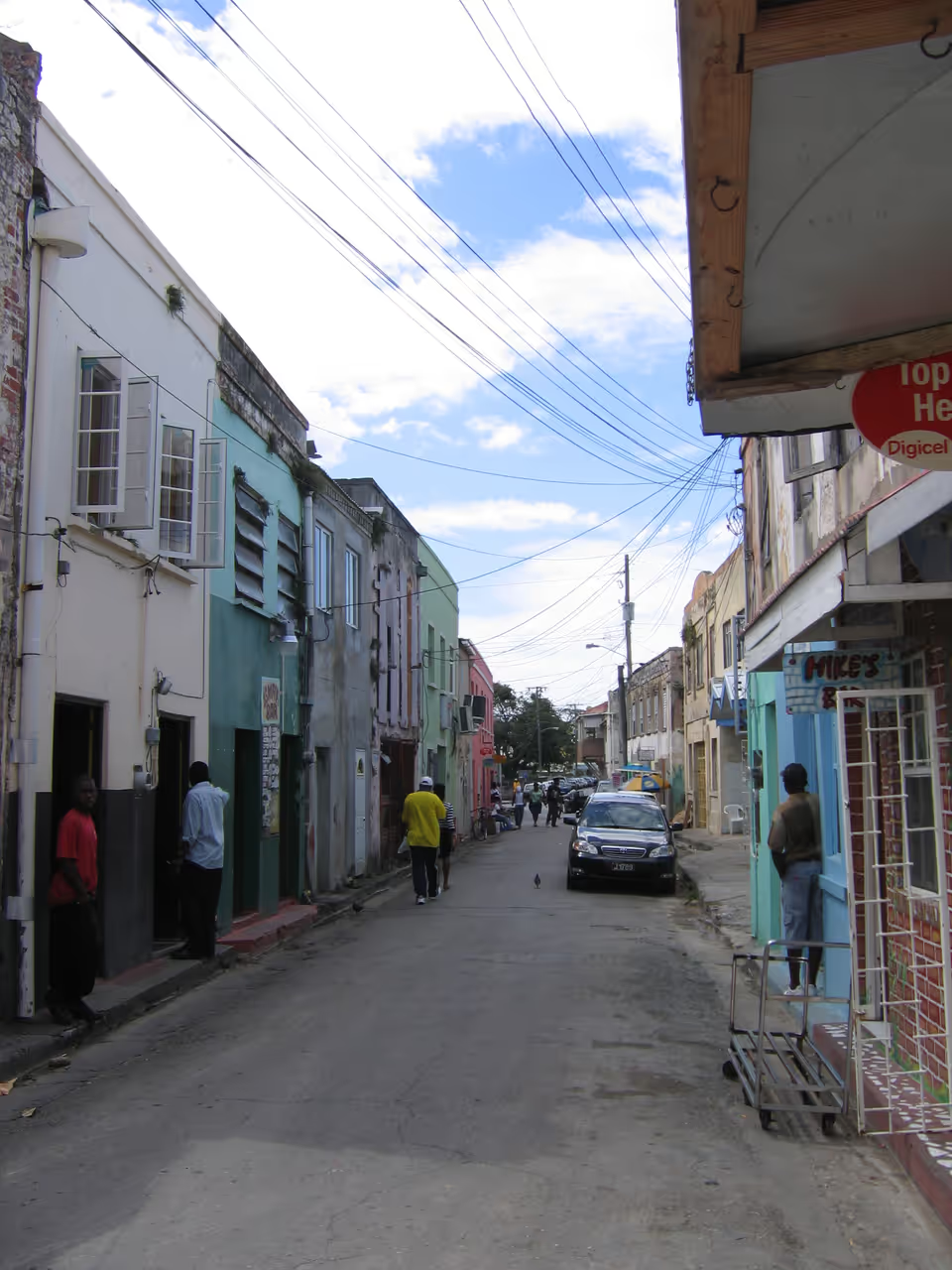 146m
146mSuttle Street Local Bars
For those wanting to step away from the polished tourist spots, this street offers an authentic dive into local Bajan nightlife. It is dotted with traditional rum shops where the island's favourite spirit flows freely. Conversations are loud, games of dominoes are competitive, and the music is proudly Caribbean. It is a raw, unfiltered experience of local social life.
nightlife view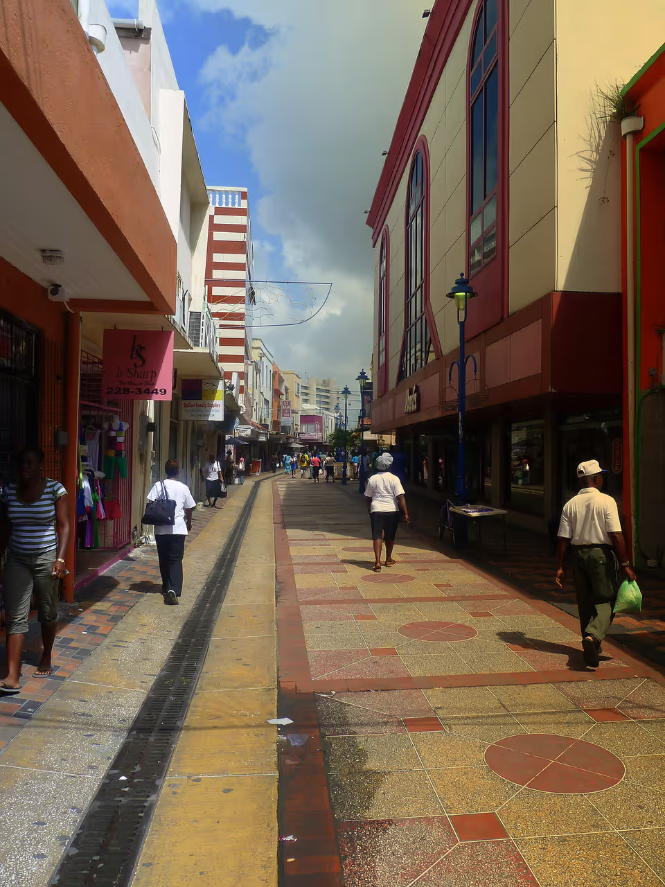 172m
172mWander Down Swan Street
Step into the lively rhythm of local life by walking down this vibrant pedestrian mall. Swan Street is a sensory experience filled with the sounds of reggae and calypso music playing from shopfronts. Street vendors display everything from colourful clothing to fresh tropical fruits, creating a kaleidoscope of everyday Bajan commerce. Taking a leisurely walk here costs absolutely nothing but provides an invaluable glimpse into the authentic daily routines of the city's residents. It is a brilliant way to immerse yourself in the local atmosphere.
free thing to do view
Featured on These Itineraries and Routes
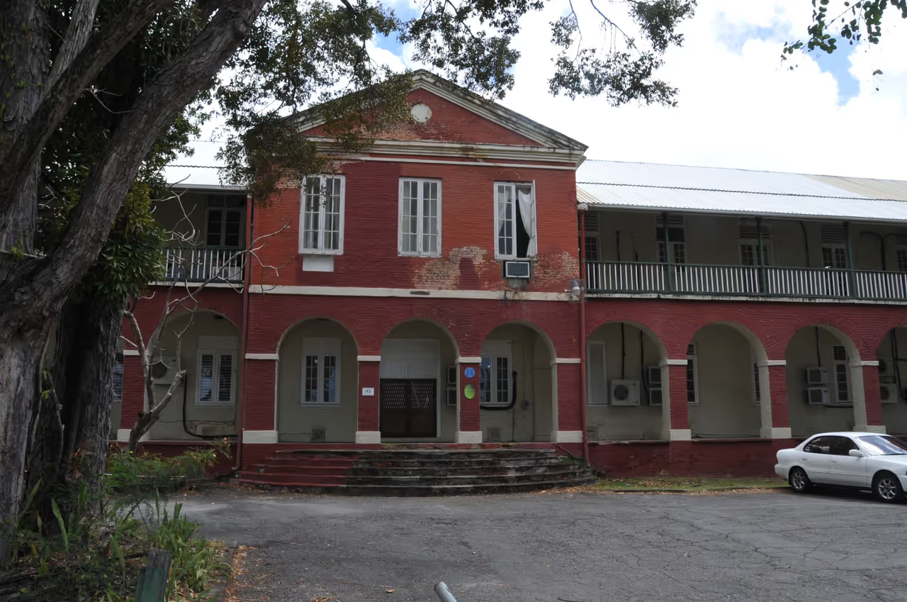
5 Days in Bridgetown Itinerary
This extended itinerary is designed for those who want to truly settle into the rhythm of the city. It spreads out the heavy historical sightseeing, allowing for long, unhurried lunches and relaxed afternoons. You will uncover hidden gems, explore private museums, and sample authentic street food alongside the major monuments. It is the ultimate deep dive into the cultural, historical, and culinary soul of the capital.
view itinerary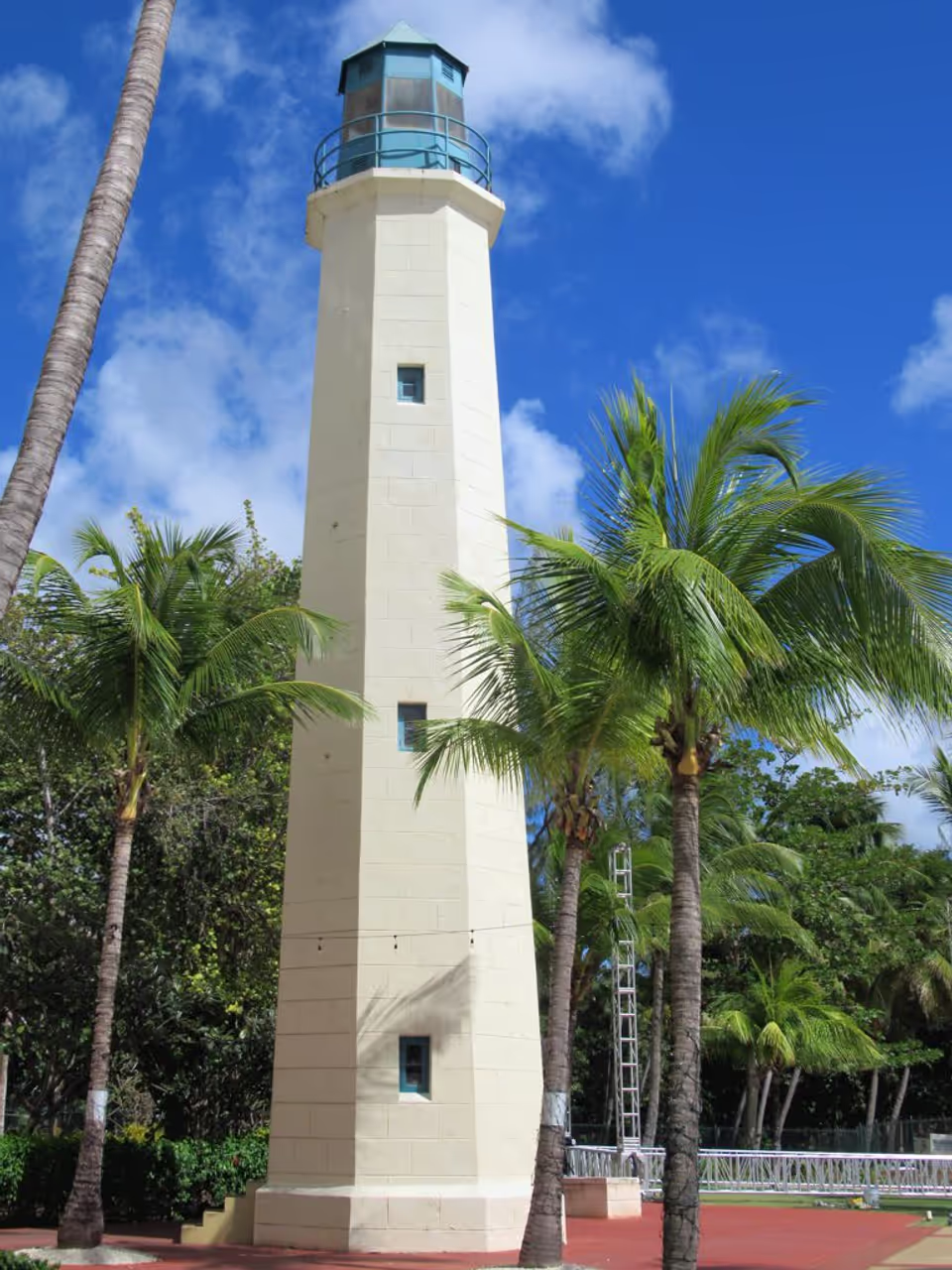
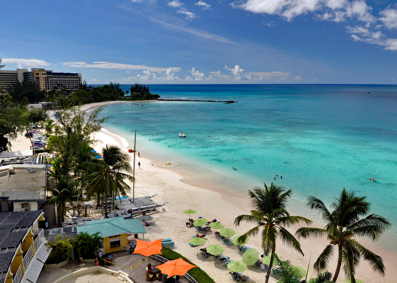
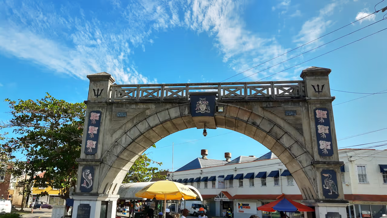
Carlisle Bay Coastal Ride
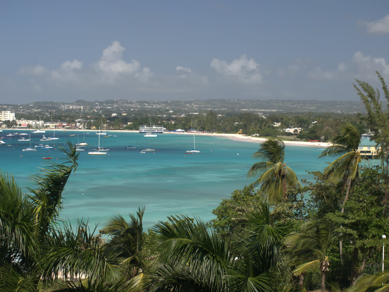
This stunning route follows the gentle curve of one of the Caribbean's most picturesque bays. Cyclists can enjoy a flat, easy ride with constant views of the turquoise waters and white sand. The sea breeze provides natural cooling as you pass by historic forts and lively beach clubs. It perfectly encapsulates the relaxed, tropical essence of the city's coastal edges.
view cycling route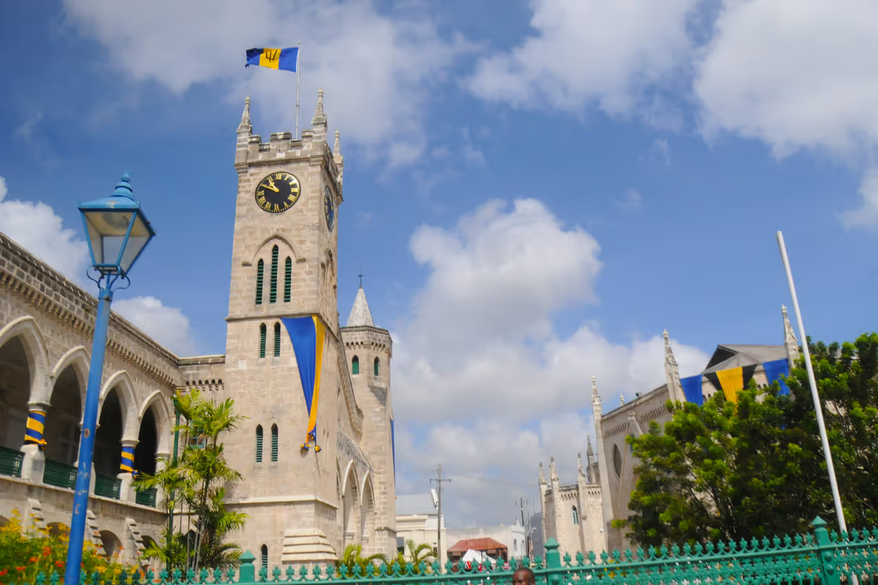
Careenage Promenade
A delightfully scenic walk along the waters of the Constitution River, right through the city's core. The boardwalk is flanked by historic buildings on one side and bobbing pleasure craft on the other. It is an excellent area to appreciate the blending of the city's mercantile past with its leisurely present. The pedestrian-friendly path ensures a peaceful, uninterrupted stroll.
view walking route
See all nature & parks in Bridgetown
Carlisle Bay, National Heroes Square, Needham's Point Lighthouse, Queen's Park...