Carlisle Bay
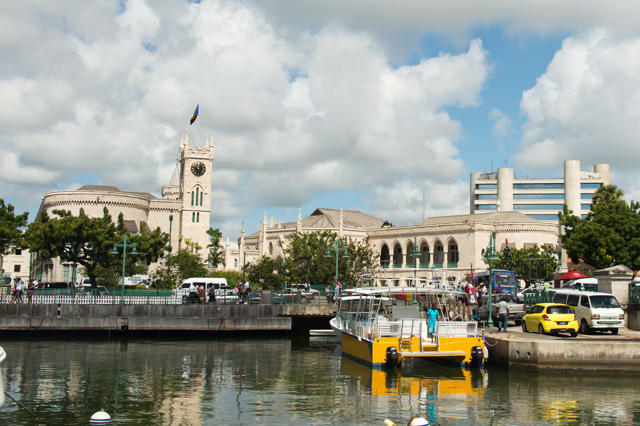
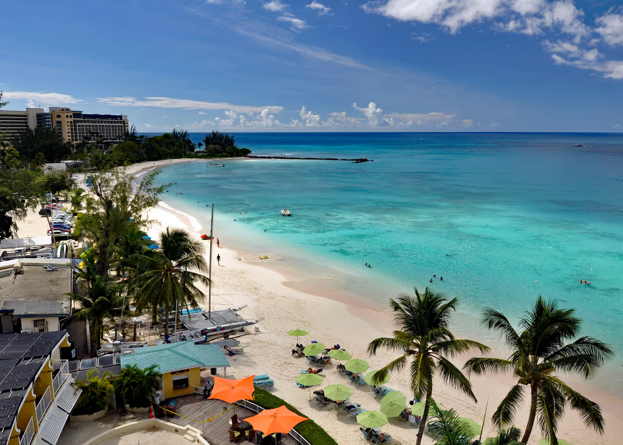
Carlisle Bay serves as the sapphire heart of Bridgetown, inviting visitors to dip into a world where history and nature meet beneath the waves. This expansive natural harbour is far more than a scenic backdrop for the capital, as its protected waters hold a fascinating collection of shipwrecks and marine life waiting to be discovered. Whether you are an experienced diver looking to explore sunken remnants of the past or simply wish to enjoy the gentle waves upon the golden sands, this bay provides a quintessential Caribbean experience. The calm, turquoise waters offer a sanctuary for colourful sea creatures, making it a premier spot for snorkelling and underwater photography. Standing on the shore, you can admire the historic charm of Needham’s Point Lighthouse, which has long watched over these vital trade routes. Visiting this bay feels like stepping back in time while enjoying the tranquil rhythm of island life.
Videos
History of Carlisle Bay
The story of Carlisle Bay begins in the early 17th century, when the island was claimed for the British Crown. It was named in honour of James Hay, the 1st Earl of Carlisle, a man whose influence helped secure the island as a proprietary colony. This natural harbour soon became the epicentre of maritime trade in the region, serving as a gateway for sugar, rum, and goods moving between the Caribbean and Europe. The bay was not merely a port, but a lifeline that connected the island to the wider world, shaping the economic destiny of the entire nation. Throughout its existence, the bay has been a theatre of conflict and strategic importance. In the 17th century, the site saw a fierce naval engagement as a Dutch fleet led by the renowned Michiel de Ruyter attempted to challenge British control. The defensive fortifications along the coast stood firm, securing the harbour for the British. Centuries later, the bay found itself on the front lines of the Second World War. The presence of German U Boats in Caribbean waters brought the reality of global conflict to these shores, evidenced by the torpedoing of the British ship Cornwallis, an event that remains etched into the local memory. Today, the legacy of Carlisle Bay has been transformed from a site of naval tension into a sanctuary for marine conservation. By establishing it as a marine park, the island has protected the remnants of its past, allowing shipwrecks to become artificial reefs that teem with life. These sunken vessels, ranging from former merchant ships to more modern wrecks, tell a silent story of the passage of time. The bay stands as a testament to the resilience of the local environment and its ability to absorb the history of human activity, creating a unique heritage space that invites visitors to connect with the island's storied past beneath the surface of the sea.
Events spanning 315 years
Fun Facts
- • Carlisle Bay acts as a massive open air museum, with various shipwrecks from different eras scattered across the seafloor.
- • During the Second World War, the bay became a strategic site for monitoring U Boat activity in the region.
- • Local maritime legends often tell stories of buried treasure hidden beneath the sands, though most recovered items are of historical rather than monetary value.
- • Needham's Point Lighthouse, located on the edge of the bay, dates back to the 19th century and remains a symbol of the island's maritime guidance.
- • Snorkellers can enjoy remarkable visibility, often reaching over 20 metres, thanks to the bay's sheltered position.
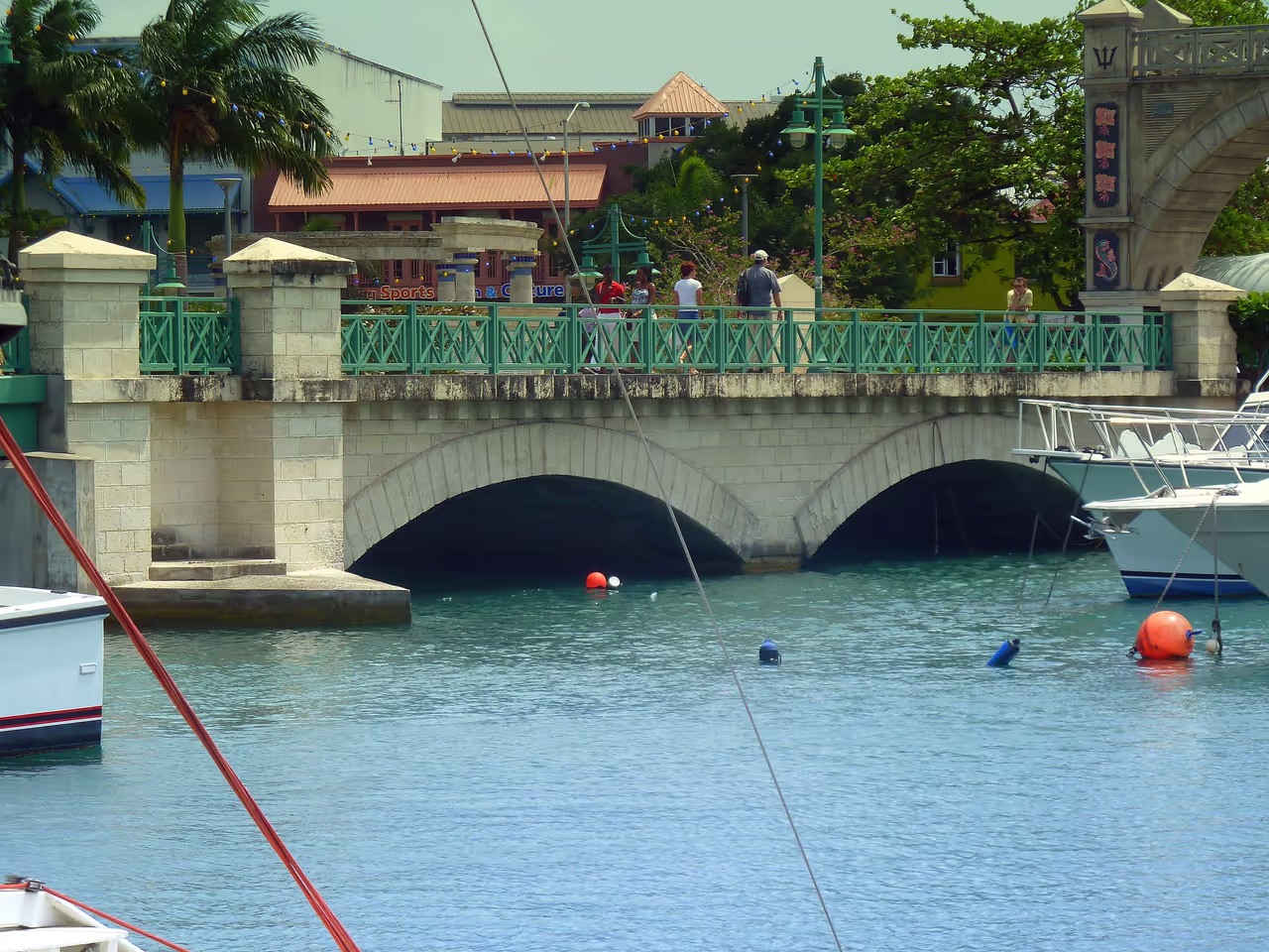
- • The Constitution River flows directly into the bay, which historically played a crucial role in the movement of goods into Bridgetown.
- • The area was a critical defensive location for the British Empire, leading to the construction of several forts along the coastline.
- • The bay is named after James Hay, the 1st Earl of Carlisle, who was a significant figure in early British colonial expansion.
- • The bay's calm conditions make it one of the most accessible locations in the Caribbean for novice divers to experience shipwreck exploration.
- • The marine park is home to diverse sea life, including hawksbill turtles and schools of tropical fish that frequently swim near the wrecks.
- • The seabed contains genuine relics from the 18th and 19th centuries, including weathered anchors and clusters of cannonballs.
- • The transition into a protected marine park has allowed coral formations to thrive on the artificial reefs created by the shipwrecks.
Carlisle Bay FAQ
While we strive to keep this information accurate and up to date, we recommend verifying any details independently before making decisions based on them.
Carlisle Bay Map & Neighborhood Explorer
This interactive map is centered on Carlisle Bay. Zoom in and move the map around to automatically discover Wikipedia photos and summaries of other nearby sights, monuments, and historical points of interest and stories in real-time!
Places near Carlisle Bay
Make the most of your trip. Check out these top-rated spots located nearby.
- 715m
Harbour Lights
This legendary venue transforms from a relaxed beach club by day to the ultimate nightlife hotspot after dark. It is famous for its extravagant dinner shows featuring fire eaters, stilt walkers, and vibrant steel bands. Later in the evening, the sand becomes a massive dance floor under the stars. With free-flowing drinks and energetic music, it is a staple of the local party scene.
nightlife view  821m
821mBay Street Strip
Running southward from the city centre, this coastal road is lined with an excellent variety of late-night food spots and bars. It serves as the perfect corridor for a casual evening out, transitioning from the historic downtown to the vibrant South Coast. You will find everything from famous beach bars to modest rum shops packed with locals. It is ideal for bar hopping and grabbing a late-night seafood bite.
nightlife view- 863m
Cuz's Fish Stand
This incredibly unassuming little shack located near Aquatic Gap serves what is universally agreed to be the best fish sandwich on the island. Operating for decades, the current owner took over from his father, maintaining the exact same beloved recipe. The queue is often a mix of local politicians, surfers, and in-the-know tourists. Eating a fish cutter here while standing in the shade is a cultural rite of passage. It represents the absolute pinnacle of simple, perfect Bajan street food.
hidden gem view - 911m
Aquatic Gap
Tucked away near Needham's Point, this small coastal strip punches above its weight in charm and energy. Known for housing iconic street food stands and small local bars, it is a favourite gathering spot. As the afternoon rolls into the evening, the area comes alive with the smell of frying fish and the sounds of laughter. It represents the quintessential laid-back Caribbean evening out.
nightlife view
Explore Similar Places in This Collection
Featured on These Itineraries and Routes
3 Days in Bridgetown Itinerary
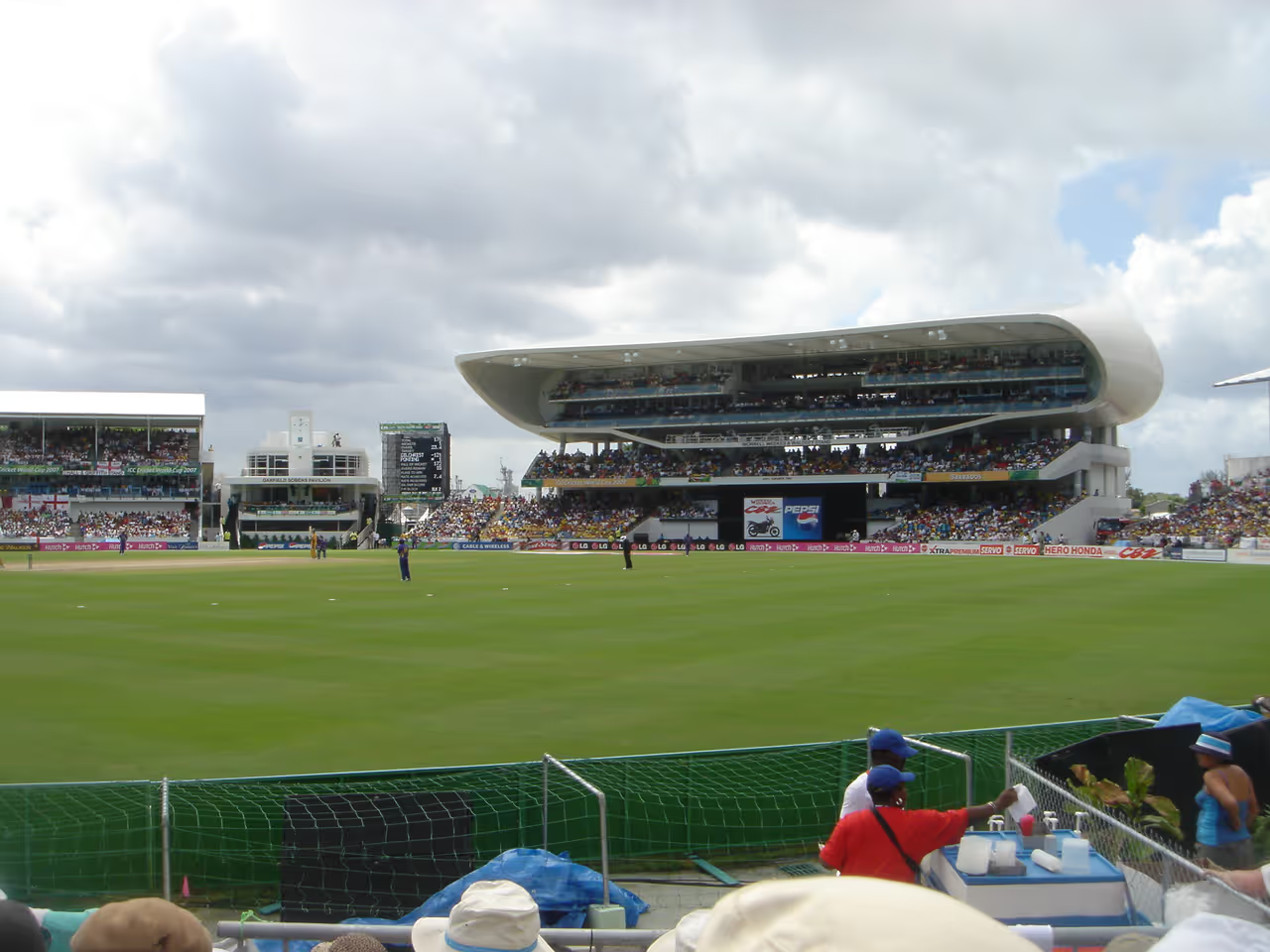
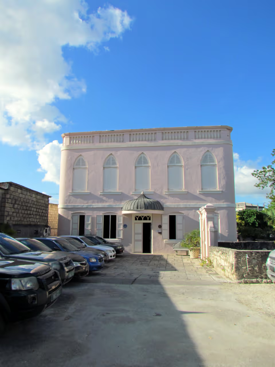
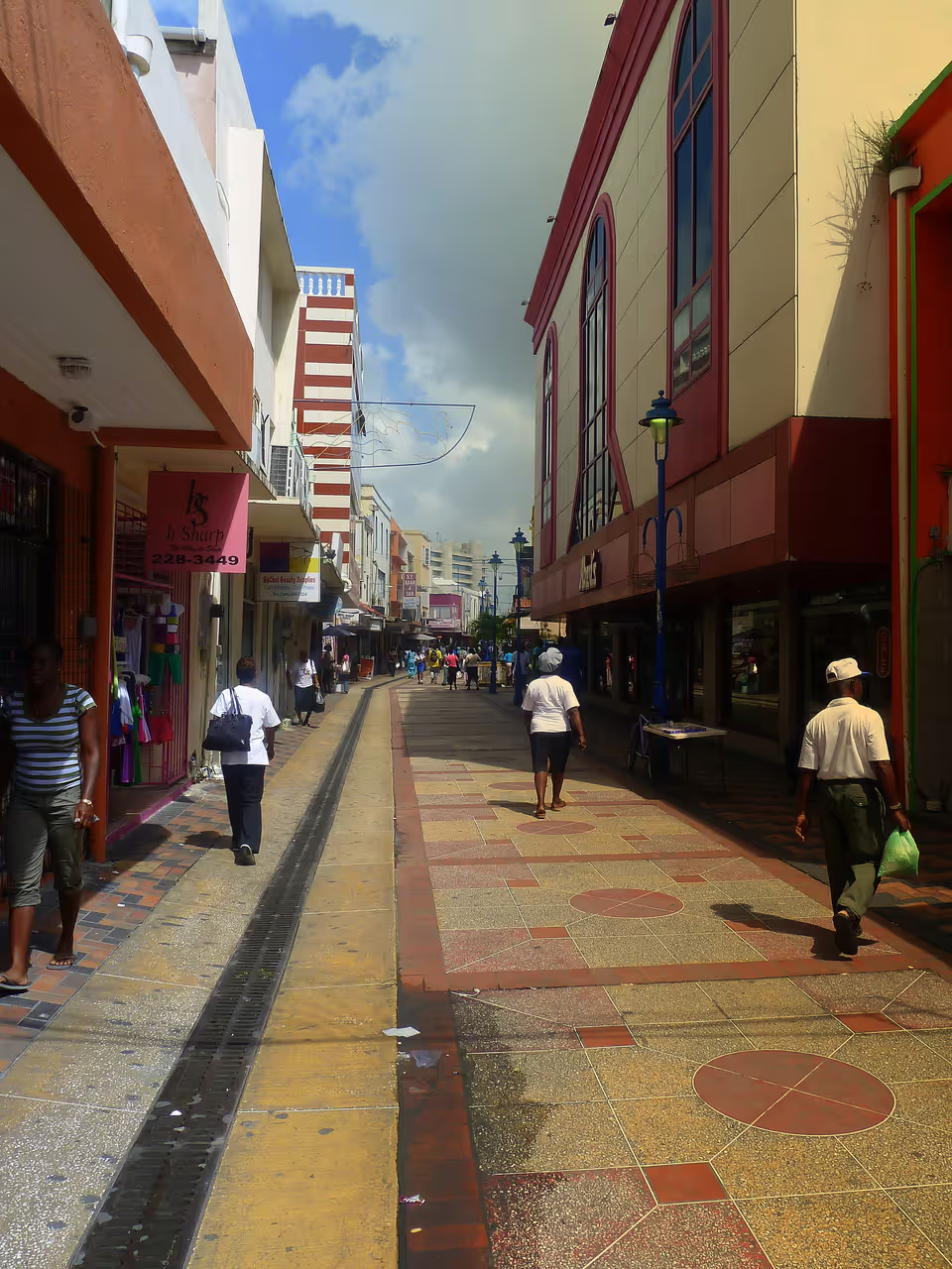
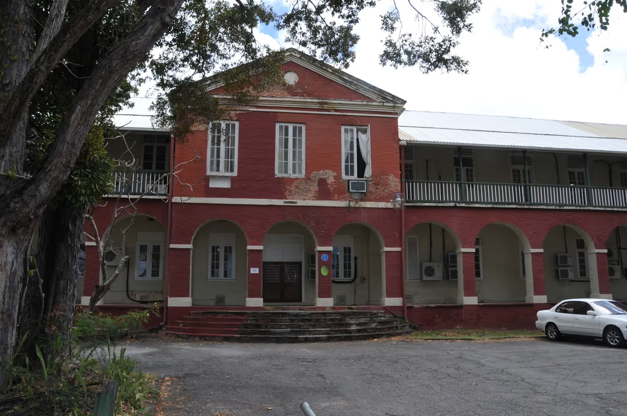
Three days allows for a highly satisfying exploration of the city's diverse offerings. You will spend one day exploring the historic downtown and markets, absorbing the local urban energy. The second day shifts to the impressive military history of the Garrison and relaxing on the spectacular coastal beaches. The final day provides thrilling aquatic adventures and an introduction to the famous local nightlife.
view itinerary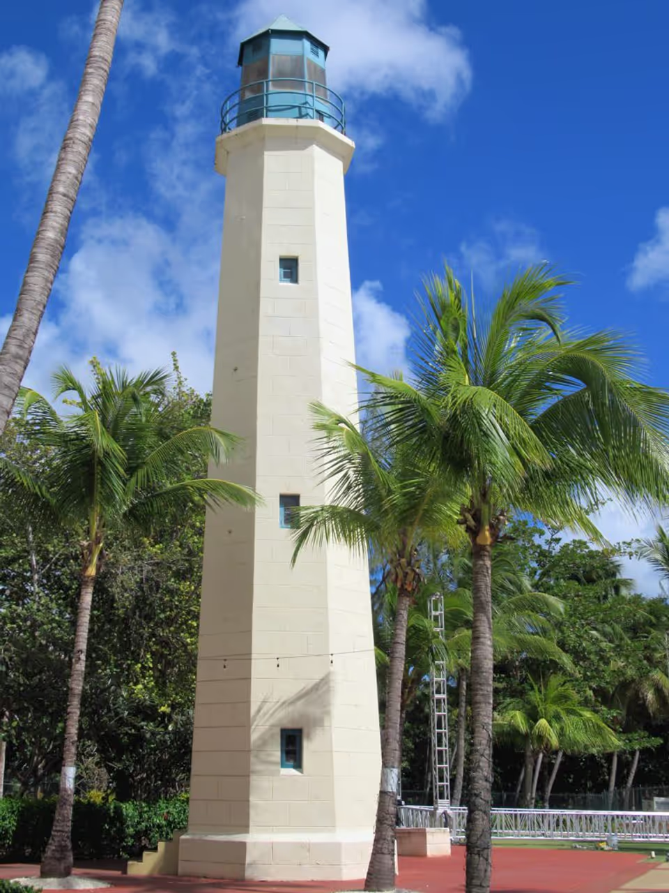
Carlisle Bay Coastal Ride
This stunning route follows the gentle curve of one of the Caribbean's most picturesque bays. Cyclists can enjoy a flat, easy ride with constant views of the turquoise waters and white sand. The sea breeze provides natural cooling as you pass by historic forts and lively beach clubs. It perfectly encapsulates the relaxed, tropical essence of the city's coastal edges.
view cycling route
See all nature & parks in Bridgetown
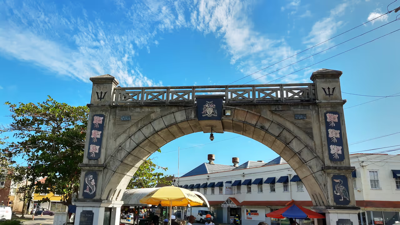
National Heroes Square, Careenage, Needham's Point Lighthouse, Queen's Park...